How to get to IRON MOUNTAIN Chilca by bus?
Click on the bus route to see step by step directions with maps, line arrival times and updated time schedules.
From Club Náutico San Bartolo, San Bartol
58 minFrom ACENESPAR GC - Sede Playa Curayacu, San Bartol
64 minFrom Parque Central Punta Hermosa, Punta Herm
66 minFrom Playa Norte, Punta Herm
68 minFrom Autodromo La Chutana Zona Vip Club, Chilca
43 minFrom Mercado Punta Hermosa, Punta Herm
64 minFrom Aeródromo Lib Mandi (SPLX), San Bartol
52 minFrom Municipalidad De Punta Hermosa, Punta Herm
66 minFrom Malecón Central De Punta Hermosa, Punta Herm
68 minFrom Playa Santa Rosa, Punta Negr
52 min
Bus stop near IRON MOUNTAIN Chilca in Pucusana
- La Honda, 6 min walk,VIEW
Bus lines to IRON MOUNTAIN Chilca in Pucusana
What are the closest stations to IRON MOUNTAIN Chilca?
The closest stations to IRON MOUNTAIN Chilca are:
- La Honda is 358 meters away, 6 min walk.
Which bus lines stop near IRON MOUNTAIN Chilca?
These bus lines stop near IRON MOUNTAIN Chilca: 8508, 8511.
What’s the nearest bus station to IRON MOUNTAIN Chilca in Pucusana?
The nearest bus station to IRON MOUNTAIN Chilca in Pucusana is La Honda. It’s a 6 min walk away.
What time is the first bus to IRON MOUNTAIN Chilca in Pucusana?
The 8511 is the first bus that goes to IRON MOUNTAIN Chilca in Pucusana. It stops nearby at 4:06 AM.
What time is the last bus to IRON MOUNTAIN Chilca in Pucusana?
The 8508 is the last bus that goes to IRON MOUNTAIN Chilca in Pucusana. It stops nearby at 12:42 AM.
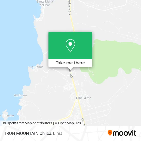
See IRON MOUNTAIN Chilca, Pucusana, on the map
Public Transit to IRON MOUNTAIN Chilca in Pucusana
Wondering how to get to IRON MOUNTAIN Chilca in Pucusana? Moovit helps you find the best way to get to IRON MOUNTAIN Chilca with step-by-step directions from the nearest public transit station.
Moovit provides free maps and live directions to help you navigate through your city. View schedules, routes, timetables, and find out how long does it take to get to IRON MOUNTAIN Chilca in real time.
Looking for the nearest stop or station to IRON MOUNTAIN Chilca? Check out this list of stops closest to your destination: La Honda.
Bus: 8508, 8511, 1254, 1467.
Want to see if there’s another route that gets you there at an earlier time? Moovit helps you find alternative routes or times. Get directions from and directions to IRON MOUNTAIN Chilca easily from the Moovit App or Website.
We make riding to IRON MOUNTAIN Chilca easy, which is why over 1.5 million users, including users in Pucusana, trust Moovit as the best app for public transit. You don’t need to download an individual bus app or train app, Moovit is your all-in-one transit app that helps you find the best bus time or train time available.
For information on prices of bus, costs and ride fares to IRON MOUNTAIN Chilca, please check the Moovit app.
Use the app to navigate to popular places including to the airport, hospital, stadium, grocery store, mall, coffee shop, school, college, and university.
Location: Pucusana, Lima
- Entrada A Playa La Honda,
- Panamericana Sur Km 55 56,
- Zona Arqueológica Pucusana,
- BUS - SOYUZ,
- Grifo Petroamerica,
- El Remanso,
- Sunat Pucusana,
- Control Sunat Pucusana,
- Policía de Carreteras Lima Sur,
- Margarita Navarro De Chauca,
- Safari Ranch Armas y Polígonos,
- Entrada A Playa La Tiza,
- Poligono Safari Ranch,
- Safari Range,
- La Planicie De Pucusana,
- Sutma,
- Panamericana Sur Kilómetro 61,
- Panamericana Sur Km 56,
- Petro América,
- PANAMERICANA SUR KM 57
Places Near IRON MOUNTAIN Chilca (Pucusana)
- av arequipa, Lima,
- Miraflores, Miraflores,
- Pontificia Universidad Católica del Perú - PUCP, San Miguel,
- Hospital Edgardo Rebagliati Martins, Jesus Mari,
- Larcomar, Miraflores,
- Jockey Plaza, Santiago D,
- Parque de las Leyendas, San Miguel,
- Av. Salaverry, Jesus Mari,
- Parque Kennedy, Miraflores,
- Real Plaza Puruchuco, Ate,
- Aeropuerto Internacional Jorge Chávez, Ventanilla,
- Av. La Marina, San Miguel,
- Plaza San Miguel, San Miguel,
- Circuito Mágico Del Agua, Lima,
- Paradero Av.Brasil,
- Gamarra,
- Centro Comercial Plaza Norte, Independen,
- Mall Del Sur,
- Av. Abancay, Lima,
- Barranco, Barranco
How to get to popular places in Lima with public transit
Get around Pucusana by public transit!
Traveling around Pucusana has never been so easy. See step by step directions as you travel to any attraction, street or major public transit station. View bus and train schedules, arrival times, service alerts and detailed routes on a map, so you know exactly how to get to anywhere in Pucusana.
When traveling to any destination around Pucusana use Moovit's Live Directions with Get Off Notifications to know exactly where and how far to walk, how long to wait for your line, and how many stops are left. Moovit will alert you when it's time to get off — no need to constantly re-check whether yours is the next stop.
Wondering how to use public transit in Pucusana or how to pay for public transit in Pucusana? Moovit public transit app can help you navigate your way with public transit easily, and at minimum cost. It includes public transit fees, ticket prices, and costs. Looking for a map of Pucusana public transit lines? Moovit public transit app shows all public transit maps in Pucusana with all Bus, Metro and Ferry routes and stops on an interactive map.
Lima has 3 transit type(s), including: Bus, Metro and Ferry, operated by several transit agencies, including Metro de Lima Línea 2 , Metro de Lima, Corredor Rojo, Metropolitano, Metropolitano - Alimentadores, Corredor Morado, Corredor Azul, Rutas Tradicionales, Transportes y Servicios La Esperanza S.A., Las Flores S.A., Virgen de la Asunción S.A., Consorcio HAM, Transportes y Service Canadá S.A., ETUL4SA and ETUCHISA