How to get to Icon Test Labs by bus?
Click on the bus route to see step by step directions with maps, line arrival times and updated time schedules.
From Killarney Junior High School, Edmonton
50 minFrom Checkpoint Charlie Survival Supplies, Edmonton
54 minFrom Whitemud Crossing EPL Public Library, Edmonton
57 minFrom Digitex Inc, Edmonton
46 minFrom Bismillah Meat LTD, Edmonton
55 minFrom Service Canada Centre, Edmonton
67 minFrom TD Canada Trust Atm, Edmonton
66 minFrom Strathcona Science Park, Strathcona County
70 minFrom Taco del Mar, Edmonton
53 min
Bus stop near Icon Test Labs in Edmonton
- 116 Street & 107 Avenue, 1 min walk,VIEW
Light Rail stations near Icon Test Labs in Edmonton
Bus lines to Icon Test Labs in Edmonton
What are the closest stations to Icon Test Labs?
The closest stations to Icon Test Labs are:
- 116 Street & 107 Avenue is 61 meters away, 1 min walk.
- Macewan Station is 968 meters away, 13 min walk.
- Corona Station is 3367 meters away, 44 min walk.
Which bus lines stop near Icon Test Labs?
These bus lines stop near Icon Test Labs: 003, 007, 901, 902.
What’s the nearest light rail station to Icon Test Labs in Edmonton?
The nearest light rail station to Icon Test Labs in Edmonton is Macewan Station. It’s a 13 min walk away.
What’s the nearest bus station to Icon Test Labs in Edmonton?
The nearest bus station to Icon Test Labs in Edmonton is 116 Street & 107 Avenue. It’s a 1 min walk away.
What time is the first light rail to Icon Test Labs in Edmonton?
The METRO is the first light rail that goes to Icon Test Labs in Edmonton. It stops nearby at 5:55 AM.
What time is the last light rail to Icon Test Labs in Edmonton?
The METRO is the last light rail that goes to Icon Test Labs in Edmonton. It stops nearby at 12:38 AM.
What time is the first bus to Icon Test Labs in Edmonton?
The 901 is the first bus that goes to Icon Test Labs in Edmonton. It stops nearby at 5:55 AM.
What time is the last bus to Icon Test Labs in Edmonton?
The 901 is the last bus that goes to Icon Test Labs in Edmonton. It stops nearby at 12:24 AM.
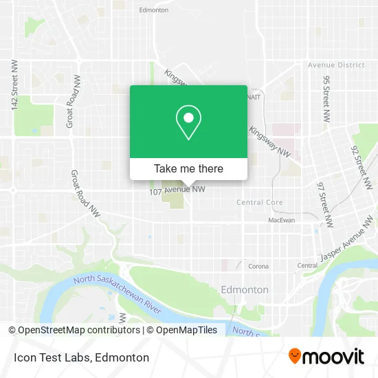
See Icon Test Labs, Edmonton, on the map
Public Transit to Icon Test Labs in Edmonton
Wondering how to get to Icon Test Labs in Edmonton? Moovit helps you find the best way to get to Icon Test Labs with step-by-step directions from the nearest public transit station.
Moovit provides free maps and live directions to help you navigate through your city. View schedules, routes, timetables, and find out how long does it take to get to Icon Test Labs in real time.
Looking for the nearest stop or station to Icon Test Labs? Check out this list of stops closest to your destination: 116 Street & 107 Avenue; Macewan Station; Corona Station.
Bus: 003, 007, 901, 902.
Want to see if there’s another route that gets you there at an earlier time? Moovit helps you find alternative routes or times. Get directions from and directions to Icon Test Labs easily from the Moovit App or Website.
We make riding to Icon Test Labs easy, which is why over 1.5 million users, including users in Edmonton, trust Moovit as the best app for public transit. You don’t need to download an individual bus app or train app, Moovit is your all-in-one transit app that helps you find the best bus time or train time available.
For information on prices of bus and light rail, costs and ride fares to Icon Test Labs, please check the Moovit app.
Use the app to navigate to popular places including to the airport, hospital, stadium, grocery store, mall, coffee shop, school, college, and university.
Icon Test Labs Address: 11611 107 Ave NW Edmonton, AB T5H 0P9 street in Edmonton
- Rabbit Rabbit Most Auspicious Tattoo,
- Edmonton Diabetes & Hi,
- Hughes 107 Ave & 116 St,
- Central Pentecostal Tabernacle,
- Killam Apartment Subsi,
- Vibe Lofts,
- Jamey M. Photography,
- ETS Bus Stop 1671,
- Seed To Soul - 107 Ave,
- Shertech Solutions,
- Green Thimble,
- Shimmering Maids,
- Jr Landscaping and Snow Services,
- Dark Mountain Music,
- Midtown Estates,
- More for Health,
- Wali Ahmad,
- Sugared Out,
- Tribeca7 Townhomes,
- Wahayu Cleaning Services
Places Near Icon Test Labs (Edmonton)
- Canada Place Service Canada Centre, Edmonton,
- Rogers Place, Edmonton,
- Edmonton VIA Rail Station, Edmonton,
- Northgate Centre, Edmonton,
- University of Alberta, Edmonton,
- Kingsway Mall, Edmonton,
- Grey Nuns Community Hospital, Edmonton,
- Edmonton Commonwealth Stadium, Edmonton,
- Fort Edmonton Park, Edmonton,
- West Edmonton Mall, Edmonton,
- Cross Cancer Institute, Edmonton,
- Borden Park, Edmonton,
- Kaye Edmonton Clinic, Edmonton,
- Londonderry Mall, Edmonton,
- Alberta Legislature Building, Edmonton,
- Royal Alexandra Hospital, Edmonton,
- Whyte Avenue, Edmonton,
- MacEwan University, Edmonton,
- Edmonton EXPO Centre, Edmonton,
- Edmonton Valley Zoo, Edmonton
How to get to popular places in Edmonton with public transit
Get around Edmonton by public transit!
Traveling around Edmonton has never been so easy. See step by step directions as you travel to any attraction, street or major public transit station. View bus and train schedules, arrival times, service alerts and detailed routes on a map, so you know exactly how to get to anywhere in Edmonton.
When traveling to any destination around Edmonton use Moovit's Live Directions with Get Off Notifications to know exactly where and how far to walk, how long to wait for your line, and how many stops are left. Moovit will alert you when it's time to get off — no need to constantly re-check whether yours is the next stop.
Wondering how to use public transit in Edmonton or how to pay for public transit in Edmonton? Moovit public transit app can help you navigate your way with public transit easily, and at minimum cost. It includes public transit fees, ticket prices, and costs. Looking for a map of Edmonton public transit lines? Moovit public transit app shows all public transit maps in Edmonton with all Bus and Light Rail routes and stops on an interactive map.
Edmonton has 2 transit type(s), including: Bus and Light Rail, operated by several transit agencies, including ETS LRT, ETS, Strathcona County Transit, St. Albert Transit, Spruce Grove Transit, Fort Saskatchewan Transit, Beaumont Transit and Leduc Transit