How to get to Identity Miami by bus?
Click on the bus route to see step by step directions with maps, line arrival times and updated time schedules.
From Consulado General de Honduras en Miami, Miami
37 minFrom W 72 Ave & Flagler St, Miami
21 minFrom La Colmena del Dr. Fausto Losana, Kendale Lakes-Tamiami
45 minFrom Target (Target Store Dadeland), Miami
70 minFrom Rodeway Inn South Miami - Coral Gables, Miami
65 minFrom Miami - Dade County Turner Guilford Knight Correctional Center, North Westside
51 minFrom Sunset Dr, Miami
62 minFrom Clarion Inn & Suites Miami Airport, Miami
67 minFrom Larkin Community Hospital, Miami
72 minFrom Flamingo Parking Garage, Miami
101 min
Bus stops near Identity Miami in North Westside
Bus lines to Identity Miami in North Westside
What are the closest stations to Identity Miami?
The closest stations to Identity Miami are:
- Sw 107 Av @ Sw 4 St is 48 yards away, 1 min walk.
- Sw 4 St @ Sw 107 Av is 116 yards away, 2 min walk.
- Sw 109 Av @ Sw 4 St is 445 yards away, 6 min walk.
- W Flagler St & Sw 107 Av is 534 yards away, 7 min walk.
Which bus lines stop near Identity Miami?
These bus lines stop near Identity Miami: 107, 11, 137, 211, 8.
What’s the nearest bus station to Identity Miami in North Westside?
The nearest bus station to Identity Miami in North Westside is Sw 107 Av @ Sw 4 St. It’s a 1 min walk away.
What time is the first bus to Identity Miami in North Westside?
The 11 is the first bus that goes to Identity Miami in North Westside. It stops nearby at 3:11 AM.
What time is the last bus to Identity Miami in North Westside?
The 11 is the last bus that goes to Identity Miami in North Westside. It stops nearby at 2:46 AM.
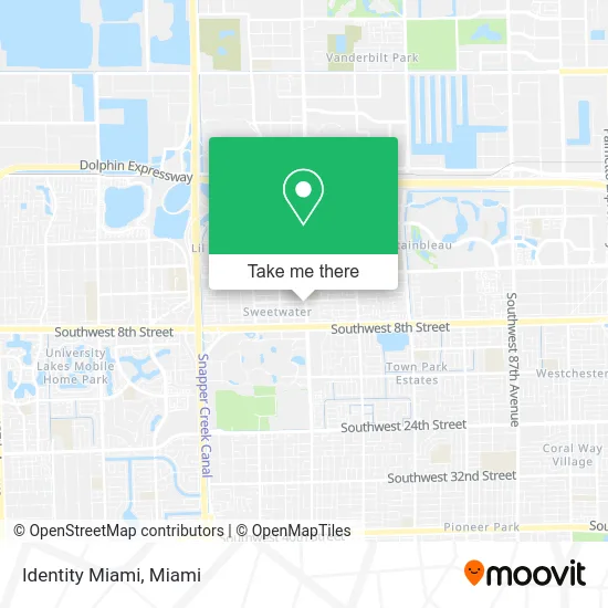
See Identity Miami, North Westside, on the map
Public Transit to Identity Miami in North Westside
Wondering how to get to Identity Miami in North Westside? Moovit helps you find the best way to get to Identity Miami with step-by-step directions from the nearest public transit station.
Moovit provides free maps and live directions to help you navigate through your city. View schedules, routes, timetables, and find out how long does it take to get to Identity Miami in real time.
Looking for the nearest stop or station to Identity Miami? Check out this list of stops closest to your destination: Sw 107 Av @ Sw 4 St; Sw 4 St @ Sw 107 Av; Sw 109 Av @ Sw 4 St; W Flagler St & Sw 107 Av.
Bus: 107, 11, 137, 211, 8, SWTWTA, SWTWTB, DLOOP4.
Want to see if there’s another route that gets you there at an earlier time? Moovit helps you find alternative routes or times. Get directions from and directions to Identity Miami easily from the Moovit App or Website.
We make riding to Identity Miami easy, which is why over 1.5 million users, including users in North Westside, trust Moovit as the best app for public transit. You don’t need to download an individual bus app or train app, Moovit is your all-in-one transit app that helps you find the best bus time or train time available.
For information on prices of bus and light rail, costs and ride fares to Identity Miami, please check the Moovit app.
Use the app to navigate to popular places including to the airport, hospital, stadium, grocery store, mall, coffee shop, school, college, and university.
Identity Miami Address: 400 SW 107th Ave street in North Westside
- Sweetwater, Florida,
- Primera Farmacia Latina,
- Farmacia Latina Discount,
- Botanika "El Congo",
- Women's Kickboxing Fitness,
- Dinoval,
- Giselle Pino Oliva DDS,
- Matilen Cafe,
- Green Spot Smoke Shop,
- DHL,
- Leon Driving School Inc,
- Anbt Performing Arts Company,
- Francisco Group,
- ATM,
- Krispy Krunchy Chicken,
- Hada's Insurance,
- Advanced General Strategies,
- Rey's Pizza,
- Golden Lizzard,
- Bayview Nails & Beauty Spa Plus
Places Near Identity Miami (North Westside)
- Richard E. Gerstein Justice Building, Miami,
- Dolphin Mall, Miami,
- Wynwood, Miami,
- Hard Rock Stadium, Miami Gardens,
- Miami Freedom Park, Miami,
- Dolphin Mall Bus, Miami,
- Aventura Mall, Miami Beach,
- Marlins Park, Miami,
- Miami-Dade County Courthouse, Miami,
- Miami VA Hospital, Miami,
- Miami Design District, Miami,
- Little Havana, Miami,
- Brickell City Centre, Miami,
- Sawgrass mall ( FL ), Miami Beach,
- Sawgrass Mall, Miami,
- Keiser University Flagship Campus, West Palm Beach,
- Bayside Marketplace, Miami,
- Port of Miami Cruise Terminal, Miami,
- Zoo Miami, Miami,
- Aventura Mall, Miami
How to get to popular places in Miami with public transit
Get around North Westside by public transit!
Traveling around North Westside has never been so easy. See step by step directions as you travel to any attraction, street or major public transit station. View bus and train schedules, arrival times, service alerts and detailed routes on a map, so you know exactly how to get to anywhere in North Westside.
When traveling to any destination around North Westside use Moovit's Live Directions with Get Off Notifications to know exactly where and how far to walk, how long to wait for your line, and how many stops are left. Moovit will alert you when it's time to get off — no need to constantly re-check whether yours is the next stop.
Wondering how to use public transit in North Westside or how to pay for public transit in North Westside? Moovit public transit app can help you navigate your way with public transit easily, and at minimum cost. It includes public transit fees, ticket prices, and costs. Looking for a map of North Westside public transit lines? Moovit public transit app shows all public transit maps in North Westside with all Bus, Train, Light Rail and Ferry routes and stops on an interactive map.
Miami has 4 transit type(s), including: Bus, Train, Light Rail and Ferry, operated by several transit agencies, including Broward County Transit, Miami-Dade Transit, Metrorail, Palm Tran, Tri-Rail, Brightline, MARTY, City of Homestead Trolley, Key West Transit, Treasure Coast Connector, GoLine IRT, Amtrak, Greyhound-us, FlixBus-us and Aventura Express Shuttle Bus