How to get to Imepp by bus?
Click on the bus route to see step by step directions with maps, line arrival times and updated time schedules.
From Hacienda San Martín, Aguascalientes
50 minFrom Rodolfo Landeros, Aguascalientes
39 minFrom Farmacia Homeopática y Naturista La Fuente de las Hadas, Aguascalientes
52 minFrom Fracc. La Ribera, Aguascalientes
51 minFrom Municipio Libre, Aguascalientes
34 minFrom Unidad Deportiva Jesús María, Aguascalientes
51 minFrom Agropecuario Viñedos San Marcos, Aguascalientes
47 minFrom tianguis de cumbres, Aguascalientes
45 minFrom El Retoño, Aguascalientes
38 min
Bus stops near Imepp in Aguascalientes
Bus lines to Imepp in Aguascalientes
- RUTA 10, Uaa Sur,VIEW
- RUTA 12, Vicente Guerrero,VIEW
- RUTA 23, Villa Montaña,VIEW
- RUTA 24, Vistas De Oriente - Los Negritos,VIEW
- RUTA 25, Las Palmas,VIEW
- RUTA 41, Terminal Oriente (Penal),VIEW
- RUTA 41, Terminal Oriente (Alameda),VIEW
- RUTA 27, Vicente Guerrero,VIEW
- RUTA 28, Jesús María,VIEW
- RUTA 16, Bellavista,VIEW
- RUTA 19, Vistas De Oriente,VIEW
- RUTA 48, Centro (Panteón De La Cruz),VIEW
What are the closest stations to Imepp?
The closest stations to Imepp are:
- Licenciado Adolfo López Mateos Poniente, 303 is 53 meters away, 1 min walk.
- Valentín Gómez Farias, 708 is 332 meters away, 5 min walk.
- Guadalupe, 321 is 334 meters away, 5 min walk.
Which bus lines stop near Imepp?
These bus lines stop near Imepp: RUTA 01, RUTA 04, RUTA 19, RUTA 28, RUTA 43, RUTA 48.
What’s the nearest bus station to Imepp in Aguascalientes?
The nearest bus station to Imepp in Aguascalientes is Licenciado Adolfo López Mateos Poniente, 303. It’s a 1 min walk away.
What time is the first bus to Imepp in Aguascalientes?
The RUTA 41 is the first bus that goes to Imepp in Aguascalientes. It stops nearby at 5:54 AM.
What time is the last bus to Imepp in Aguascalientes?
The RUTA 23 is the last bus that goes to Imepp in Aguascalientes. It stops nearby at 10:05 PM.
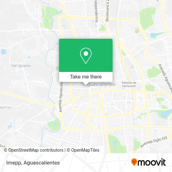
See Imepp, Aguascalientes, on the map
Public Transit to Imepp in Aguascalientes
Wondering how to get to Imepp in Aguascalientes? Moovit helps you find the best way to get to Imepp with step-by-step directions from the nearest public transit station.
Moovit provides free maps and live directions to help you navigate through your city. View schedules, routes, timetables, and find out how long does it take to get to Imepp in real time.
Looking for the nearest stop or station to Imepp? Check out this list of stops closest to your destination: Licenciado Adolfo López Mateos Poniente; Valentín Gómez Farias; Guadalupe.
Bus: RUTA 01, RUTA 04, RUTA 19, RUTA 28, RUTA 43, RUTA 48, RUTA 10, RUTA 12, RUTA 23, RUTA 24, RUTA 25, RUTA 27, RUTA 16.
Want to see if there’s another route that gets you there at an earlier time? Moovit helps you find alternative routes or times. Get directions from and directions to Imepp easily from the Moovit App or Website.
We make riding to Imepp easy, which is why over 1.5 million users, including users in Aguascalientes, trust Moovit as the best app for public transit. You don’t need to download an individual bus app or train app, Moovit is your all-in-one transit app that helps you find the best bus time or train time available.
For information on prices of bus, costs and ride fares to Imepp, please check the Moovit app.
Use the app to navigate to popular places including to the airport, hospital, stadium, grocery store, mall, coffee shop, school, college, and university.
Imepp Address: Calle Antonio Arias Bernal 123, Barrio San Marcos, 20070 Aguascalientes, Aguascalientes street in Aguascalientes
- Restaurante Casa Onca,
- Raymundo Vinos y Licores,
- Candela Bar Ags,
- Clinica de Depilación,
- Casa Arrebol,
- Arrebol Barra de Café,
- Salas Lujan Gerardo Federico Lic,
- Productos de Limpieza El Viejon,
- Restaurant Bar Posada Faroles,
- Estacionamiento Los Globos,
- Asociacion Nacional de Servicio Voluntario Ac,
- Emporio Bar,
- Iglesia Cristiana Cristo Viene,
- Salon El Patio,
- Abarrotes La Sinceridad,
- La Luz,
- Jardin San Marcosagu,
- Lechon al Horno Medina,
- Salon de Eventos Fiesta San Marcos,
- Plaza De Toros San Marcos
Places Near Imepp (Aguascalientes)
- Parque Las Tres Centurias, Aguascalientes,
- La Isla San Marcos, Aguascalientes,
- Jesús María, Aguascalientes,
- Villasuncion, Aguascalientes,
- Terminal De Combis, Aguascalientes,
- Nuevo Hospital Hidalgo, Aguascalientes,
- Isla San Marcos, Aguascalientes,
- Aeropuerto de Aguascalientes S.A. de C.V., Aguascalientes,
- Ciudad industrial, Aguascalientes,
- Universidad Autónoma de Aguascalientes, Aguascalientes,
- ESPACIOS, Aguascalientes,
- Villas de Nuestra Señora de la Asunción, Aguascalientes,
- Centro, Aguascalientes,
- Hospital Imss No. 3, Aguascalientes,
- Blvd. Luis Donaldo Colosio, Aguascalientes,
- clinica 3 uaa, Aguascalientes,
- Agropecuario, Aguascalientes,
- Central De Autobuses, Aguascalientes,
- Imss Clinica 1, Aguascalientes,
- Centro Comercial Altaria, Aguascalientes
How to get to popular places in Aguascalientes with public transit
Get around Aguascalientes by public transit!
Traveling around Aguascalientes has never been so easy. See step by step directions as you travel to any attraction, street or major public transit station. View bus and train schedules, arrival times, service alerts and detailed routes on a map, so you know exactly how to get to anywhere in Aguascalientes.
When traveling to any destination around Aguascalientes use Moovit's Live Directions with Get Off Notifications to know exactly where and how far to walk, how long to wait for your line, and how many stops are left. Moovit will alert you when it's time to get off — no need to constantly re-check whether yours is the next stop.
Wondering how to use public transit in Aguascalientes or how to pay for public transit in Aguascalientes? Moovit public transit app can help you navigate your way with public transit easily, and at minimum cost. It includes public transit fees, ticket prices, and costs. Looking for a map of Aguascalientes public transit lines? Moovit public transit app shows all public transit maps in Aguascalientes with all bus routes and stops on an interactive map.
Aguascalientes has 1 transit type(s), including: bus, operated by several transit agencies, including Coordinación General de Movilidad