Directions to Immaculate Cleaning Connection (Portland, ME) with public transportation
The following transit lines have routes that pass near Immaculate Cleaning Connection
 Bus: 4, 9A, 9B.
- Train: DOWNEASTER.
How to get to Immaculate Cleaning Connection by bus?
Click on the bus route to see step by step directions with maps, line arrival times and updated time schedules.
From Bessey Crossing, Scarborough
80 minFrom Kimberly Anne Damon, South Portland
56 minFrom South Portland High School, South Portland
49 minFrom Lisa Peter Howard, Scarborough
76 minFrom Southern Maine Orthodontics, Scarborough
76 minFrom Royal Flush, South Portland
84 minFrom Credit Union 1, Scarborough
76 minFrom Pond Cove Millwork, South Portland
77 min
Bus stops near Immaculate Cleaning Connection in Portland, ME
Train station near Immaculate Cleaning Connection in Portland, ME
- Portland Station, 64 min walk,VIEW
Bus lines to Immaculate Cleaning Connection in Portland, ME
What are the closest stations to Immaculate Cleaning Connection?
The closest stations to Immaculate Cleaning Connection are:
- Stevens Ave + Montrose St is 243 yards away, 3 min walk.
- Stevens Ave + Percival St is 348 yards away, 5 min walk.
- Rosemont Corner O/B is 701 yards away, 9 min walk.
- Portland Station is 5455 yards away, 64 min walk.
Which bus lines stop near Immaculate Cleaning Connection?
These bus lines stop near Immaculate Cleaning Connection: 4, 9A.
What’s the nearest bus station to Immaculate Cleaning Connection in Portland, ME?
The nearest bus station to Immaculate Cleaning Connection in Portland, ME is Stevens Ave + Montrose St. It’s a 3 min walk away.
What time is the first train to Immaculate Cleaning Connection in Portland, ME?
The DOWNEASTER is the first train that goes to Immaculate Cleaning Connection in Portland, ME. It stops nearby at 5:18 AM.
What time is the last train to Immaculate Cleaning Connection in Portland, ME?
The DOWNEASTER is the last train that goes to Immaculate Cleaning Connection in Portland, ME. It stops nearby at 1:00 AM.
What time is the first bus to Immaculate Cleaning Connection in Portland, ME?
The 4 is the first bus that goes to Immaculate Cleaning Connection in Portland, ME. It stops nearby at 5:23 AM.
What time is the last bus to Immaculate Cleaning Connection in Portland, ME?
The 4 is the last bus that goes to Immaculate Cleaning Connection in Portland, ME. It stops nearby at 11:30 PM.
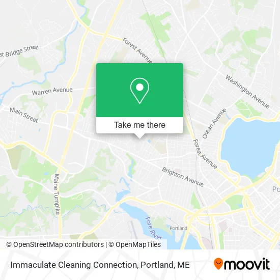
See Immaculate Cleaning Connection, Portland, ME, on the map
Public Transit to Immaculate Cleaning Connection in Portland, ME
Wondering how to get to Immaculate Cleaning Connection in Portland, ME? Moovit helps you find the best way to get to Immaculate Cleaning Connection with step-by-step directions from the nearest public transit station.
Moovit provides free maps and live directions to help you navigate through your city. View schedules, routes, timetables, and find out how long does it take to get to Immaculate Cleaning Connection in real time.
Looking for the nearest stop or station to Immaculate Cleaning Connection? Check out this list of stops closest to your destination: Stevens Ave + Montrose St; Stevens Ave + Percival St; Rosemont Corner O/B; Portland Station.
Bus: 4, 9A, 9B.Train: DOWNEASTER.
Want to see if there’s another route that gets you there at an earlier time? Moovit helps you find alternative routes or times. Get directions from and directions to Immaculate Cleaning Connection easily from the Moovit App or Website.
We make riding to Immaculate Cleaning Connection easy, which is why over 1.5 million users, including users in Portland, ME, trust Moovit as the best app for public transit. You don’t need to download an individual bus app or train app, Moovit is your all-in-one transit app that helps you find the best bus time or train time available.
For information on prices of bus and ferry, costs and ride fares to Immaculate Cleaning Connection, please check the Moovit app.
Use the app to navigate to popular places including to the airport, hospital, stadium, grocery store, mall, coffee shop, school, college, and university.
Immaculate Cleaning Connection Address: 26 Phipps Rd Portland, ME 04102 street in Portland, ME
- PC Networks Services,
- Ludlow Pond,
- Memorial Stadium,
- Shear Beauty Hair Salon,
- Deering High School Tennis Courts,
- Drew Rodney Dentistry,
- York-Cumberland Association,
- James F Flaherty do,
- Lawrence Bossong,
- A-Plus Burner Service,
- Beloved of the Oaks,
- Electrology Center of Maine,
- Northeast Electric,
- STD Testing USA,
- Jane McNally,
- Dirigo Valuation,
- Justine Lasdin,
- K'Intu Healing Arts,
- Deering Title Company,
- Dirigo Media
Places Near Immaculate Cleaning Connection (Portland, ME)
- Portland International Jetport (PWM) (Portland International Jetport),
- Cape Elizabeth, ME, Cape Elizabeth,
- Cross Insurance Arena,
- Jewell Island,
- Exit 45 Park And Ride, South Portland,
- The Old Port,
- Walmart Scarborough Supercenter,
- Southern Maine Community College, South Portland,
- Casco Bay Ferry Terminal,
- ZzZzZzZzZzZ, Westbrook,
- Mercy Hospital - Fore River Campus,
- Portland Transportation Center,
- Fort Williams Park, Cape Elizabeth,
- Fort Gorges,
- House Island,
- Clarion Hotel Portland,
- Walmart,
- On a bus to Kennebunkport,
- L. L. Bean Outlet,
- Maine Medical Center
How to get to popular places in Portland, ME with public transit
Get around Portland, ME by public transit!
Traveling around Portland, ME has never been so easy. See step by step directions as you travel to any attraction, street or major public transit station. View bus and train schedules, arrival times, service alerts and detailed routes on a map, so you know exactly how to get to anywhere in Portland, ME.
When traveling to any destination around Portland, ME use Moovit's Live Directions with Get Off Notifications to know exactly where and how far to walk, how long to wait for your line, and how many stops are left. Moovit will alert you when it's time to get off — no need to constantly re-check whether yours is the next stop.
Wondering how to use public transit in Portland, ME or how to pay for public transit in Portland, ME? Moovit public transit app can help you navigate your way with public transit easily, and at minimum cost. It includes public transit fees, ticket prices, and costs. Looking for a map of Portland, ME public transit lines? Moovit public transit app shows all public transit maps in Portland, ME with all Bus, Train and Ferry routes and stops on an interactive map.
Portland, ME has 3 transit type(s), including: Bus, Train and Ferry, operated by several transit agencies, including Greater Portland Metro, City of South Portland, Biddeford Saco Old Orchard Beach Transit, Casco Bay Lines, Amtrak, Greyhound-us and FlixBus-us