Imperial / Dunrobin stop - Saturday schedule
| Line | Direction | Time |
|---|---|---|
| 120 | Whittwood Town Center | 5:38 AM |
| 120 | Whittwood Town Center | 6:40 AM |
| 120 | Whittwood Town Center | 7:44 AM |
| 120 | Whittwood Town Center | 8:47 AM |
| 120 | Whittwood Town Center | 9:47 AM |
| 120 | Whittwood Town Center | 10:49 AM |
| 120 | Whittwood Town Center | 11:48 AM |
| 120 | Whittwood Town Center | 12:35 PM |
| 120 | Whittwood Town Center | 1:23 PM |
| 120 | Whittwood Town Center | 2:20 PM |
| 120 | Whittwood Town Center | 3:15 PM |
| 120 | Whittwood Town Center | 4:09 PM |
| 120 | Whittwood Town Center | 5:04 PM |
| 120 | Whittwood Town Center | 5:57 PM |
| 120 | Whittwood Town Center | 6:53 PM |
| 120 | Whittwood Town Center | 7:50 PM |
| 120 | Whittwood Town Center | 8:44 PM |
| 120 | Whittwood Town Center | 9:39 PM |
| 120 | Norwalk Station / C Line | 10:36 PM |
| 120 | Norwalk Station / C Line | 11:32 PM |
| 120 | Norwalk Station / C Line | 12:31 AM |
Directions to Imperial / Dunrobin stop (Downey) with public transit
The following transit lines have routes that pass near Imperial / Dunrobin
 Bus: 120, 127, 5, 1, 125.
- Subway: C LINE.
How to get to Imperial / Dunrobin stop by bus?
Click on the bus route to see step by step directions with maps, line arrival times and updated time schedules.
Bus stops near Imperial / Dunrobin stop in Downey
- Imperial / Dunrobin, 1 min walk,
- Bellflower / Imperial, 6 min walk,
- Woodruff / Imperial, 6 min walk,
Subway stations near Imperial / Dunrobin station in Downey
- Lakewood Blvd Station, 13 min walk,
Bus lines to Imperial / Dunrobin stop in Downey
- 1, Southeast Route,
- 5, South Route,
- 120, LAX/Metro TC- Whittwood CTR,
- 127, Downey Depot,
- 125, Plaza El Segundo,
What are the closest stations to Imperial / Dunrobin?
The closest stations to Imperial / Dunrobin are:
- Imperial / Dunrobin is 49 yards away, 1 min walk.
- Bellflower / Imperial is 427 yards away, 6 min walk.
- Woodruff / Imperial is 441 yards away, 6 min walk.
- Lakewood Blvd Station is 1110 yards away, 13 min walk.
Which bus lines stop near Imperial / Dunrobin?
These bus lines stop near Imperial / Dunrobin: 120, 127, 5.
What’s the nearest subway station to Imperial / Dunrobin in Downey?
The nearest subway station to Imperial / Dunrobin in Downey is Lakewood Blvd Station. It’s a 13 min walk away.
What’s the nearest bus station to Imperial / Dunrobin in Downey?
The nearest bus station to Imperial / Dunrobin in Downey is Imperial / Dunrobin. It’s a 1 min walk away.
What time is the first subway to Imperial / Dunrobin in Downey?
The C LINE is the first subway that goes to Imperial / Dunrobin in Downey. It stops nearby at 3:55 AM.
What time is the last subway to Imperial / Dunrobin in Downey?
The C LINE is the last subway that goes to Imperial / Dunrobin in Downey. It stops nearby at 12:51 AM.
What time is the first bus to Imperial / Dunrobin in Downey?
The 125 is the first bus that goes to Imperial / Dunrobin in Downey. It stops nearby at 4:21 AM.
What time is the last bus to Imperial / Dunrobin in Downey?
The 120 is the last bus that goes to Imperial / Dunrobin in Downey. It stops nearby at 12:32 AM.
Imperial / Dunrobin station
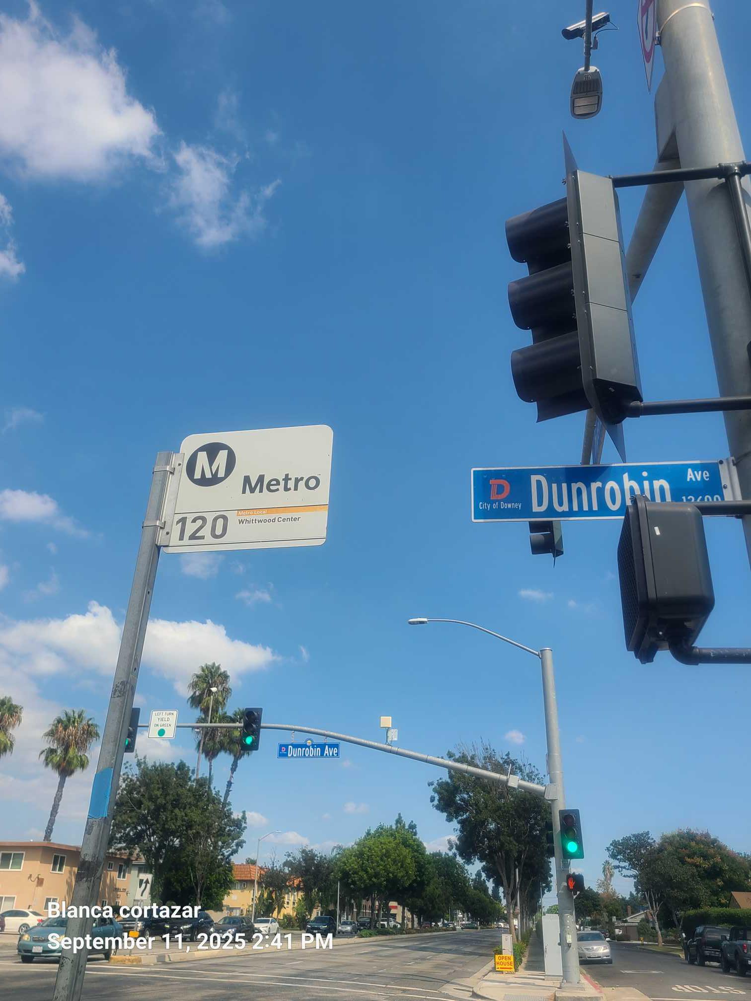 Taken by Anonymous
See Imperial / Dunrobin stop, Downey, on the map
Public transit to Imperial / Dunrobin stop (ID: 2626) in Downey
Looking for directions to Imperial / Dunrobin in Downey, United States?
Download the Moovit App to find the current schedule and step-by-step directions for Bus routes that pass through Imperial / Dunrobin.
Looking for the nearest stops closest to Imperial / Dunrobin ? Check out this list of closest stops to your destination: Imperial / Dunrobin; Bellflower / Imperial; Woodruff / Imperial; Lakewood Blvd Station.
Bus: 120, 127, 5, 1, 125.Subway: C LINE.
We make riding on public transit to Imperial / Dunrobin easy, which is why over 1.5 million users, including users in Downey trust Moovit as the best app for public transit.
Use the app to navigate to popular places including to the airport, hospital, stadium, grocery store, mall, coffee shop, school, college, and university.
Imperial / Dunrobin stop’s code is 2626
The first line to this stop is 120, at 5:38 AM, and the last line is 120 at 12:31 AM.
12603 Dunrobin Ave, Norwalk, CA, USA
This stop serves Metro’s lines
- Imperial / Dunrobin,
- Bellflower / Imperial,
- Woodruff / Imperial
Bus stops near Imperial / Dunrobin stop
- Lakewood Blvd Station
Subway station near Imperial / Dunrobin station
- 108th St & Avalon Blvd (Eastbound),
- Bouquet Canyon Rd & Soledad Canyon Rd,
- 103rd St & Central Ave (Eastbound),
- Santa Clara and Oak WB (Downtown Ventura),
- Garvey Ave. and Santa Anita Ave.,
- De Soto / Sherman Way,
- Sepulveda / G Line,
- The Shops at Santa Anita,
- Century Blvd & Yukon Ave,
- Crenshaw & 39th St,
- Rosecrans / Harbor Fwy,
- Saticoy / Canoga,
- Laurel Canyon / Paxton,
- Downtown Long Beach Station,
- Sepulveda / Rosecrans,
- Alondra / Trojan,
- Mountain Transit - Fox Farm Rd,
- Vermont Ave & Franklin Ave,
- Woodman / Roscoe,
- State & Mission
Popular public transit stations in Downey
Get around Downey by public transit!
Traveling around Downey has never been so easy. See step by step directions as you travel to any attraction, street or major public transit station. View bus and train schedules, arrival times, service alerts and detailed routes on a map, so you know exactly how to get to anywhere in Downey.
When traveling to any destination around Downey use Moovit's Live Directions with Get Off Notifications to know exactly where and how far to walk, how long to wait for your line, and how many stops are left. Moovit will alert you when it's time to get off — no need to constantly re-check whether yours is the next stop.
Wondering how to use public transit in Downey or how to pay for public transit in Downey? Moovit public transit app can help you navigate your way with public transit easily, and at minimum cost. It includes public transit fees, ticket prices, and costs. Looking for a map of Downey public transit lines? Moovit public transit app shows all public transit maps in Downey with all Bus, Train, Subway, Ferry and Funicular routes and stops on an interactive map.
Los Angeles has 5 transit type(s), including: Bus, Train, Subway, Ferry and Funicular, operated by several transit agencies, including Metro, Alhambra Community Transit, Arcadia Transit, Artesia Transit, AVTA, Baldwin Park Transit, Beach Cities Transit, Beaumont Transit, Bell Gardens Town Trolley, Bellflower Bus, Big Blue Bus, Burbank Bus, Calabasas Trolley, Camarillo Area Transit and Carson Circuit