Imperial / Freeman stop - Friday schedule
| Line | Direction | Time |
|---|---|---|
| 120 | Whittwood Town Center | 5:06 AM |
| 120 | Whittwood Town Center | 5:50 AM |
| 120 | Whittwood Town Center | 6:30 AM |
| 120 | Whittwood Town Center | 7:05 AM |
| 120 | Whittwood Town Center | 7:42 AM |
| 120 | Whittwood Town Center | 8:25 AM |
| 120 | Whittwood Town Center | 9:05 AM |
| 120 | Whittwood Town Center | 9:44 AM |
| 120 | Whittwood Town Center | 10:25 AM |
| 120 | Whittwood Town Center | 11:06 AM |
| 120 | Whittwood Town Center | 11:48 AM |
| 120 | Whittwood Town Center | 12:31 PM |
| 120 | Whittwood Town Center | 1:10 PM |
| 120 | Whittwood Town Center | 1:54 PM |
| 120 | Whittwood Town Center | 2:35 PM |
| 120 | Whittwood Town Center | 3:20 PM |
| 120 | Whittwood Town Center | 4:06 PM |
| 120 | Whittwood Town Center | 4:53 PM |
| 120 | Whittwood Town Center | 5:40 PM |
| 120 | Whittwood Town Center | 6:34 PM |
| 120 | Whittwood Town Center | 7:33 PM |
| 120 | Whittwood Town Center | 8:34 PM |
| 120 | Norwalk Station / C Line | 9:36 PM |
| 120 | Norwalk Station / C Line | 10:34 PM |
| 120 | Norwalk Station / C Line | 11:34 PM |
Directions to Imperial / Freeman stop (Hawthorne) with public transit
The following transit lines have routes that pass near Imperial / Freeman
 Bus: 10, 120, 212, 40, 211/215.
- Subway: C LINE, K LINE.
How to get to Imperial / Freeman stop by bus?
Click on the bus route to see step by step directions with maps, line arrival times and updated time schedules.
How to get to Imperial / Freeman stop by subway?
Click on the subway route to see step by step directions with maps, line arrival times and updated time schedules.
Bus stops near Imperial / Freeman stop in Hawthorne
- Imperial / Freeman, 1 min walk,
- Hawthorne / Imperial, 6 min walk,
- Prairie / Imperial, 6 min walk,
- Imperial Hwy at Prairie Av, 6 min walk,
- Hawthorne / Lennox Station, 9 min walk,
- 111th St & Freeman Ave, 15 min walk,
Subway stations near Imperial / Freeman station in Hawthorne
- Crenshaw Station, 31 min walk,
- Aviation / Century Station, 54 min walk,
Bus lines to Imperial / Freeman stop in Hawthorne
- 120, Whittwood Town Center,
- 212, Hollywood - Highland Station,
- 40, LAX / Metro Transit Center,
- 211/215, Inglewood,
- 10, Downtown Inglewood Station,
- 7X, Stadium Express Sunday Service,
- THE LINK - LENNOX, Loop,
What are the closest stations to Imperial / Freeman?
The closest stations to Imperial / Freeman are:
- Imperial / Freeman stop is 70 yards away, 1 min walk.
- Hawthorne / Imperial stop is 459 yards away, 6 min walk.
- Prairie / Imperial stop is 459 yards away, 6 min walk.
- Imperial Hwy at Prairie Av stop is 489 yards away, 6 min walk.
- Hawthorne / Lennox Station is 733 yards away, 9 min walk.
- 111th St & Freeman Ave stop is 1242 yards away, 15 min walk.
- Crenshaw Station is 2652 yards away, 31 min walk.
- Aviation / Century Station is 4640 yards away, 54 min walk.
Which bus lines stop near Imperial / Freeman?
These bus lines stop near Imperial / Freeman: 10, 120, 212.
Which subway line stops near Imperial / Freeman?
C LINE (Westbound to LAX / Metro Transit Center)
What’s the nearest bus station to Imperial / Freeman in Hawthorne?
The nearest bus station to Imperial / Freeman in Hawthorne is Imperial / Freeman. It’s a 1 min walk away.
What time is the first subway to Imperial / Freeman in Hawthorne?
The C LINE is the first subway that goes to Imperial / Freeman in Hawthorne. It stops nearby at 3:47 AM.
What time is the last subway to Imperial / Freeman in Hawthorne?
The C LINE is the last subway that goes to Imperial / Freeman in Hawthorne. It stops nearby at 12:47 AM.
What time is the first bus to Imperial / Freeman in Hawthorne?
The 40 is the first bus that goes to Imperial / Freeman in Hawthorne. It stops nearby at 3:02 AM.
What time is the last bus to Imperial / Freeman in Hawthorne?
The 40 is the last bus that goes to Imperial / Freeman in Hawthorne. It stops nearby at 3:02 AM.
Imperial / Freeman station
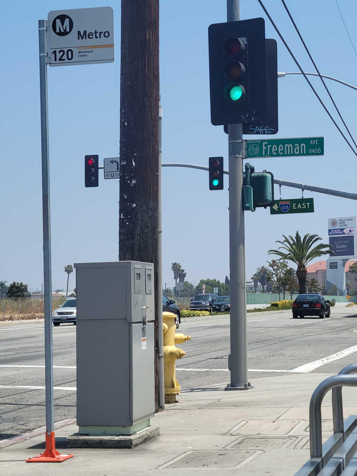 Taken by Ever D.
See Imperial / Freeman stop, Hawthorne, on the map
Public transit to Imperial / Freeman stop (ID: 7718) in Hawthorne
Looking for directions to Imperial / Freeman in Hawthorne, United States?
Download the Moovit App to find the current schedule and step-by-step directions for Bus or Subway routes that pass through Imperial / Freeman.
Looking for the nearest stops closest to Imperial / Freeman ? Check out this list of closest stops to your destination: Imperial / Freeman; Hawthorne / Imperial; Prairie / Imperial; Imperial Hwy at Prairie Av; Hawthorne / Lennox Station; 111th St & Freeman Ave; Crenshaw Station; Aviation / Century Station.
Bus: 10, 120, 212, 40, 211/215.Subway: C LINE, K LINE.
We make riding on public transit to Imperial / Freeman easy, which is why over 1.7 billion users, including users in Hawthorne trust Moovit as the best app for public transit.
Use the app to navigate to popular places including to the airport, hospital, stadium, grocery store, mall, coffee shop, school, college, and university.
Imperial / Freeman stop’s code is 7718
The first line to this stop is 120, at 5:06 AM, and the last line is 120 at 11:34 PM.
4200 W Imperial Hwy, Hawthorne, CA, USA
This stop serves Metro’s lines
- Imperial / Freeman,
- Hawthorne / Imperial,
- Prairie / Imperial,
- Imperial Hwy at Prairie Av,
- Hawthorne / Lennox Station,
- 111th St & Freeman Ave
Bus stops near Imperial / Freeman stop
- Crenshaw Station,
- Aviation / Century Station
Subway stations near Imperial / Freeman station
- Arleta / Van Nuys,
- Willow & Long Beach Blvd SE,
- Arroyo Burro Beach Park,
- Santa Monica / Westwood,
- Balboa Blvd. & Chatsworth St.,
- Saticoy / Mason,
- 108th St & Avalon Blvd (Eastbound),
- Arcadia Station (A Line),
- Soto / 8th,
- Franklin & Bronson Ave.,
- Southwest Museum Station,
- Woodman / Roscoe,
- Del Amo / Avalon,
- Cahuenga / Woodrow Wilson,
- San Fernando at Colorado,
- Main St & Manchester Ave (Northbound),
- Vermont / Hollywood,
- Wilshire / Normandie Station,
- Pacific Coast Hwy & Vermont Ave (Eastbound),
- 6th / Flower
Popular public transit stations in Hawthorne
Get around Hawthorne by public transit!
Traveling around Hawthorne has never been so easy. See step by step directions as you travel to any attraction, street or major public transit station. View bus and train schedules, arrival times, service alerts and detailed routes on a map, so you know exactly how to get to anywhere in Hawthorne.
When traveling to any destination around Hawthorne use Moovit's Live Directions with Get Off Notifications to know exactly where and how far to walk, how long to wait for your line, and how many stops are left. Moovit will alert you when it's time to get off — no need to constantly re-check whether yours is the next stop.
Wondering how to use public transit in Hawthorne or how to pay for public transit in Hawthorne? Moovit public transit app can help you navigate your way with public transit easily, and at minimum cost. It includes public transit fees, ticket prices, and costs. Looking for a map of Hawthorne public transit lines? Moovit public transit app shows all public transit maps in Hawthorne with all Bus, Train, Subway, Ferry and Funicular routes and stops on an interactive map.
Los Angeles has 5 transit type(s), including: Bus, Train, Subway, Ferry and Funicular, operated by several transit agencies, including Metro, Metro Event Service, Alhambra Community Transit (ACT), Arcadia Transit, Artesia Transit, AVTA, Baldwin Park Transit, Beach Cities Transit, Beaumont Transit, Bell Gardens Town Trolley, Bellflower Bus, Big Blue Bus, Burbank Bus, Calabasas Trolley and Camarillo Area Transit