How to get to In 2nd Adjutancy by bus?
Click on the bus route to see step by step directions with maps, line arrival times and updated time schedules.
From Sturbaum Karl R, Indianapolis City (Balance)
38 minFrom Shadeland Ave & 82nd St, Indianapolis City (Balance)
44 minFrom Target (Target Store Nora-Plaza), Indianapolis City (Balance)
64 minFrom Dalpon Lawncare, Indianapolis City (Balance)
75 minFrom Murat Theater At Old National Center, Indianapolis City (Balance)
37 minFrom Dawes Fretzin Dermatology Group, Indianapolis City (Balance)
38 minFrom The Sanctuary Church, Indianapolis City (Balance)
33 minFrom Indiana University Natatorium, Indianapolis City (Balance)
56 minFrom Keystone At The Crossing, Indianapolis City (Balance)
51 minFrom Entrance I-65 N, Indianapolis City (Balance)
40 min
Bus stops near In 2nd Adjutancy in Indianapolis City (Balance)
Bus lines to In 2nd Adjutancy in Indianapolis City (Balance)
What are the closest stations to In 2nd Adjutancy?
The closest stations to In 2nd Adjutancy are:
- Meadows Dr & Edgemere Ct is 316 yards away, 5 min walk.
- 38th & Sherman Station Wb is 809 yards away, 10 min walk.
- Sherman Dr & 38th St is 855 yards away, 10 min walk.
Which bus lines stop near In 2nd Adjutancy?
These bus lines stop near In 2nd Adjutancy: 4, 5, 92.
What’s the nearest bus station to In 2nd Adjutancy in Indianapolis City (Balance)?
The nearest bus station to In 2nd Adjutancy in Indianapolis City (Balance) is Meadows Dr & Edgemere Ct. It’s a 5 min walk away.
What time is the first bus to In 2nd Adjutancy in Indianapolis City (Balance)?
The 92 is the first bus that goes to In 2nd Adjutancy in Indianapolis City (Balance). It stops nearby at 4:33 AM.
What time is the last bus to In 2nd Adjutancy in Indianapolis City (Balance)?
The 92 is the last bus that goes to In 2nd Adjutancy in Indianapolis City (Balance). It stops nearby at 12:44 AM.
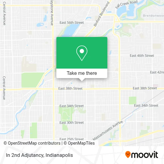
See In 2nd Adjutancy, Indianapolis City (Balance), on the map
Public Transit to In 2nd Adjutancy in Indianapolis City (Balance)
Wondering how to get to In 2nd Adjutancy in Indianapolis City (Balance)? Moovit helps you find the best way to get to In 2nd Adjutancy with step-by-step directions from the nearest public transit station.
Moovit provides free maps and live directions to help you navigate through your city. View schedules, routes, timetables, and find out how long does it take to get to In 2nd Adjutancy in real time.
Looking for the nearest stop or station to In 2nd Adjutancy? Check out this list of stops closest to your destination: Meadows Dr & Edgemere Ct; 38th & Sherman Station Wb; Sherman Dr & 38th St.
Bus: 4, 5, 92.
Want to see if there’s another route that gets you there at an earlier time? Moovit helps you find alternative routes or times. Get directions from and directions to In 2nd Adjutancy easily from the Moovit App or Website.
We make riding to In 2nd Adjutancy easy, which is why over 1.5 million users, including users in Indianapolis City (Balance), trust Moovit as the best app for public transit. You don’t need to download an individual bus app or train app, Moovit is your all-in-one transit app that helps you find the best bus time or train time available.
For information on prices of bus, costs and ride fares to In 2nd Adjutancy, please check the Moovit app.
Use the app to navigate to popular places including to the airport, hospital, stadium, grocery store, mall, coffee shop, school, college, and university.
In 2nd Adjutancy Address: 3516 E 39th St street in Indianapolis City (Balance)
- The Villages at Mill Crossing,
- African Revival Radio,
- TCB Company,
- Tindley Prep Academy,
- The Genius School,
- Geo Next Generation High School - Indianapolis,
- Geo Next Generation Academy Indianapolis,
- Forest Manor Community Health Center,
- Indy Steam Academy,
- Clowes Memorial Hall,
- Western Union,
- Villages at Mill Crossing,
- E 38th St / N Gale St,
- Tokyo Locksmith,
- Sherman Steak And Lemonade,
- Coinsource,
- Northside Tax Refund,
- Metro by T-Mobile,
- Hair Mechanx,
- Elevated Customs Graphic Apparel & Printing
Places Near In 2nd Adjutancy (Indianapolis City (Balance))
- Eskenazi Hospital, Indianapolis City (Balance),
- St. Vincent Hospital - Indianapolis, Indianapolis City (Balance),
- I-465 / I-65 Interchange, Indianapolis City (Balance),
- Gainbridge Fieldhouse, Indianapolis City (Balance),
- Indiana Convention Center, Indianapolis City (Balance),
- Indiana, Indianapolis City (Balance),
- Jersey Barn, Indianapolis City (Balance),
- Train Ride At Castleton Mall, Indianapolis City (Balance),
- Lilly Corporate Center (Eli Lilly & Co), Indianapolis City (Balance),
- Castleton Square Mall, Indianapolis,
- Cotter's Massage Parlor With Happy Endings, Indianapolis City (Balance),
- 119 W 19th St Parking, Indianapolis City (Balance),
- Methodist Hospital of Indianapolis, Indianapolis City (Balance),
- Indianapolis Motor Speedway, Speedway,
- St. Vincent entrance #1, Indianapolis City (Balance),
- Plainfield, IN, Plainfield,
- Indianapolis Airport Zone 2, Indianapolis City (Balance),
- THE BALT, Indianapolis City (Balance),
- Lucas Oil Stadium, Indianapolis City (Balance),
- I U Health Methodist Hospital, Indianapolis City (Balance)
How to get to popular places in Indianapolis with public transit
Get around Indianapolis City (Balance) by public transit!
Traveling around Indianapolis City (Balance) has never been so easy. See step by step directions as you travel to any attraction, street or major public transit station. View bus and train schedules, arrival times, service alerts and detailed routes on a map, so you know exactly how to get to anywhere in Indianapolis City (Balance).
When traveling to any destination around Indianapolis City (Balance) use Moovit's Live Directions with Get Off Notifications to know exactly where and how far to walk, how long to wait for your line, and how many stops are left. Moovit will alert you when it's time to get off — no need to constantly re-check whether yours is the next stop.
Wondering how to use public transit in Indianapolis City (Balance) or how to pay for public transit in Indianapolis City (Balance)? Moovit public transit app can help you navigate your way with public transit easily, and at minimum cost. It includes public transit fees, ticket prices, and costs. Looking for a map of Indianapolis City (Balance) public transit lines? Moovit public transit app shows all public transit maps in Indianapolis City (Balance) with all bus routes and stops on an interactive map.
Indianapolis has 1 transit type(s), including: bus, operated by several transit agencies, including IndyGo, FlixBus-us and Greyhound-us