Directions to In-Side Allentown with public transportation
The following transit lines have routes that pass near In-Side Allentown
 Bus: FLIXBUS 2651, FLIXBUS N2640.
How to get to In-Side Allentown by bus?
Click on the bus route to see step by step directions with maps, line arrival times and updated time schedules.
Which bus lines stop near In-Side Allentown?
These bus lines stop near In-Side Allentown: FLIXBUS 2651, FLIXBUS N2640.
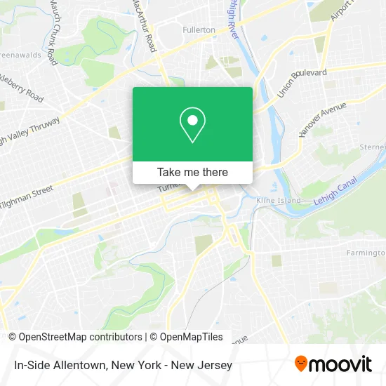
See In-Side Allentown on the map
Public Transportation to In-Side Allentown
Wondering how to get to In-Side Allentown? Moovit helps you find the best way to get to In-Side Allentown with step-by-step directions from the nearest public transit station.
Moovit provides free maps and live directions to help you navigate through your city. View schedules, routes, timetables, and find out how long does it take to get to In-Side Allentown in real time.
Bus: FLIXBUS 2651, FLIXBUS N2640.
Want to see if there’s another route that gets you there at an earlier time? Moovit helps you find alternative routes or times. Get directions from and directions to In-Side Allentown easily from the Moovit App or Website.
We make riding to In-Side Allentown easy, which is why over 1.5 million users, including users in Allentown, trust Moovit as the best app for public transit. You don’t need to download an individual bus app or train app, Moovit is your all-in-one transit app that helps you find the best bus time or train time available.
For information on prices of bus and train, costs and ride fares to In-Side Allentown, please check the Moovit app.
Use the app to navigate to popular places including to the airport, hospital, stadium, grocery store, mall, coffee shop, school, college, and university.
In-Side Allentown Address: 840 Hamilton St street in Allentown
- Dlp Real Estate Management,
- Bb&T,
- White Fox Homes,
- Dlp Real Estate Capital,
- Millersearles Llc,
- Alvin H. Butz, Inc.,
- Bowman,
- Greater Northern Lehigh Chamber Of Commerce,
- Cityline Construction Fire and Water,
- Women's Business Council Lehigh Valley,
- Western Union,
- Rkl Llp - Allentown,
- Alvin H. Butz Offices,
- Tiki Bowls Allentown,
- Cindy Miles Adaptive Fund,
- Lehigh Valley Arts & Cultural Alliance,
- The Hamilton at Grand Plaza,
- Sunlife Insurance Services,
- Da Vinci Science Center at PPL Pavilion,
- Delta Flights - Tickets Booking
Places Near In-Side Allentown
- Wall Street, Manhattan,
- Mountainside Hospital, Glen Ridge,
- 111 Centre New York City Supreme Court, Manhattan,
- 911 Memorial, Manhattan,
- San Gennaro Feast, Manhattan,
- qqqq, Manhattan,
- 1 Police Plaza, Manhattan,
- 3 Stone St, Manhattan,
- Rockefeller Center, Manhattan,
- 376 Hudson Street, Manhattan,
- SoHo, Manhattan,
- Queens Center Mall, Queens,
- Bellevue Hospital, Manhattan,
- Katz's Deli, Manhattan,
- Times Square, Manhattan,
- 26 Federal Plaza, Manhattan,
- Chinatown, Manhattan,
- Hudson Yards, Manhattan,
- Pier 83, Manhattan,
- 66 John Street, Manhattan
How to get to popular places in New York - New Jersey with public transit
Get around Allentown by public transit!
Traveling around Allentown has never been so easy. See step by step directions as you travel to any attraction, street or major public transit station. View bus and train schedules, arrival times, service alerts and detailed routes on a map, so you know exactly how to get to anywhere in Allentown.
When traveling to any destination around Allentown use Moovit's Live Directions with Get Off Notifications to know exactly where and how far to walk, how long to wait for your line, and how many stops are left. Moovit will alert you when it's time to get off — no need to constantly re-check whether yours is the next stop.
Wondering how to use public transit in Allentown or how to pay for public transit in Allentown? Moovit public transit app can help you navigate your way with public transit easily, and at minimum cost. It includes public transit fees, ticket prices, and costs. Looking for a map of Allentown public transit lines? Moovit public transit app shows all public transit maps in Allentown with all Bus, Train, Subway, Light Rail, Ferry and Cable Car routes and stops on an interactive map.
New York - New Jersey has 6 transit type(s), including: Bus, Train, Subway, Light Rail, Ferry and Cable Car, operated by several transit agencies, including MTA Subway, Metro-North Railroad, LIRR, PATH, MTA New York City Transit - Express routes, MTA Bus, NJ Transit, NYC Ferry, NICE bus, Bee-Line Bus, NJ Transit Rail, Norwalk Transit District, Hartford Line, River Valley Transit and HART