How to get to Inauma by bus?
Click on the bus route to see step by step directions with maps, line arrival times and updated time schedules.
From Parada de Alsa En La T4, Madrid
42 minFrom Centro Comercial Parque Corredor, Torrejón De Ardoz
29 minFrom Iberia La Muñoza, Madrid
72 minFrom Autovía A-1 (Madrid-Burgos) km 24, San Sebastián De Los Reyes
98 minFrom Hospital De Torrejon De Ardoz, Torrejón De Ardoz
55 minFrom Aeropuerto de Barajas, Madrid
47 minFrom Puerta del Sol, Madrid
38 minFrom T2 - Aeropuerto Madrid-Barajas, Madrid
61 minFrom Terminal 2, Madrid
51 minFrom Recinto Ferial Torrejón de Ardoz, Torrejón De Ardoz
56 min
Bus stop near Inauma in Ajalvir
- Ctra. Daganzo - Ctra. Cobeña, 9 min walk,VIEW
Bus lines to Inauma in Ajalvir
- 215, Torrejón de Ardoz - Paracuellos de Jarama,VIEW
- 251, Torrejón - Valdeavero - Alcalá,VIEW
- 252, Torrejón - Daganzo - Alcalá,VIEW
- 254, Valdeolmos/Fuente El Saz - Alcalá de Henares,VIEW
- 256, Madrid (Canillejas) - Daganzo - Valdeavero,VIEW
- FS2, Torrelaguna - Alcalá de Henares,VIEW
- N204, Madrid (Canillejas) - Paracuellos - Daganzo,VIEW
What are the closest stations to Inauma?
The closest stations to Inauma are:
- Ctra. Daganzo - Ctra. Cobeña is 650 meters away, 9 min walk.
Which bus lines stop near Inauma?
These bus lines stop near Inauma: 215, 251, 252, 254, 256.
What’s the nearest bus station to Inauma in Ajalvir?
The nearest bus station to Inauma in Ajalvir is Ctra. Daganzo - Ctra. Cobeña. It’s a 9 min walk away.
What time is the first bus to Inauma in Ajalvir?
The N204 is the first bus that goes to Inauma in Ajalvir. It stops nearby at 4:29 AM.
What time is the last bus to Inauma in Ajalvir?
The N204 is the last bus that goes to Inauma in Ajalvir. It stops nearby at 2:46 AM.
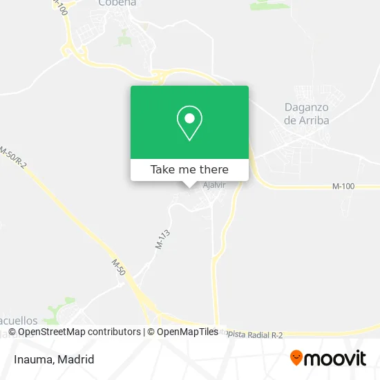
See Inauma, Ajalvir, on the map
Public Transit to Inauma in Ajalvir
Wondering how to get to Inauma in Ajalvir? Moovit helps you find the best way to get to Inauma with step-by-step directions from the nearest public transit station.
Moovit provides free maps and live directions to help you navigate through your city. View schedules, routes, timetables, and find out how long does it take to get to Inauma in real time.
Looking for the nearest stop or station to Inauma? Check out this list of stops closest to your destination: Ctra. Daganzo - Ctra. Cobeña.
Bus: 215, 251, 252, 254, 256.
Want to see if there’s another route that gets you there at an earlier time? Moovit helps you find alternative routes or times. Get directions from and directions to Inauma easily from the Moovit App or Website.
We make riding to Inauma easy, which is why over 1.5 million users, including users in Ajalvir, trust Moovit as the best app for public transit. You don’t need to download an individual bus app or train app, Moovit is your all-in-one transit app that helps you find the best bus time or train time available.
For information on prices of bus and metro, costs and ride fares to Inauma, please check the Moovit app.
Use the app to navigate to popular places including to the airport, hospital, stadium, grocery store, mall, coffee shop, school, college, and university.
Inauma Address: Calle Calvario, 22 28864 Ajalvir street in Ajalvir
- F2elevacion S.L,
- Polígono Industrial El Calvario,
- Punto Limpio De Ajalvir,
- Comercial Humanes de Tapicería,
- Ermita De La Soledad,
- Excolevante,
- Csr Performance,
- Castillo Bar Restaurante,
- Carretera de Cobeña 27,
- Juan Luis Garcia Calatrava,
- Remar EspaÑa,
- Tsi Ingenieria De Imagen S.a.,
- Laboratorios Normon S. A.,
- Subdermo Tatoo Studio,
- 28864,
- Centro De Innovación Tecnológica,
- Calle San Sebastián,
- Polígono Industrial Ajalvir 2000,
- Calle de las Eras, 15,
- Carmen Rodríguez Zurita
Places Near Inauma (Ajalvir)
- Palacio De Vistalegre, Área Metropolitana De Madrid Y Corredor Del Henares,
- Tres Aguas, Alcorcón,
- Calle de López de Hoyos 169, Madrid,
- Centro Comercial La Vaguada, Área Metropolitana De Madrid Y Corredor Del Henares,
- Wizink Center, Madrid,
- Estacion de Chamartin, Madrid,
- Centro Comercial La Gavia, Área Metropolitana De Madrid Y Corredor Del Henares,
- Mendez Alvaro, Madrid,
- Rastro De Madrid, Área Metropolitana De Madrid Y Corredor Del Henares,
- Centro Comercial Islazul, Área Metropolitana De Madrid Y Corredor Del Henares,
- Hospital Universitario Ramón y Cajal, Madrid,
- Centro Comercial Oasiz Madrid, Área Metropolitana De Madrid Y Corredor Del Henares,
- Hospital Universitario La Paz, Madrid,
- Plenilunio, Área Metropolitana De Madrid Y Corredor Del Henares,
- Sala La Riviera, Madrid,
- Mercadillo de Majadahonda, Majadahonda,
- Plaza Mayor, Madrid,
- Estadio Wanda Metropolitano, Área Metropolitana De Madrid Y Corredor Del Henares,
- Hospital Clínico Universitario San Carlos, Madrid,
- Nassica, Área Metropolitana De Madrid Y Corredor Del Henares
How to get to popular places in Madrid with public transit
Get around Ajalvir by public transit!
Traveling around Ajalvir has never been so easy. See step by step directions as you travel to any attraction, street or major public transit station. View bus and train schedules, arrival times, service alerts and detailed routes on a map, so you know exactly how to get to anywhere in Ajalvir.
When traveling to any destination around Ajalvir use Moovit's Live Directions with Get Off Notifications to know exactly where and how far to walk, how long to wait for your line, and how many stops are left. Moovit will alert you when it's time to get off — no need to constantly re-check whether yours is the next stop.
Wondering how to use public transit in Ajalvir or how to pay for public transit in Ajalvir? Moovit public transit app can help you navigate your way with public transit easily, and at minimum cost. It includes public transit fees, ticket prices, and costs. Looking for a map of Ajalvir public transit lines? Moovit public transit app shows all public transit maps in Ajalvir with all Bus, Train, Metro and Light Rail routes and stops on an interactive map.
Madrid has 4 transit type(s), including: Bus, Train, Metro and Light Rail, operated by several transit agencies, including Metro de Madrid, Metro Ligero, Tranvía de Parla, Renfe Cercanías - Servicios de Autobús especiales, Renfe Cercanias, Renfe Cercanías, EMT, Interurbanos, Urbanos de Alcalá de Henares, Urbanos de Alcobendas, Urbanos de Alcorcón, Urbanos de Algete, Urbanos de Aranjuez, Urbanos de Arganda del Rey and Urbanos de Arroyomolinos