How to get to Independent Operators by bus?
Click on the bus route to see step by step directions with maps, line arrival times and updated time schedules.
From Riderwood Senior Living Community, Montgomery County
43 minFrom The Catholic University of America (CUA), Washington
65 minFrom Embassy Of Ethiopia, Washington
53 minFrom IKEA, Prince George's County
65 minFrom Barnes & Noble, Washington
62 minFrom Tenleytown, Washington
53 minFrom Rock Creek Park, Washington
40 minFrom William Hg Fitzgerald Tennis Center, Washington
41 minFrom Basilica of the National Shrine of the Immaculate Conception, Washington
73 minFrom Rock Creek Park, Washington
50 min
How to get to Independent Operators by metro?
Click on the metro route to see step by step directions with maps, line arrival times and updated time schedules.
Bus stop near Independent Operators in Montgomery County
- W University Bv & Brunett Av, 2 min walk,VIEW
Metro station near Independent Operators in Montgomery County
- Wheaton Metro Station, 27 min walk,VIEW
Train station near Independent Operators in Montgomery County
- Silver Spring Marc Wb, 32 min walk,VIEW
Bus lines to Independent Operators in Montgomery County
What are the closest stations to Independent Operators?
The closest stations to Independent Operators are:
- W University Bv & Brunett Av is 96 yards away, 2 min walk.
- Wheaton Metro Station is 2285 yards away, 27 min walk.
- Silver Spring Marc Wb is 2704 yards away, 32 min walk.
Which bus lines stop near Independent Operators?
These bus lines stop near Independent Operators: 9, M12, M52.
Which metro line stops near Independent Operators?
RED (Glenmont)
What’s the nearest metro station to Independent Operators in Montgomery County?
The nearest metro station to Independent Operators in Montgomery County is Wheaton Metro Station. It’s a 27 min walk away.
What’s the nearest bus station to Independent Operators in Montgomery County?
The nearest bus station to Independent Operators in Montgomery County is W University Bv & Brunett Av. It’s a 2 min walk away.
What time is the first metro to Independent Operators in Montgomery County?
The RED is the first metro that goes to Independent Operators in Montgomery County. It stops nearby at 5:04 AM.
What time is the last metro to Independent Operators in Montgomery County?
The RED is the last metro that goes to Independent Operators in Montgomery County. It stops nearby at 12:34 AM.
What time is the first train to Independent Operators in Montgomery County?
The MARC is the first train that goes to Independent Operators in Montgomery County. It stops nearby at 5:51 AM.
What time is the last train to Independent Operators in Montgomery County?
The MARC is the last train that goes to Independent Operators in Montgomery County. It stops nearby at 7:37 PM.
What time is the first bus to Independent Operators in Montgomery County?
The M12 is the first bus that goes to Independent Operators in Montgomery County. It stops nearby at 4:39 AM.
What time is the last bus to Independent Operators in Montgomery County?
The M12 is the last bus that goes to Independent Operators in Montgomery County. It stops nearby at 2:26 AM.
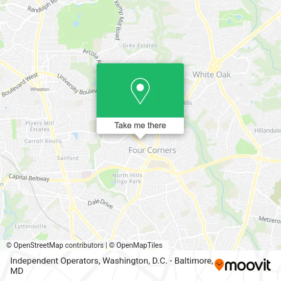
See Independent Operators, Montgomery County, on the map
Public Transit to Independent Operators in Montgomery County
Wondering how to get to Independent Operators in Montgomery County? Moovit helps you find the best way to get to Independent Operators with step-by-step directions from the nearest public transit station.
Moovit provides free maps and live directions to help you navigate through your city. View schedules, routes, timetables, and find out how long does it take to get to Independent Operators in real time.
Looking for the nearest stop or station to Independent Operators? Check out this list of stops closest to your destination: W University Bv & Brunett Av; Wheaton Metro Station; Silver Spring Marc Wb.
Bus: 9, M12, M52, 19.Train: MARC.Metro: RED.
Want to see if there’s another route that gets you there at an earlier time? Moovit helps you find alternative routes or times. Get directions from and directions to Independent Operators easily from the Moovit App or Website.
We make riding to Independent Operators easy, which is why over 1.5 million users, including users in Montgomery County, trust Moovit as the best app for public transit. You don’t need to download an individual bus app or train app, Moovit is your all-in-one transit app that helps you find the best bus time or train time available.
For information on prices of bus and metro, costs and ride fares to Independent Operators, please check the Moovit app.
Use the app to navigate to popular places including to the airport, hospital, stadium, grocery store, mall, coffee shop, school, college, and university.
Independent Operators Address: 315 University Blvd W Silver Spring, MD 20901 street in Montgomery County
- Dubon S Renovation,
- Dad of the Roads,
- Myosenji Buddhist Temple,
- Ice Maker Repair Appliance Service,
- Itax 1040,
- The American Heart Association,
- Dr. Holly Beck,
- Splash & Wash Mobile Detailing,
- Jaymens Junk Removal,
- EVgo,
- Baskin-Robbins,
- Mount Jezreel Baptist Church,
- WS Cleaners (W S Cleaners),
- Safeway Pharmacy,
- bp,
- Freshgreekgrill,
- City Locksmith Near Me,
- Skyward Travel,
- P.O.M. Squad,
- Pizza Hut
Places Near Independent Operators (Montgomery County)
- Rock Creek Tennis Center, Washington,
- PG Mall, Prince George's County,
- Warner Theatre, Washington,
- National Zoo, Washington,
- Museum Of The Bible, Washington,
- Washington DC VA Medical Center, Washington,
- Marriott Marquis Washington, DC, Washington,
- Georgetown, Washington,
- Westfield Montgomery Mall, Montgomery County,
- Sibley Memorial Hospital, Washington,
- M&T Bank Stadium, Baltimore,
- Capital One Arena, Washington,
- National Museum of African American History and Culture, Washington,
- Camden Yards, Baltimore,
- Amazon Hq2, Arlington County,
- Basilica of the National Shrine, Washington,
- The Anthem, Washington,
- Washington National Cathedral, Washington,
- National Theatre, Washington,
- Pennsylvania Ave NW (3rd st and pennsylvania), Washington
How to get to popular places in Washington, D.C. - Baltimore, MD with public transit
Get around Montgomery County by public transit!
Traveling around Montgomery County has never been so easy. See step by step directions as you travel to any attraction, street or major public transit station. View bus and train schedules, arrival times, service alerts and detailed routes on a map, so you know exactly how to get to anywhere in Montgomery County.
When traveling to any destination around Montgomery County use Moovit's Live Directions with Get Off Notifications to know exactly where and how far to walk, how long to wait for your line, and how many stops are left. Moovit will alert you when it's time to get off — no need to constantly re-check whether yours is the next stop.
Wondering how to use public transit in Montgomery County or how to pay for public transit in Montgomery County? Moovit public transit app can help you navigate your way with public transit easily, and at minimum cost. It includes public transit fees, ticket prices, and costs. Looking for a map of Montgomery County public transit lines? Moovit public transit app shows all public transit maps in Montgomery County with all Bus, Train, Metro, Light Rail and Ferry routes and stops on an interactive map.
Washington, D.C. - Baltimore, MD has 5 transit type(s), including: Bus, Train, Metro, Light Rail and Ferry, operated by several transit agencies, including WMATA, Montgomery County Ride On, Fairfax Connector, TheBus, PRTC, DASH - Alexandria, Arlington Transit (ART), RTA of Central Maryland, MDOT MTA, MDOT MTA Light RailLink, MDOT MTA Commuter Bus, MDOT MTA Local Bus, FXBGO!, Virginia Railway Express (VRE) and MARC