How to get to Independent Operators by bus?
Click on the bus route to see step by step directions with maps, line arrival times and updated time schedules.
From Walmart Supercenter, Montgomery County
45 minFrom Germantown, Maryland, Montgomery County
47 minFrom Canopy By Hilton Washington DC Bethesda North North Bethesda, Montgomery County
71 minFrom Westfield Montgomery Mall, Montgomery County
71 minFrom HJF, Montgomery County
63 minFrom Bullis School, Montgomery County
51 minFrom Pike & Rose (Pike and Rose), Montgomery County
68 minFrom Montgomery College-Rockville, Montgomery County
46 minFrom Park Potomac Place, Montgomery County
56 minFrom Montgomery Village, Maryland, Montgomery County
50 min
Bus stops near Independent Operators in Montgomery County
Train station near Independent Operators in Montgomery County
- Metropolitan Grove Marc Eb, 56 min walk,VIEW
Bus lines to Independent Operators in Montgomery County
What are the closest stations to Independent Operators?
The closest stations to Independent Operators are:
- Edison Park Dr & @100 is 570 yards away, 7 min walk.
- Kentlands Blvd & Main St is 926 yards away, 12 min walk.
- Metropolitan Grove Marc Eb is 4753 yards away, 56 min walk.
Which bus lines stop near Independent Operators?
These bus lines stop near Independent Operators: 56, 74.
What’s the nearest bus station to Independent Operators in Montgomery County?
The nearest bus station to Independent Operators in Montgomery County is Edison Park Dr & @100. It’s a 7 min walk away.
What time is the first train to Independent Operators in Montgomery County?
The MARC is the first train that goes to Independent Operators in Montgomery County. It stops nearby at 5:27 AM.
What time is the last train to Independent Operators in Montgomery County?
The MARC is the last train that goes to Independent Operators in Montgomery County. It stops nearby at 8:00 PM.
What time is the first bus to Independent Operators in Montgomery County?
The 56 is the first bus that goes to Independent Operators in Montgomery County. It stops nearby at 4:58 AM.
What time is the last bus to Independent Operators in Montgomery County?
The 56 is the last bus that goes to Independent Operators in Montgomery County. It stops nearby at 10:23 PM.
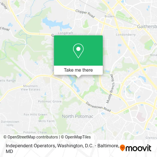
See Independent Operators, Montgomery County, on the map
Public Transit to Independent Operators in Montgomery County
Wondering how to get to Independent Operators in Montgomery County? Moovit helps you find the best way to get to Independent Operators with step-by-step directions from the nearest public transit station.
Moovit provides free maps and live directions to help you navigate through your city. View schedules, routes, timetables, and find out how long does it take to get to Independent Operators in real time.
Looking for the nearest stop or station to Independent Operators? Check out this list of stops closest to your destination: Edison Park Dr & @100; Kentlands Blvd & Main St; Metropolitan Grove Marc Eb.
Bus: 56, 74, 76.Train: MARC.
Want to see if there’s another route that gets you there at an earlier time? Moovit helps you find alternative routes or times. Get directions from and directions to Independent Operators easily from the Moovit App or Website.
We make riding to Independent Operators easy, which is why over 1.5 million users, including users in Montgomery County, trust Moovit as the best app for public transit. You don’t need to download an individual bus app or train app, Moovit is your all-in-one transit app that helps you find the best bus time or train time available.
For information on prices of bus, costs and ride fares to Independent Operators, please check the Moovit app.
Use the app to navigate to popular places including to the airport, hospital, stadium, grocery store, mall, coffee shop, school, college, and university.
Independent Operators Address: 1368 Main St Gaithersburg, MD 20878 street in Montgomery County
- Shell Recharge,
- 4 Dachshunds,
- Kentlands,
- Samsung,
- Horton Group,
- Gaithersburg Arts Barn (Arts on the Green),
- The Lakelands Institute,
- Derek Colen Real Estate,
- Pool Inspections by Howard,
- Victor Contracting,
- Kiddies on the Go Daycare,
- Mayorga Cleaning Services,
- Adam Aguilar Handyman,
- Handee Andy,
- STI Garage Door,
- Stark Defense,
- Mid Atlantic Restorations,
- Wing Squad,
- P Za Kitchen,
- Servicios Integrados Internacionales
Places Near Independent Operators (Montgomery County)
- Warner Theatre, Washington,
- The Anthem, Washington,
- Capital One Arena, Washington,
- M&T Bank Stadium, Baltimore,
- National Museum of African American History and Culture, Washington,
- Georgetown, Washington,
- Washington National Cathedral, Washington,
- Museum Of The Bible, Washington,
- PG Mall, Prince George's County,
- Washington DC VA Medical Center, Washington,
- Westfield Montgomery Mall, Montgomery County,
- Rock Creek Tennis Center, Washington,
- Camden Yards, Baltimore,
- Pennsylvania Ave NW (3rd st and pennsylvania), Washington,
- Marriott Marquis Washington, DC, Washington,
- National Zoo, Washington,
- Basilica of the National Shrine, Washington,
- Amazon Hq2, Arlington County,
- Sibley Memorial Hospital, Washington,
- National Theatre, Washington
How to get to popular places in Washington, D.C. - Baltimore, MD with public transit
Get around Montgomery County by public transit!
Traveling around Montgomery County has never been so easy. See step by step directions as you travel to any attraction, street or major public transit station. View bus and train schedules, arrival times, service alerts and detailed routes on a map, so you know exactly how to get to anywhere in Montgomery County.
When traveling to any destination around Montgomery County use Moovit's Live Directions with Get Off Notifications to know exactly where and how far to walk, how long to wait for your line, and how many stops are left. Moovit will alert you when it's time to get off — no need to constantly re-check whether yours is the next stop.
Wondering how to use public transit in Montgomery County or how to pay for public transit in Montgomery County? Moovit public transit app can help you navigate your way with public transit easily, and at minimum cost. It includes public transit fees, ticket prices, and costs. Looking for a map of Montgomery County public transit lines? Moovit public transit app shows all public transit maps in Montgomery County with all Bus, Train, Metro, Light Rail and Ferry routes and stops on an interactive map.
Washington, D.C. - Baltimore, MD has 5 transit type(s), including: Bus, Train, Metro, Light Rail and Ferry, operated by several transit agencies, including WMATA, Montgomery County Ride On, Fairfax Connector, TheBus, PRTC, DASH - Alexandria, Arlington Transit (ART), RTA of Central Maryland, MDOT MTA, MDOT MTA Light RailLink, MDOT MTA Commuter Bus, MDOT MTA Local Bus, FXBGO!, Virginia Railway Express (VRE) and MARC