How to get to Indiana Economic Development Association by bus?
Click on the bus route to see step by step directions with maps, line arrival times and updated time schedules.
From CVS, Indianapolis City (Balance)
37 minFrom Walmart 5443 Indianapolis, Beech Grove
40 minFrom Trinity Insurance Agency LLC, Indianapolis City (Balance)
38 minFrom Enterprise Rent-A-Car, Indianapolis City (Balance)
49 minFrom Scott's Candy Shop, Indianapolis City (Balance)
30 minFrom Indy 500 Snake Pit, Speedway
48 minFrom Entrance I-74 E, Indianapolis City (Balance)
65 minFrom Walmart Supercenter, Beech Grove
41 minFrom Meridian Street & 34th Street, Indianapolis City (Balance)
21 min
Bus stops near Indiana Economic Development Association in Indianapolis City (Balance)
Bus lines to Indiana Economic Development Association in Indianapolis City (Balance)
What are the closest stations to Indiana Economic Development Association?
The closest stations to Indiana Economic Development Association are:
- Ohio St & Meridian St is 176 yards away, 3 min walk.
- Maryland St & Missouri St is 435 yards away, 6 min walk.
- Statehouse Station Sb is 448 yards away, 6 min walk.
- Vermont St & Capitol Ave is 759 yards away, 10 min walk.
- Ctc-T is 981 yards away, 12 min walk.
Which bus lines stop near Indiana Economic Development Association?
These bus lines stop near Indiana Economic Development Association: 25, 3, 90, 92.
What’s the nearest bus station to Indiana Economic Development Association in Indianapolis City (Balance)?
The nearest bus station to Indiana Economic Development Association in Indianapolis City (Balance) is Ohio St & Meridian St. It’s a 3 min walk away.
What time is the first bus to Indiana Economic Development Association in Indianapolis City (Balance)?
The 37 is the first bus that goes to Indiana Economic Development Association in Indianapolis City (Balance). It stops nearby at 4:50 AM.
What time is the last bus to Indiana Economic Development Association in Indianapolis City (Balance)?
The 90 is the last bus that goes to Indiana Economic Development Association in Indianapolis City (Balance). It stops nearby at 12:54 AM.
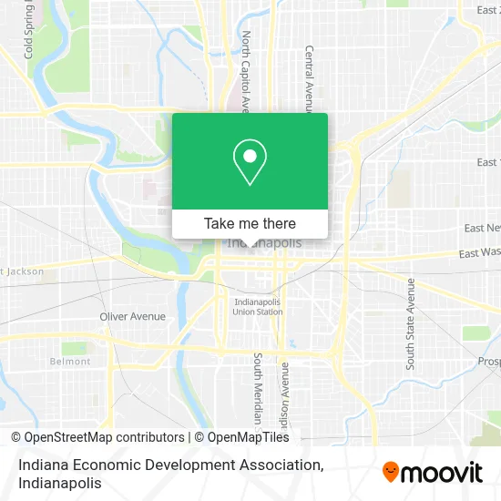
See Indiana Economic Development Association, Indianapolis City (Balance), on the map
Public Transit to Indiana Economic Development Association in Indianapolis City (Balance)
Wondering how to get to Indiana Economic Development Association in Indianapolis City (Balance)? Moovit helps you find the best way to get to Indiana Economic Development Association with step-by-step directions from the nearest public transit station.
Moovit provides free maps and live directions to help you navigate through your city. View schedules, routes, timetables, and find out how long does it take to get to Indiana Economic Development Association in real time.
Looking for the nearest stop or station to Indiana Economic Development Association? Check out this list of stops closest to your destination: Ohio St & Meridian St; Maryland St & Missouri St; Statehouse Station Sb; Vermont St & Capitol Ave; Ctc-T.
Bus: 25, 3, 90, 92, 11, 8, 24, 6, 10, 15, 34, 2.
Want to see if there’s another route that gets you there at an earlier time? Moovit helps you find alternative routes or times. Get directions from and directions to Indiana Economic Development Association easily from the Moovit App or Website.
We make riding to Indiana Economic Development Association easy, which is why over 1.5 million users, including users in Indianapolis City (Balance), trust Moovit as the best app for public transit. You don’t need to download an individual bus app or train app, Moovit is your all-in-one transit app that helps you find the best bus time or train time available.
For information on prices of bus, costs and ride fares to Indiana Economic Development Association, please check the Moovit app.
Use the app to navigate to popular places including to the airport, hospital, stadium, grocery store, mall, coffee shop, school, college, and university.
Indiana Economic Development Association Address: 125 W Market St street in Indianapolis City (Balance)
- Training and Preparation,
- Indianapolis Medical Society,
- American Planning Association - Indiana Chapter,
- The Corydon Group,
- Iasp on L in E,
- Governmental Affairs Association Management,
- Indiana Academy of Ophthalmology,
- Credit Repair Indianapolis,
- Indianapolis Water Testing,
- Indianapolis Reverse Osmosis System,
- Aaron Schaler, Home Loan Expert,
- York Cyber Advisors,
- Indianapolis Cooling and Heating,
- Elk Garage Doors,
- Boerger Investigative Services, LLC,
- 3D Property Management,
- Indianapolis Water Softeners,
- JNL Party Services,
- City Lock Change,
- KRPR
Places Near Indiana Economic Development Association (Indianapolis City (Balance))
- Plainfield, IN, Plainfield,
- Castleton Square Mall, Indianapolis,
- I-465 / I-65 Interchange, Indianapolis City (Balance),
- Indianapolis Motor Speedway, Speedway,
- St. Vincent entrance #1, Indianapolis City (Balance),
- 119 W 19th St Parking, Indianapolis City (Balance),
- Lilly Corporate Center (Eli Lilly & Co), Indianapolis City (Balance),
- Lucas Oil Stadium, Indianapolis City (Balance),
- Eskenazi Hospital, Indianapolis City (Balance),
- Jersey Barn, Indianapolis City (Balance),
- Cotter's Massage Parlor With Happy Endings, Indianapolis City (Balance),
- I U Health Methodist Hospital, Indianapolis City (Balance),
- Train Ride At Castleton Mall, Indianapolis City (Balance),
- Methodist Hospital of Indianapolis, Indianapolis City (Balance),
- THE BALT, Indianapolis City (Balance),
- Gainbridge Fieldhouse, Indianapolis City (Balance),
- Indiana Convention Center, Indianapolis City (Balance),
- St. Vincent Hospital - Indianapolis, Indianapolis City (Balance),
- Indiana, Indianapolis City (Balance),
- Indianapolis Airport Zone 2, Indianapolis City (Balance)
How to get to popular places in Indianapolis with public transit
Get around Indianapolis City (Balance) by public transit!
Traveling around Indianapolis City (Balance) has never been so easy. See step by step directions as you travel to any attraction, street or major public transit station. View bus and train schedules, arrival times, service alerts and detailed routes on a map, so you know exactly how to get to anywhere in Indianapolis City (Balance).
When traveling to any destination around Indianapolis City (Balance) use Moovit's Live Directions with Get Off Notifications to know exactly where and how far to walk, how long to wait for your line, and how many stops are left. Moovit will alert you when it's time to get off — no need to constantly re-check whether yours is the next stop.
Wondering how to use public transit in Indianapolis City (Balance) or how to pay for public transit in Indianapolis City (Balance)? Moovit public transit app can help you navigate your way with public transit easily, and at minimum cost. It includes public transit fees, ticket prices, and costs. Looking for a map of Indianapolis City (Balance) public transit lines? Moovit public transit app shows all public transit maps in Indianapolis City (Balance) with all bus routes and stops on an interactive map.
Indianapolis has 1 transit type(s), including: bus, operated by several transit agencies, including IndyGo, FlixBus-us and Greyhound-us