How to get to Indiana Invaders by bus?
Click on the bus route to see step by step directions with maps, line arrival times and updated time schedules.
From Cruitfly, Indianapolis City (Balance)
67 minFrom Lt Connel Realty, Indianapolis City (Balance)
62 minFrom Tienda Guatemalteca, Indianapolis City (Balance)
47 minFrom Elton Geshwiler Senior Center, Beech Grove
53 minFrom Social Security, Indianapolis City (Balance)
64 minFrom Salon700, Beech Grove
55 minFrom Midtown Indiana Polis, Indianapolis City (Balance)
50 minFrom Bluestar Painting, Indianapolis City (Balance)
68 minFrom 82 N Denny St, Indianapolis City (Balance)
40 min
Bus stops near Indiana Invaders in Indianapolis City (Balance)
Bus lines to Indiana Invaders in Indianapolis City (Balance)
What are the closest stations to Indiana Invaders?
The closest stations to Indiana Invaders are:
- Michigan St & Cable St is 626 yards away, 8 min walk.
- Washington St & Harding St is 649 yards away, 8 min walk.
- Eskenazi Ave & Wishard Blvd is 1098 yards away, 13 min walk.
Which bus lines stop near Indiana Invaders?
These bus lines stop near Indiana Invaders: 10, 3, 8.
What’s the nearest bus station to Indiana Invaders in Indianapolis City (Balance)?
The nearest bus stations to Indiana Invaders in Indianapolis City (Balance) are Michigan St & Cable St and Washington St & Harding St. The closest one is a 8 min walk away.
What time is the first bus to Indiana Invaders in Indianapolis City (Balance)?
The 37 is the first bus that goes to Indiana Invaders in Indianapolis City (Balance). It stops nearby at 4:58 AM.
What time is the last bus to Indiana Invaders in Indianapolis City (Balance)?
The 8 is the last bus that goes to Indiana Invaders in Indianapolis City (Balance). It stops nearby at 12:31 AM.
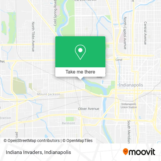
See Indiana Invaders, Indianapolis City (Balance), on the map
Public Transit to Indiana Invaders in Indianapolis City (Balance)
Wondering how to get to Indiana Invaders in Indianapolis City (Balance)? Moovit helps you find the best way to get to Indiana Invaders with step-by-step directions from the nearest public transit station.
Moovit provides free maps and live directions to help you navigate through your city. View schedules, routes, timetables, and find out how long does it take to get to Indiana Invaders in real time.
Looking for the nearest stop or station to Indiana Invaders? Check out this list of stops closest to your destination: Michigan St & Cable St; Washington St & Harding St; Eskenazi Ave & Wishard Blvd.
Bus: 10, 3, 8, 37.
Want to see if there’s another route that gets you there at an earlier time? Moovit helps you find alternative routes or times. Get directions from and directions to Indiana Invaders easily from the Moovit App or Website.
We make riding to Indiana Invaders easy, which is why over 1.5 million users, including users in Indianapolis City (Balance), trust Moovit as the best app for public transit. You don’t need to download an individual bus app or train app, Moovit is your all-in-one transit app that helps you find the best bus time or train time available.
For information on prices of bus, costs and ride fares to Indiana Invaders, please check the Moovit app.
Use the app to navigate to popular places including to the airport, hospital, stadium, grocery store, mall, coffee shop, school, college, and university.
Indiana Invaders Address: 1515 W New York St Indianapolis, IN 46222 street in Indianapolis City (Balance)
- Church-Pentecost,
- Reach To Teach Daycare,
- 1525 W Ohio St Parking,
- Auto Body & Mec Hanic Work,
- Tree Of Life Christian Ministries,
- 1520 Everett St Parking,
- Familysearch Center,
- Cloverskullco,
- Clark House,
- Berger's Table Pad Factory (Berger Table Pads),
- IUPUI: Riverwalk Apartments,
- Indianapolis Metropolitan High School,
- Riverwalk Apartments,
- Auto,
- JW Marriott,
- Indianapolis Zoo Gift Shop,
- Zoolala,
- White River Gardens,
- 520 N White River Pkwy W Dr Parking,
- Lot 62
Places Near Indiana Invaders (Indianapolis City (Balance))
- Indianapolis Motor Speedway, Speedway,
- Lucas Oil Stadium, Indianapolis City (Balance),
- I U Health Methodist Hospital, Indianapolis City (Balance),
- St. Vincent Hospital - Indianapolis, Indianapolis City (Balance),
- Train Ride At Castleton Mall, Indianapolis City (Balance),
- Indiana Convention Center, Indianapolis City (Balance),
- Indianapolis Airport Zone 2, Indianapolis City (Balance),
- Methodist Hospital of Indianapolis, Indianapolis City (Balance),
- I-465 / I-65 Interchange, Indianapolis City (Balance),
- Gainbridge Fieldhouse, Indianapolis City (Balance),
- Cotter's Massage Parlor With Happy Endings, Indianapolis City (Balance),
- 119 W 19th St Parking, Indianapolis City (Balance),
- St. Vincent entrance #1, Indianapolis City (Balance),
- Lilly Corporate Center (Eli Lilly & Co), Indianapolis City (Balance),
- Eskenazi Hospital, Indianapolis City (Balance),
- Jersey Barn, Indianapolis City (Balance),
- Castleton Square Mall, Indianapolis,
- Plainfield, IN, Plainfield,
- THE BALT, Indianapolis City (Balance),
- Indiana, Indianapolis City (Balance)
How to get to popular places in Indianapolis with public transit
Get around Indianapolis City (Balance) by public transit!
Traveling around Indianapolis City (Balance) has never been so easy. See step by step directions as you travel to any attraction, street or major public transit station. View bus and train schedules, arrival times, service alerts and detailed routes on a map, so you know exactly how to get to anywhere in Indianapolis City (Balance).
When traveling to any destination around Indianapolis City (Balance) use Moovit's Live Directions with Get Off Notifications to know exactly where and how far to walk, how long to wait for your line, and how many stops are left. Moovit will alert you when it's time to get off — no need to constantly re-check whether yours is the next stop.
Wondering how to use public transit in Indianapolis City (Balance) or how to pay for public transit in Indianapolis City (Balance)? Moovit public transit app can help you navigate your way with public transit easily, and at minimum cost. It includes public transit fees, ticket prices, and costs. Looking for a map of Indianapolis City (Balance) public transit lines? Moovit public transit app shows all public transit maps in Indianapolis City (Balance) with all bus routes and stops on an interactive map.
Indianapolis has 1 transit type(s), including: bus, operated by several transit agencies, including IndyGo, FlixBus-us and Greyhound-us