How to get to Indiana State Data Center by bus?
Click on the bus route to see step by step directions with maps, line arrival times and updated time schedules.
From Edward's Transmissions+ Auto Systems Expert - Keystone, Indianapolis City (Balance)
41 minFrom Avondale Meadows YMCA, Indianapolis City (Balance)
40 minFrom CIRCLE K, Beech Grove
43 minFrom Indianapolis Public Library, Indianapolis City (Balance)
52 minFrom Ninth Avenue Apartm, Beech Grove
43 minFrom Mini Market El Pinolero, Indianapolis City (Balance)
25 minFrom Lynhurst And Kentucky Ave, Indianapolis City (Balance)
41 minFrom Lafayette Square Mall, Indianapolis City (Balance)
34 minFrom Messiah Cares Child Development Center, Indianapolis City (Balance)
45 minFrom Westend Dental, Indianapolis City (Balance)
25 min
Bus stops near Indiana State Data Center in Indianapolis City (Balance)
Bus lines to Indiana State Data Center in Indianapolis City (Balance)
What are the closest stations to Indiana State Data Center?
The closest stations to Indiana State Data Center are:
- Ohio St & Meridian St is 186 yards away, 3 min walk.
- Washington St & Illinois St is 268 yards away, 4 min walk.
- Michigan St & Indiana Ave is 626 yards away, 8 min walk.
- Indiana Ave & Michigan St is 667 yards away, 8 min walk.
- Statehouse Station Nb is 792 yards away, 10 min walk.
Which bus lines stop near Indiana State Data Center?
These bus lines stop near Indiana State Data Center: 24, 25, 37, 90, 92.
What’s the nearest bus station to Indiana State Data Center in Indianapolis City (Balance)?
The nearest bus station to Indiana State Data Center in Indianapolis City (Balance) is Ohio St & Meridian St. It’s a 3 min walk away.
What time is the first bus to Indiana State Data Center in Indianapolis City (Balance)?
The 37 is the first bus that goes to Indiana State Data Center in Indianapolis City (Balance). It stops nearby at 4:50 AM.
What time is the last bus to Indiana State Data Center in Indianapolis City (Balance)?
The 90 is the last bus that goes to Indiana State Data Center in Indianapolis City (Balance). It stops nearby at 12:54 AM.
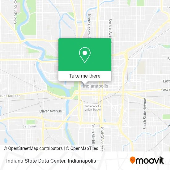
See Indiana State Data Center, Indianapolis City (Balance), on the map
Public Transit to Indiana State Data Center in Indianapolis City (Balance)
Wondering how to get to Indiana State Data Center in Indianapolis City (Balance)? Moovit helps you find the best way to get to Indiana State Data Center with step-by-step directions from the nearest public transit station.
Moovit provides free maps and live directions to help you navigate through your city. View schedules, routes, timetables, and find out how long does it take to get to Indiana State Data Center in real time.
Looking for the nearest stop or station to Indiana State Data Center? Check out this list of stops closest to your destination: Ohio St & Meridian St; Washington St & Illinois St; Michigan St & Indiana Ave; Indiana Ave & Michigan St; Statehouse Station Nb.
Bus: 24, 25, 37, 90, 92, 11, 8, 3, 10, 6, 15, 34.
Want to see if there’s another route that gets you there at an earlier time? Moovit helps you find alternative routes or times. Get directions from and directions to Indiana State Data Center easily from the Moovit App or Website.
We make riding to Indiana State Data Center easy, which is why over 1.5 million users, including users in Indianapolis City (Balance), trust Moovit as the best app for public transit. You don’t need to download an individual bus app or train app, Moovit is your all-in-one transit app that helps you find the best bus time or train time available.
For information on prices of bus, costs and ride fares to Indiana State Data Center, please check the Moovit app.
Use the app to navigate to popular places including to the airport, hospital, stadium, grocery store, mall, coffee shop, school, college, and university.
Indiana State Data Center Address: 140 N Senate Ave street in Indianapolis City (Balance)
- Library Development Office,
- Indiana Talking BK Braille Library,
- Ethics Commission, Indiana State,
- Indiana Academy of Science,
- IGCN Senate Avenue Garage,
- Board of Tax Review,
- State of Indiana Civil Rights Commission,
- State of Indiana Human Resources Division,
- Technical Support,
- Central Printing Services,
- State of Indiana Assistant Chief of Staff Communications & Information Systems,
- Indiana Police State,
- State of Indiana Missing Children Clearinghouse,
- Dept of Revenue/Controller,
- RCR Technology,
- Garage Door Co Garage,
- State Government Office of the Superintendent,
- Indiana Statehouse,
- Information Services Division,
- Indiana Arts Commission
Places Near Indiana State Data Center (Indianapolis City (Balance))
- THE BALT, Indianapolis City (Balance),
- Lucas Oil Stadium, Indianapolis City (Balance),
- Cotter's Massage Parlor With Happy Endings, Indianapolis City (Balance),
- Indiana, Indianapolis City (Balance),
- Plainfield, IN, Plainfield,
- Methodist Hospital of Indianapolis, Indianapolis City (Balance),
- Jersey Barn, Indianapolis City (Balance),
- Castleton Square Mall, Indianapolis,
- Eskenazi Hospital, Indianapolis City (Balance),
- Indiana Convention Center, Indianapolis City (Balance),
- Indianapolis Motor Speedway, Speedway,
- Indianapolis Airport Zone 2, Indianapolis City (Balance),
- St. Vincent Hospital - Indianapolis, Indianapolis City (Balance),
- I U Health Methodist Hospital, Indianapolis City (Balance),
- 119 W 19th St Parking, Indianapolis City (Balance),
- Gainbridge Fieldhouse, Indianapolis City (Balance),
- I-465 / I-65 Interchange, Indianapolis City (Balance),
- Lilly Corporate Center (Eli Lilly & Co), Indianapolis City (Balance),
- Train Ride At Castleton Mall, Indianapolis City (Balance),
- St. Vincent entrance #1, Indianapolis City (Balance)
How to get to popular places in Indianapolis with public transit
Get around Indianapolis City (Balance) by public transit!
Traveling around Indianapolis City (Balance) has never been so easy. See step by step directions as you travel to any attraction, street or major public transit station. View bus and train schedules, arrival times, service alerts and detailed routes on a map, so you know exactly how to get to anywhere in Indianapolis City (Balance).
When traveling to any destination around Indianapolis City (Balance) use Moovit's Live Directions with Get Off Notifications to know exactly where and how far to walk, how long to wait for your line, and how many stops are left. Moovit will alert you when it's time to get off — no need to constantly re-check whether yours is the next stop.
Wondering how to use public transit in Indianapolis City (Balance) or how to pay for public transit in Indianapolis City (Balance)? Moovit public transit app can help you navigate your way with public transit easily, and at minimum cost. It includes public transit fees, ticket prices, and costs. Looking for a map of Indianapolis City (Balance) public transit lines? Moovit public transit app shows all public transit maps in Indianapolis City (Balance) with all bus routes and stops on an interactive map.
Indianapolis has 1 transit type(s), including: bus, operated by several transit agencies, including IndyGo, FlixBus-us and Greyhound-us