Directions to Indy Data Partners (Lawrence) with public transportation
The following transit lines have routes that pass near Indy Data Partners
 Bus: 92.
How to get to Indy Data Partners by bus?
Click on the bus route to see step by step directions with maps, line arrival times and updated time schedules.
From Begreat Fitness / Strongnotskinny LLC, Indianapolis City (Balance)
63 minFrom Ecoatm, Indianapolis City (Balance)
56 minFrom Copyfire Type, Indianapolis City (Balance)
65 minFrom Community Hospital East, Indianapolis City (Balance)
57 minFrom Upcycled 360, Warren Park
55 minFrom Alumbaugh, Staci L, Indianapolis City (Balance)
68 minFrom Heather Lynette Benson, MD, Indianapolis City (Balance)
57 minFrom Retails Neighborhood Pet Place, Indianapolis City (Balance)
54 minFrom Abelard, Frank Photography, Indianapolis City (Balance)
68 minFrom CMC 7244 Indianapolis, Indianapolis City (Balance)
62 min
Bus stop near Indy Data Partners in Lawrence
- Fort Harrison Station Eol Sb, 7 min walk,VIEW
Bus lines to Indy Data Partners in Lawrence
- 92, Transit Center,VIEW
What are the closest stations to Indy Data Partners?
The closest stations to Indy Data Partners are:
- Fort Harrison Station Eol Sb is 533 yards away, 7 min walk.
Which bus line stops near Indy Data Partners?
92 (Ft. Harrison)
What’s the nearest bus station to Indy Data Partners in Lawrence?
The nearest bus station to Indy Data Partners in Lawrence is Fort Harrison Station Eol Sb. It’s a 7 min walk away.
What time is the first bus to Indy Data Partners in Lawrence?
The 92 is the first bus that goes to Indy Data Partners in Lawrence. It stops nearby at 4:10 AM.
What time is the last bus to Indy Data Partners in Lawrence?
The 92 is the last bus that goes to Indy Data Partners in Lawrence. It stops nearby at 1:09 AM.
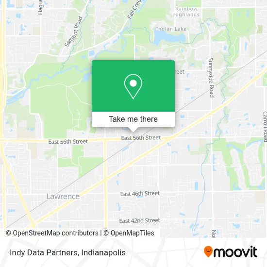
See Indy Data Partners, Lawrence, on the map
Public Transit to Indy Data Partners in Lawrence
Wondering how to get to Indy Data Partners in Lawrence? Moovit helps you find the best way to get to Indy Data Partners with step-by-step directions from the nearest public transit station.
Moovit provides free maps and live directions to help you navigate through your city. View schedules, routes, timetables, and find out how long does it take to get to Indy Data Partners in real time.
Looking for the nearest stop or station to Indy Data Partners? Check out this list of stops closest to your destination: Fort Harrison Station Eol Sb.
Bus: 92.
Want to see if there’s another route that gets you there at an earlier time? Moovit helps you find alternative routes or times. Get directions from and directions to Indy Data Partners easily from the Moovit App or Website.
We make riding to Indy Data Partners easy, which is why over 1.5 million users, including users in Lawrence, trust Moovit as the best app for public transit. You don’t need to download an individual bus app or train app, Moovit is your all-in-one transit app that helps you find the best bus time or train time available.
For information on prices of bus, costs and ride fares to Indy Data Partners, please check the Moovit app.
Use the app to navigate to popular places including to the airport, hospital, stadium, grocery store, mall, coffee shop, school, college, and university.
Indy Data Partners Address: 5649 Lee Rd street in Lawrence
- Perpetual Technologies, Inc.,
- Primo Banquet Hall,
- The Veridus Group,
- Veridus Group, Inc.,
- Benjamin A. Stephens, Np,
- Ascension Medical Group St. Vincent - Lawrence Women's Health,
- Ascension Medical Group St. Vincent Lawrence Walk-In Care,
- Ascension Medical Group St. Vincent - Lawrence Primary & Specialty Care,
- Tamara D. Dickerson, Md,
- Lauren Westlake, Np,
- The American Legion John H Geiger Operations Center,
- Harris & Ford, Llc,
- Fort Ben Branch Library,
- Fort Harrison Toastmasters Club,
- Y M C A,
- Indy Concrete And Footers,
- Benjamin Court,
- Veterans Memorial Chapel,
- The Otis at Fort Ben Luxury Apartments,
- bp
Places Near Indy Data Partners (Lawrence)
- Plainfield, IN, Plainfield,
- St. Vincent entrance #1, Indianapolis City (Balance),
- Indiana, Indianapolis City (Balance),
- Indiana Convention Center, Indianapolis City (Balance),
- THE BALT, Indianapolis City (Balance),
- Lilly Corporate Center (Eli Lilly & Co), Indianapolis City (Balance),
- Indianapolis Airport Zone 2, Indianapolis City (Balance),
- Castleton Square Mall, Indianapolis,
- Cotter's Massage Parlor With Happy Endings, Indianapolis City (Balance),
- St. Vincent Hospital - Indianapolis, Indianapolis City (Balance),
- I-465 / I-65 Interchange, Indianapolis City (Balance),
- I U Health Methodist Hospital, Indianapolis City (Balance),
- Methodist Hospital of Indianapolis, Indianapolis City (Balance),
- Lucas Oil Stadium, Indianapolis City (Balance),
- Jersey Barn, Indianapolis City (Balance),
- 119 W 19th St Parking, Indianapolis City (Balance),
- Train Ride At Castleton Mall, Indianapolis City (Balance),
- Indianapolis Motor Speedway, Speedway,
- Eskenazi Hospital, Indianapolis City (Balance),
- Gainbridge Fieldhouse, Indianapolis City (Balance)
How to get to popular places in Indianapolis with public transit
Get around Lawrence by public transit!
Traveling around Lawrence has never been so easy. See step by step directions as you travel to any attraction, street or major public transit station. View bus and train schedules, arrival times, service alerts and detailed routes on a map, so you know exactly how to get to anywhere in Lawrence.
When traveling to any destination around Lawrence use Moovit's Live Directions with Get Off Notifications to know exactly where and how far to walk, how long to wait for your line, and how many stops are left. Moovit will alert you when it's time to get off — no need to constantly re-check whether yours is the next stop.
Wondering how to use public transit in Lawrence or how to pay for public transit in Lawrence? Moovit public transit app can help you navigate your way with public transit easily, and at minimum cost. It includes public transit fees, ticket prices, and costs. Looking for a map of Lawrence public transit lines? Moovit public transit app shows all public transit maps in Lawrence with all bus routes and stops on an interactive map.
Indianapolis has 1 transit type(s), including: bus, operated by several transit agencies, including IndyGo, FlixBus-us and Greyhound-us