How to get to Ingleside Playground by bus?
Click on the bus route to see step by step directions with maps, line arrival times and updated time schedules.
From Dcu Center, Worcester
123 minFrom Gardner, MA, Gardner
263 minFrom Registry Of Motor Vehicles (Rmv) Branch Office, Worcester
125 minFrom South High Community School, Worcester
237 minFrom Palladium, Worcester
126 minFrom Worcester, MA, Worcester
121 minFrom Saint Vincent Hospital at Worcester Medical Center, Worcester
123 minFrom Foxwoods, Worcester
170 minFrom Polar Park, Worcester
123 min
Bus stops near Ingleside Playground in Boston
Train station near Ingleside Playground in Boston
- Holyoke Amtrak, 4 min walk,VIEW
Bus lines to Ingleside Playground in Boston
What are the closest stations to Ingleside Playground?
The closest stations to Ingleside Playground are:
- Lower Westfield / Whiting Farms is 135 yards away, 2 min walk.
- Main / Saint Vincent (1) is 232 yards away, 4 min walk.
- Holyoke Amtrak is 249 yards away, 4 min walk.
Which bus lines stop near Ingleside Playground?
These bus lines stop near Ingleside Playground: P20, R29.
What’s the nearest train station to Ingleside Playground in Boston?
The nearest train station to Ingleside Playground in Boston is Holyoke Amtrak. It’s a 4 min walk away.
What’s the nearest bus station to Ingleside Playground in Boston?
The nearest bus station to Ingleside Playground in Boston is Lower Westfield / Whiting Farms. It’s a 2 min walk away.
What time is the first train to Ingleside Playground in Boston?
The VALLEY FLYER is the first train that goes to Ingleside Playground in Boston. It stops nearby at 6:45 AM.
What time is the last train to Ingleside Playground in Boston?
The VALLEY FLYER is the last train that goes to Ingleside Playground in Boston. It stops nearby at 9:51 PM.
What time is the first bus to Ingleside Playground in Boston?
The P20 is the first bus that goes to Ingleside Playground in Boston. It stops nearby at 6:04 AM.
What time is the last bus to Ingleside Playground in Boston?
The P20 is the last bus that goes to Ingleside Playground in Boston. It stops nearby at 11:09 PM.
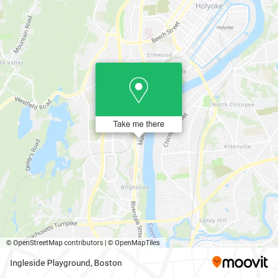
See Ingleside Playground, Boston, on the map
Public Transit to Ingleside Playground in Boston
Wondering how to get to Ingleside Playground in Boston? Moovit helps you find the best way to get to Ingleside Playground with step-by-step directions from the nearest public transit station.
Moovit provides free maps and live directions to help you navigate through your city. View schedules, routes, timetables, and find out how long does it take to get to Ingleside Playground in real time.
Looking for the nearest stop or station to Ingleside Playground? Check out this list of stops closest to your destination: Lower Westfield / Whiting Farms; Main / Saint Vincent (1); Holyoke Amtrak.
Bus: P20, R29, T20, R24, R41, T24.Train: VALLEY FLYER, VERMONTER.
Want to see if there’s another route that gets you there at an earlier time? Moovit helps you find alternative routes or times. Get directions from and directions to Ingleside Playground easily from the Moovit App or Website.
We make riding to Ingleside Playground easy, which is why over 1.7 million users, including users in Boston, trust Moovit as the best app for public transit. You don’t need to download an individual bus app or train app, Moovit is your all-in-one transit app that helps you find the best bus time or train time available.
For information on prices of bus, costs and ride fares to Ingleside Playground, please check the Moovit app.
Use the app to navigate to popular places including to the airport, hospital, stadium, grocery store, mall, coffee shop, school, college, and university.
Ingleside Playground Address: Main Street street in Boston
- Ingleside,
- 1115 Main Street,
- Descant Music & Art Studio,
- Geriatric Authority of Holyoke,
- Missioncare at Holyoke,
- William J. Dean Technical High School,
- McCann, John P,
- Bounce Trampoline Sports,
- 100 Club,
- Julius Galecki,
- Holy Family & Unnamed Street,
- Holyoak Hill Apts,
- ChargePoint,
- Donahue Farmer's Market,
- Quick Lane,
- United Healthcare,
- Cvs Pharmacy,
- Porchlight Group Notary & Apostille,
- Kim Nail Salon,
- Kim & Kelly's Nails
Places Near Ingleside Playground (Boston)
- Cheers, Boston,
- Boston Children's Hospital, Boston,
- Boston Medical Center, Boston,
- Prudential Center, Boston,
- Boston Convention & Exhibition Center, Boston,
- Wilbur Theatre, Boston,
- Quincy Market, Boston,
- Castle Island, Boston,
- Mgm Music Hall, Boston,
- House Of Blues, Boston,
- Isabella Stewart Gardner Museum, Boston,
- Td Garden, Boston,
- Seaport District, Boston,
- North End, Boston,
- Museum Of Science, Boston,
- Massachusetts General Hospital, Boston,
- Leader Bank Pavilion (Leader Bank Pavillion), Boston,
- Boston Common, Boston,
- Wang Theater, Boston,
- Faneuil Hall, Boston
How to get to popular places in Boston with public transit
Get around Boston by public transit!
Traveling around Boston has never been so easy. See step by step directions as you travel to any attraction, street or major public transit station. View bus and train schedules, arrival times, service alerts and detailed routes on a map, so you know exactly how to get to anywhere in Boston.
When traveling to any destination around Boston use Moovit's Live Directions with Get Off Notifications to know exactly where and how far to walk, how long to wait for your line, and how many stops are left. Moovit will alert you when it's time to get off — no need to constantly re-check whether yours is the next stop.
Wondering how to use public transit in Boston or how to pay for public transit in Boston? Moovit public transit app can help you navigate your way with public transit easily, and at minimum cost. It includes public transit fees, ticket prices, and costs. Looking for a map of Boston public transit lines? Moovit public transit app shows all public transit maps in Boston with all Bus, Train, Subway and Ferry routes and stops on an interactive map.
Boston has 4 transit type(s), including: Bus, Train, Subway and Ferry, operated by several transit agencies, including MBTA, Southeastern Regional Transit Authority, MetroWest Regional Transit Authority, Rhode Island Public Transit Authority, WRTA, Lowell Regional Transit Authority, Merrimack Valley Transit, Montachusett Regional Transit Authority, Cape Cod Regional Transit Authority, Brockton Area Transit Authority, Martha's Vineyard Transit Authority, the WAVE - Nantucket Regional Transit Authority, GATRA, Cape Ann Transportation Authority and Massport