How to get to Injoko by bus?
Click on the bus route to see step by step directions with maps, line arrival times and updated time schedules.
From Poltekkes Kemenkes Surabaya Keperawatan Soetomo, Airlangga
36 minFrom Universitas Muhammadiyah Surabaya, Dukuh Sutorejo
43 minFrom Grand City Mall, Surabaya, Gubeng
34 minFrom Jalan Raya Margomulyo, Surabaya
53 minFrom Ara Cell, Manyar Sabrangan
46 minFrom Kota Tua, Krembangan Selatan
42 minFrom Terminal Dukuh Kupang, Dukuh Kupang
41 minFrom Exit Tol Pasar Turi, Genting
50 minFrom jl.demak surabaya, Dupak
37 min
How to get to Injoko by train?
Click on the train route to see step by step directions with maps, line arrival times and updated time schedules.
Bus stops near Injoko in Gayungan
Train stations near Injoko in Gayungan
Bus lines to Injoko in Gayungan
What are the closest stations to Injoko?
The closest stations to Injoko are:
- Taman Pelangi is 131 meters away, 2 min walk.
- Jalan Jenderal Ahmad Yani 152 is 220 meters away, 3 min walk.
- Jalan Jenderal Ahmad Yani 153 is 484 meters away, 7 min walk.
- Stasiun Sepanjang is 516 meters away, 7 min walk.
- Siwalankerto 2 is 601 meters away, 8 min walk.
- Raya Jemursari 2 is 622 meters away, 9 min walk.
- Jalan Jetis Seraten 6 is 1001 meters away, 13 min walk.
- Stasiun Waru is 4250 meters away, 55 min walk.
Which bus lines stop near Injoko?
These bus lines stop near Injoko: BUS F, DKM, R1, R4.
Which train line stops near Injoko?
P (Blitar)
What’s the nearest train station to Injoko in Gayungan?
The nearest train station to Injoko in Gayungan is Stasiun Sepanjang. It’s a 7 min walk away.
What’s the nearest bus station to Injoko in Gayungan?
The nearest bus station to Injoko in Gayungan is Taman Pelangi. It’s a 2 min walk away.
What time is the first train to Injoko in Gayungan?
The S is the first train that goes to Injoko in Gayungan. It stops nearby at 3:22 AM.
What time is the last train to Injoko in Gayungan?
The SP is the last train that goes to Injoko in Gayungan. It stops nearby at 1:58 AM.
What time is the first bus to Injoko in Gayungan?
The BUS F is the first bus that goes to Injoko in Gayungan. It stops nearby at 4:20 AM.
What time is the last bus to Injoko in Gayungan?
The BUS F is the last bus that goes to Injoko in Gayungan. It stops nearby at 12:14 AM.
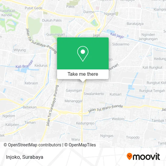
See Injoko, Gayungan, on the map
Public Transit to Injoko in Gayungan
Wondering how to get to Injoko in Gayungan? Moovit helps you find the best way to get to Injoko with step-by-step directions from the nearest public transit station.
Moovit provides free maps and live directions to help you navigate through your city. View schedules, routes, timetables, and find out how long does it take to get to Injoko in real time.
Looking for the nearest stop or station to Injoko? Check out this list of stops closest to your destination: Taman Pelangi; Jalan Jenderal Ahmad Yani 152; Jalan Jenderal Ahmad Yani 153; Stasiun Sepanjang; Siwalankerto 2; Raya Jemursari 2; Jalan Jetis Seraten 6; Stasiun Waru.
Bus: BUS F, DKM, R1, R4, SBT, BUS D, P2, P7, K2.Train: P, D, J, A, S, SP.
Want to see if there’s another route that gets you there at an earlier time? Moovit helps you find alternative routes or times. Get directions from and directions to Injoko easily from the Moovit App or Website.
We make riding to Injoko easy, which is why over 1.5 million users, including users in Gayungan, trust Moovit as the best app for public transit. You don’t need to download an individual bus app or train app, Moovit is your all-in-one transit app that helps you find the best bus time or train time available.
For information on prices of bus and train, costs and ride fares to Injoko, please check the Moovit app.
Use the app to navigate to popular places including to the airport, hospital, stadium, grocery store, mall, coffee shop, school, college, and university.
Location: Gayungan, Surabaya
- Depot Mie Remaja,
- Jl. Injoko,
- Upt Pengawasan Dan Sertifikasi Benih Tanaman Pangan Dan Holtikultura,
- BKP Jawa Timur 2 (Gedung B),
- Gebu Minang (Rumah Gadang),
- Gebu Minang Jawa Timur,
- Badan Ketahanan Pangan (BKP) Provinsi Jawa Timur,
- Dinas Pertanian Provinsi Jawa Timur,
- Kantor Upt. Psbtph Surabaya,
- Bmkg Gorontalo,
- TK Kemala Bhayangkari 1,
- Superstar Xerox Digital Printing,
- Dinas Pekerjaan Umum Sumber Daya Air Provinsi Jawa Timur,
- Dinas Perikanan dan Kelautan Provinsi Jawa Timur,
- Grapari Telkomsel,
- Laboratorium Medika Yani,
- Dinas Perumahan Rakyat, Kawasan Permukiman dan Cipta Karya Provinsi Jawa Timur,
- Masakan Padang Cahaya Minang,
- Rumah makan Utama Caruban,
- Dinas Pertanian Dan Ketahanan Pangan Provinsi Jawa Timur
Places Near Injoko (Gayungan)
- Kantor Regional II BKN Surabaya, Sidoarjo,
- Taman Harmoni, Keputih,
- Kebun Binatang Surabaya, Darmo,
- Smoking Room Terminal Domestik Juanda International Airport, Sidoarjo,
- PTC, Surabaya,
- Bg Junction, Bubutan,
- GBT (Gelora Bung Tomo) Surabaya, Benowo,
- Pelabuhan Tanjung Perak,
- Bis Damri P1 (Perak-Bungurasih PP), Krembangan Selatan,
- UPN Veteran Jawa Timur, Gunung Anyar,
- Universitas Negeri Surabaya (UNESA), Lidah Wetan,
- Stadion gelora bung tomo(surabaya,jawa timur), Surabaya,
- Masjid Al-Akbar, Surabaya,
- Halte Bis Royal Plaza, Wonokromo,
- Pakuwon Mall, Lontar,
- Galaxy Mall Surabaya, Mulyorejo,
- Graha Pena, Ketintang,
- Grand City Mall, Surabaya, Gubeng,
- BG Junction Mall, Bubutan,
- Pakuwon City Mall, Keputih
How to get to popular places in Surabaya with public transit
Get around Gayungan by public transit!
Traveling around Gayungan has never been so easy. See step by step directions as you travel to any attraction, street or major public transit station. View bus and train schedules, arrival times, service alerts and detailed routes on a map, so you know exactly how to get to anywhere in Gayungan.
When traveling to any destination around Gayungan use Moovit's Live Directions with Get Off Notifications to know exactly where and how far to walk, how long to wait for your line, and how many stops are left. Moovit will alert you when it's time to get off — no need to constantly re-check whether yours is the next stop.
Wondering how to use public transit in Gayungan or how to pay for public transit in Gayungan? Moovit public transit app can help you navigate your way with public transit easily, and at minimum cost. It includes public transit fees, ticket prices, and costs. Looking for a map of Gayungan public transit lines? Moovit public transit app shows all public transit maps in Gayungan with all Bus and Train routes and stops on an interactive map.
Surabaya has 2 transit type(s), including: Bus and Train, operated by several transit agencies, including KAI Commuter, Angkutan Surabaya, Trans Semanggi Suroboyo, Suroboyo Bus, Feeder Wira Wiri Suroboyo, Trans Jatim and DAMRI