How to get to Ink Readable by bus?
Click on the bus route to see step by step directions with maps, line arrival times and updated time schedules.
From Shadow Ridge High School, Las Vegas
122 minFrom Clark County Assessor & Recorder's Office, Las Vegas
64 minFrom GPS, Las Vegas
76 minFrom W Tropical Pkwy, Las Vegas
57 minFrom N Tenaya Way / Cathedral Rock Dr, Las Vegas
74 minFrom Desert Shores Lake, Las Vegas
83 minFrom Red Rock, Las Vegas
75 minFrom Medical Building @ 7200 Cathedral Rock, Las Vegas
77 minFrom Sun City Summerlin, Las Vegas
90 minFrom Becker Middle School, Las Vegas
76 min
Bus stops near Ink Readable in Las Vegas
Bus lines to Ink Readable in Las Vegas
What are the closest stations to Ink Readable?
The closest stations to Ink Readable are:
- Sb Cimarron After Hesperides is 363 yards away, 5 min walk.
- Wb Ace After Grand Montecito is 953 yards away, 12 min walk.
Which bus line stops near Ink Readable?
106 (106a Rancho / Centennial Hills Northbound)
What’s the nearest bus station to Ink Readable in Las Vegas?
The nearest bus station to Ink Readable in Las Vegas is Sb Cimarron After Hesperides. It’s a 5 min walk away.
What time is the first bus to Ink Readable in Las Vegas?
The 106 is the first bus that goes to Ink Readable in Las Vegas. It stops nearby at 4:38 AM.
What time is the last bus to Ink Readable in Las Vegas?
The 106 is the last bus that goes to Ink Readable in Las Vegas. It stops nearby at 2:41 AM.
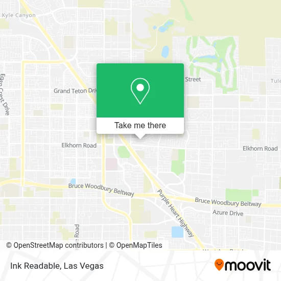
See Ink Readable, Las Vegas, on the map
Public Transit to Ink Readable in Las Vegas
Wondering how to get to Ink Readable in Las Vegas? Moovit helps you find the best way to get to Ink Readable with step-by-step directions from the nearest public transit station.
Moovit provides free maps and live directions to help you navigate through your city. View schedules, routes, timetables, and find out how long does it take to get to Ink Readable in real time.
Looking for the nearest stop or station to Ink Readable? Check out this list of stops closest to your destination: Sb Cimarron After Hesperides; Wb Ace After Grand Montecito.
Bus: 106, CX.
Want to see if there’s another route that gets you there at an earlier time? Moovit helps you find alternative routes or times. Get directions from and directions to Ink Readable easily from the Moovit App or Website.
We make riding to Ink Readable easy, which is why over 1.7 million users, including users in Las Vegas, trust Moovit as the best app for public transit. You don’t need to download an individual bus app or train app, Moovit is your all-in-one transit app that helps you find the best bus time or train time available.
For information on prices of bus, costs and ride fares to Ink Readable, please check the Moovit app.
Use the app to navigate to popular places including to the airport, hospital, stadium, grocery store, mall, coffee shop, school, college, and university.
Ink Readable Address: 8228 Wildwood Glen Dr street in Las Vegas
- Danny Certified Massage Therapist (Massage for Men),
- Centennial Hills Park & Ride,
- Creech Park And Ride,
- RTC Centennial Hills TRANSIT Center Park & Ride,
- Centennial Hills Transit Center,
- Elkhorn And Durango,
- Ralph Cadwallader Middle School,
- Centennial Hills, Nevada,
- Oso Blanca & Durango,
- Centennial Hospital,
- Siri Gadde, MD,
- Centennial Hills Hospital Medical Center,
- Centennial Hills Hospital ER,
- Popeyes Louisiana Kitchen,
- Lake Las Vegas,
- Mount Charleston,
- Elkhorn @ Buffalo (W),
- Tule Springs,
- N Buffalo Dr,
- Durango / Deer Springs
Places Near Ink Readable (Las Vegas)
- Zak Bagans Haunted Museum, Las Vegas,
- Las Vegas South Premium Outlets, Enterprise,
- Meow Wolf - Las Vegas (Meow Wolf's Omega Mart), Las Vegas,
- Welcome To Fabulous Las Vegas Sign, Paradise,
- The Deuce Bus Stop at Fremont St, Las Vegas,
- Walmart Supercenter, Las Vegas,
- Koolsville Tattoos, Las Vegas,
- Las Vegas Premium Outlets-North, Enterprise,
- Gold & Silver Pawn Shop, Las Vegas,
- Arte Museum Las Vegas, Paradise,
- Omega Mart, Las Vegas,
- Area15, Las Vegas,
- Allegiant Stadium, Paradise,
- Lee Canyon, Las Vegas,
- The Neon Museum, Las Vegas,
- The Palms Casino Resort, Paradise,
- Las Vegas North Premium Outlets, Las Vegas,
- Trump International Hotel Las Vegas, Paradise,
- Walmart, Las Vegas,
- Town Square, Enterprise
How to get to popular places in Las Vegas with public transit
Get around Las Vegas by public transit!
Traveling around Las Vegas has never been so easy. See step by step directions as you travel to any attraction, street or major public transit station. View bus and train schedules, arrival times, service alerts and detailed routes on a map, so you know exactly how to get to anywhere in Las Vegas.
When traveling to any destination around Las Vegas use Moovit's Live Directions with Get Off Notifications to know exactly where and how far to walk, how long to wait for your line, and how many stops are left. Moovit will alert you when it's time to get off — no need to constantly re-check whether yours is the next stop.
Wondering how to use public transit in Las Vegas or how to pay for public transit in Las Vegas? Moovit public transit app can help you navigate your way with public transit easily, and at minimum cost. It includes public transit fees, ticket prices, and costs. Looking for a map of Las Vegas public transit lines? Moovit public transit app shows all public transit maps in Las Vegas with all Bus and Monorail routes and stops on an interactive map.
Las Vegas has 2 transit type(s), including: Bus and Monorail, operated by several transit agencies, including RTCSNV, City of Las Vegas, Alvand Transportation, Vegas Airporter, Las Vegas Monorail, FlixBus-us and Greyhound-us