How to get to Inna Ozerov MD by bus?
Click on the bus route to see step by step directions with maps, line arrival times and updated time schedules.
From South Broward High School, Hollywood
59 minFrom Surfside Beach, Miami Beach
20 minFrom Hollywood Beach-Broadwalk, Hollywood
86 minFrom Collins Avenue & 5600 Block, Miami Beach
33 minFrom Sensual Massage 4 Women, Miami Beach
47 minFrom Waterside Hotel and Suites Miami Beach, Miami Beach
29 minFrom Tri-Rail - Hollywood Station, Hollywood
83 minFrom Hilton Cabana Miami Beach, Miami Beach
30 minFrom Amazon warehouse, Miami
79 minFrom West Park, Florida, Hallandale Beach
88 min
Bus stop near Inna Ozerov MD in Miami Beach
- Collins Av & 172 St, 2 min walk,VIEW
Bus lines to Inna Ozerov MD in Miami Beach
What are the closest stations to Inna Ozerov MD?
The closest stations to Inna Ozerov MD are:
- Collins Av & 172 St is 128 yards away, 2 min walk.
Which bus lines stop near Inna Ozerov MD?
These bus lines stop near Inna Ozerov MD: 100, 75.
What’s the nearest bus station to Inna Ozerov MD in Miami Beach?
The nearest bus station to Inna Ozerov MD in Miami Beach is Collins Av & 172 St. It’s a 2 min walk away.
What time is the first bus to Inna Ozerov MD in Miami Beach?
The 100 is the first bus that goes to Inna Ozerov MD in Miami Beach. It stops nearby at 3:17 AM.
What time is the last bus to Inna Ozerov MD in Miami Beach?
The 100 is the last bus that goes to Inna Ozerov MD in Miami Beach. It stops nearby at 3:09 AM.
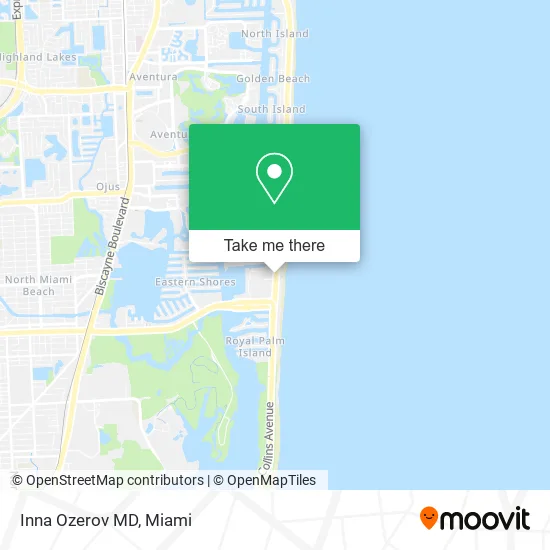
See Inna Ozerov MD, Miami Beach, on the map
Public Transit to Inna Ozerov MD in Miami Beach
Wondering how to get to Inna Ozerov MD in Miami Beach? Moovit helps you find the best way to get to Inna Ozerov MD with step-by-step directions from the nearest public transit station.
Moovit provides free maps and live directions to help you navigate through your city. View schedules, routes, timetables, and find out how long does it take to get to Inna Ozerov MD in real time.
Looking for the nearest stop or station to Inna Ozerov MD? Check out this list of stops closest to your destination: Collins Av & 172 St.
Bus: 100, 75, SUNNYBL, SUNNYOR.
Want to see if there’s another route that gets you there at an earlier time? Moovit helps you find alternative routes or times. Get directions from and directions to Inna Ozerov MD easily from the Moovit App or Website.
We make riding to Inna Ozerov MD easy, which is why over 1.5 million users, including users in Miami Beach, trust Moovit as the best app for public transit. You don’t need to download an individual bus app or train app, Moovit is your all-in-one transit app that helps you find the best bus time or train time available.
For information on prices of bus and train, costs and ride fares to Inna Ozerov MD, please check the Moovit app.
Use the app to navigate to popular places including to the airport, hospital, stadium, grocery store, mall, coffee shop, school, college, and university.
Inna Ozerov MD Address: 17100 Collins Ave North Miami Beach, FL 33160 street in Miami Beach
- Locks Re Key North Miami Beach,
- Exclusive Men's Spa,
- Sensation Fl,
- Aqualine Swimwear,
- STARBUCKS,
- Encanta Cejas,
- Lady Inn,
- Mavi Jeans,
- La Cabrera,
- Cambalache,
- Angel's Escorts,
- Emre,
- PORSCHE Design Tower PORSCHE Haus 3005,
- Sunny Isles Guide,
- Planet Stella Hair Salon,
- Wolfie Cohen s Rascal House,
- Conan Locksmith,
- Total by Verizon,
- Tse Metro,
- Sunny Island Enterprises
Places Near Inna Ozerov MD (Miami Beach)
- Zoo Miami, Miami,
- Dolphin Mall Bus, Miami,
- Bayside Marketplace, Miami,
- Hard Rock Stadium, Miami Gardens,
- Dolphin Mall, Miami,
- Miami VA Hospital, Miami,
- Miami-Dade County Courthouse, Miami,
- Port of Miami Cruise Terminal, Miami,
- Sawgrass Mall, Miami,
- Aventura Mall, Miami Beach,
- Brickell City Centre, Miami,
- Marlins Park, Miami,
- Keiser University Flagship Campus, West Palm Beach,
- Little Havana, Miami,
- Richard E. Gerstein Justice Building, Miami,
- Sawgrass mall ( FL ), Miami Beach,
- Miami Freedom Park, Miami,
- Aventura Mall, Miami,
- Wynwood, Miami,
- Miami Design District, Miami
How to get to popular places in Miami with public transit
Get around Miami Beach by public transit!
Traveling around Miami Beach has never been so easy. See step by step directions as you travel to any attraction, street or major public transit station. View bus and train schedules, arrival times, service alerts and detailed routes on a map, so you know exactly how to get to anywhere in Miami Beach.
When traveling to any destination around Miami Beach use Moovit's Live Directions with Get Off Notifications to know exactly where and how far to walk, how long to wait for your line, and how many stops are left. Moovit will alert you when it's time to get off — no need to constantly re-check whether yours is the next stop.
Wondering how to use public transit in Miami Beach or how to pay for public transit in Miami Beach? Moovit public transit app can help you navigate your way with public transit easily, and at minimum cost. It includes public transit fees, ticket prices, and costs. Looking for a map of Miami Beach public transit lines? Moovit public transit app shows all public transit maps in Miami Beach with all Bus, Train, Light Rail and Ferry routes and stops on an interactive map.
Miami has 4 transit type(s), including: Bus, Train, Light Rail and Ferry, operated by several transit agencies, including Broward County Transit, Miami-Dade Transit, Metrorail, Palm Tran, Tri-Rail, Brightline, MARTY, City of Homestead Trolley, Key West Transit, Treasure Coast Connector, GoLine IRT, Amtrak, Greyhound-us, FlixBus-us and Aventura Express Shuttle Bus