
Inns Quay stop - Wednesday schedule
| Line | Direction | Time |
|---|---|---|
| C2 | Sandymount | 03:02 |
| 80 | Palmerston Park | 03:19 |
| C5 | Ringsend Road | 03:26 |
| C1 | Sandymount | 03:28 |
| 24 | Merrion Square | 03:42 |
| C6 | Ringsend Road | 03:43 |
| C2 | Sandymount | 04:09 |
| 24 | Merrion Square | 04:13 |
| 80 | Palmerston Park | 04:21 |
| C5 | Ringsend Road | 04:22 |
| C1 | Sandymount | 04:34 |
| 24 | Merrion Square | 04:43 |
| C6 | Ringsend Road | 04:48 |
| C2 | Sandymount | 05:07 |
| 24 | Merrion Square | 05:13 |
| 80 | Palmerston Park | 05:21 |
| C3 | Ringsend Road | 05:24 |
| C1 | Sandymount | 05:24 |
| 24 | Merrion Square | 05:36 |
| 60 | John Rogerson Qy | 05:41 |
| C4 | Ringsend Road | 05:44 |
| 23 | Merrion Square | 05:48 |
| 24 | Merrion Square | 05:56 |
| C2 | Sandymount | 05:57 |
| 80 | Palmerston Park | 05:58 |
Directions to Inns Quay stop (Dublin) with public transit
The following transit lines have routes that pass near Inns Quay
 Bus: 15B, 39A, 4, 73, 77A.
- Train: COMMUTER, DART, RAIL.
- Light Rail: RED.
How to get to Inns Quay stop by public transit?
Click on the bus route to see step-by-step directions with maps, line arrival times and updated time schedules.
How to get to Inns Quay stop by public transit?
Click on the train route to see step-by-step directions with maps, line arrival times and updated time schedules.
Bus stops near Inns Quay stop in Dublin
- Four Courts, 1 min walk,
- Ormond Quay Upr, 3 min walk,
- Ormond Quay Upper, 3 min walk,
- Winetavern Street, 3 min walk,
- Merchant's Quay, 4 min walk,
- Bridge Street, 4 min walk,
- High Street, 6 min walk,
Light Rail stations near Inns Quay station in Dublin
- Four Courts, 4 min walk,
Bus lines to Inns Quay stop in Dublin
- 4, Heuston Station,
- 37, Bachelor's Walk,
- 39, Ongar,
- 39A, Ucd,
- 39X, Burlington Road,
- 51D, Woodford Hill,
- 70, Burlington Road,
- 73, Griffith Ave E,
- 845, Earlsfort Trce,
- 847, Cranford Court,
- 69, Poolbeg St,
- 69X, Rathcoole,
- 836, O'Connell St Upper, Stop 279,
- G1, Red Cow Luas,
- G2, Liffey Valley Sc,
- 74, Dundrum,
- C1, Adamstown Station,
- C2, Adamstown Station,
- C3, Maynooth,
- C4, Maynooth,
What are the closest stations to Inns Quay?
The closest stations to Inns Quay are:
- Four Courts stop is 25 meters away, 1 min walk.
- Ormond Quay Upr stop is 168 meters away, 3 min walk.
- Ormond Quay Upper stop is 177 meters away, 3 min walk.
- Winetavern Street stop is 182 meters away, 3 min walk.
- Merchant's Quay stop is 294 meters away, 4 min walk.
- Bridge Street stop is 306 meters away, 4 min walk.
- High Street stop is 428 meters away, 6 min walk.
Which bus lines stop near Inns Quay?
These bus lines stop near Inns Quay: 15B, 39A, 4, 73, 77A, 80, C1, C3, G1, G2.
Which train lines stop near Inns Quay?
These train lines stop near Inns Quay: COMMUTER, DART, RAIL.
Which light rail line stops near Inns Quay?
RED (The Point→Tallaght)
What’s the nearest light rail station to Inns Quay in Dublin?
The nearest light rail station to Inns Quay in Dublin is Four Courts. It’s a 4 min walk away.
What’s the nearest bus station to Inns Quay in Dublin?
The nearest bus station to Inns Quay in Dublin is Four Courts. It’s a 1 min walk away.
What time is the first light rail to Inns Quay in Dublin?
The RED is the first light rail that goes to Inns Quay in Dublin. It stops nearby at 5:41 AM.
What time is the last light rail to Inns Quay in Dublin?
The RED is the last light rail that goes to Inns Quay in Dublin. It stops nearby at 12:45 AM.
What time is the first bus to Inns Quay in Dublin?
The C1 is the first bus that goes to Inns Quay in Dublin. It stops nearby at 3:03 AM.
What time is the last bus to Inns Quay in Dublin?
The G2 is the last bus that goes to Inns Quay in Dublin. It stops nearby at 3:19 AM.
Inns Quay station
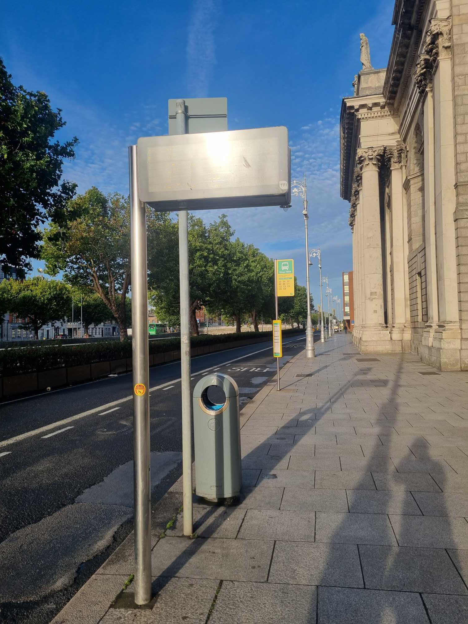 Taken by Anonymous
See Inns Quay stop, Dublin, on the map
Public transit to Inns Quay stop (ID: 7856) in Dublin
Looking for directions to Inns Quay in Dublin, Ireland?
Download the Moovit App to find the current schedule and step-by-step directions for Bus, Train or Light Rail routes that pass through Inns Quay.
Looking for the stops closest to Inns Quay? Check out this list of closest stops to your destination: Four Courts; Ormond Quay Upr; Ormond Quay Upper; Winetavern Street; Merchant's Quay; Bridge Street; High Street.
Bus: 15B, 39A, 4, 73, 77A, 80, C1, C3, G1, G2, 37, 39, 39X, 845, 847, 69, 69X, 836, 74, C2, C4, C5, 782, 23, 24, 60, DUBLIN CITY SOUTH, WESTMORELAND STREET - SAGGART,.Train: COMMUTER, DART, RAIL.Light Rail: RED.
We make riding on public transit to Inns Quay easy, which is why over 1.7 billion users, including users in Dublin, trust Moovit as the best app for public transit.
Use the app to navigate to popular places including to the airport, hospital, stadium, grocery store, mall, coffee shop, school, college, and university.
Inns Quay stop’s code is 7856
The first line to this stop is C2, at 03:02, and the last line is C6 at 02:43.
Inns Quay, Dublin, Ireland
This stop serves Bus Átha Cliath – Dublin Bus’s lines
Popular routes from Inns Quay stop, Dublin
- Four Courts,
- Ormond Quay Upr,
- Ormond Quay Upper,
- Winetavern Street,
- Merchant's Quay,
- Bridge Street,
- High Street
Bus stops near Inns Quay stop
- Four Courts
Light Rail station near Inns Quay station
- Parnell Square East,
- Shielmartin Road,
- Cashel Road,
- Newlands Cemetery,
- Maghera Cross Roads,
- The 3arena (Point Depot),
- Mac Uilliam,
- Wellington Road,
- St Fin Barre's Cath,
- Orwell Grove,
- Saint Anne's Park,
- Airport Zone 13,
- Terenure Lbry,
- Kent Station,
- Dolphin House,
- Eglinton Road,
- Dunawley Dr,
- Grnd Canal Quay,
- Church Street,
- Bower School