How to get to Innspurten by bus?
Click on the bus route to see step by step directions with maps, line arrival times and updated time schedules.
From Frogner Park, Oslo
45 minFrom Quality Hotel Expo Fornebu, Bærum
45 minFrom Nordby, Oslo
90 minFrom Scandic Fornebu, Bærum
51 minFrom Sognsvannsveien 20, Oslo
40 minFrom Quality Hotel Expo, Bærum
48 minFrom Holmenkollen Park Hotel, Oslo
76 minFrom Fjellhamar, Lørenskog
32 minFrom Rustad Skole, Oslo
44 min
How to get to Innspurten by train?
Click on the train route to see step by step directions with maps, line arrival times and updated time schedules.
How to get to Innspurten by subway?
Click on the subway route to see step by step directions with maps, line arrival times and updated time schedules.
Bus stops near Innspurten in Oslo
Subway station near Innspurten in Oslo
- Helsfyr, 5 min walk,VIEW
Bus lines to Innspurten in Oslo
- 23, Lysaker,VIEW
- 24, Radiumhospitalet,VIEW
- 21, Tjuvholmen - Helsfyr T,VIEW
- 66, Helsfyr T - Grorud T,VIEW
- 68, Helsfyr T - Grorud T via Alfaset,VIEW
- 76, Helsfyr T - Mortensrud T,VIEW
- 2N, Østerås T - Ellingsrudåsen,VIEW
- 3N, Jernbanetorget - Skullerud T,VIEW
- 4B, Buss for linje 4,VIEW
- 4N, Jernbanetorget - Bergkrystallen T,VIEW
- FB5, Oslo sentrum via Helsfyr-Hasle-Bislett,VIEW
- 20, Skøyen - Galgeberg,VIEW
- 100, Kjeller - Oslo bussterminal,VIEW
- 110, Lillestrøm - Oslo bussterminal,VIEW
- 110E, Sørlihavna - Helsfyr,VIEW
- 115E, Vallerudtoppen - Helsfyr,VIEW
- VY123, VY123 Elverum-Oslo,VIEW
- 300, Blystadlia - Ahus - Oslo bussterminal,VIEW
- 300E, Ekspress Blystadlia - Helsfyr,VIEW
- 375, Strømmen - Olavsgaard - Helsfyr,VIEW
What are the closest stations to Innspurten?
The closest stations to Innspurten are:
- Valle Hovin is 272 meters away, 4 min walk.
- Helsfyr is 349 meters away, 5 min walk.
- Helsfyr T is 368 meters away, 5 min walk.
- Valle is 545 meters away, 8 min walk.
Which bus lines stop near Innspurten?
These bus lines stop near Innspurten: 21, 23, 300.
Which train line stops near Innspurten?
L1 (Lillestrøm)
Which subway lines stop near Innspurten?
These subway lines stop near Innspurten: 1, 3.
What’s the nearest subway station to Innspurten in Oslo?
The nearest subway station to Innspurten in Oslo is Helsfyr. It’s a 5 min walk away.
What’s the nearest bus station to Innspurten in Oslo?
The nearest bus station to Innspurten in Oslo is Valle Hovin. It’s a 4 min walk away.
What time is the first subway to Innspurten in Oslo?
The 5 is the first subway that goes to Innspurten in Oslo. It stops nearby at 5:47 AM.
What time is the last subway to Innspurten in Oslo?
The 2 is the last subway that goes to Innspurten in Oslo. It stops nearby at 1:28 AM.
What time is the first bus to Innspurten in Oslo?
The 20 is the first bus that goes to Innspurten in Oslo. It stops nearby at 3:00 AM.
What time is the last bus to Innspurten in Oslo?
The FB5 is the last bus that goes to Innspurten in Oslo. It stops nearby at 2:48 AM.
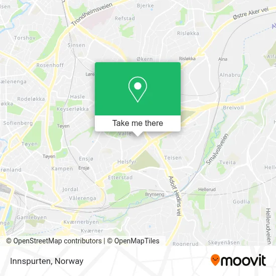
See Innspurten, Oslo, on the map
Public Transit to Innspurten in Oslo
Wondering how to get to Innspurten in Oslo? Moovit helps you find the best way to get to Innspurten with step-by-step directions from the nearest public transit station.
Moovit provides free maps and live directions to help you navigate through your city. View schedules, routes, timetables, and find out how long does it take to get to Innspurten in real time.
Looking for the nearest stop or station to Innspurten? Check out this list of stops closest to your destination: Valle Hovin; Helsfyr; Helsfyr T; Valle.
Bus: 21, 23, 300, 24, 66, 68, 76, 2N, 3N, 4B, 4N, FB5, 3B, NW130.Train: L1.Subway: 1, 3, 2, 4, 5.
Want to see if there’s another route that gets you there at an earlier time? Moovit helps you find alternative routes or times. Get directions from and directions to Innspurten easily from the Moovit App or Website.
We make riding to Innspurten easy, which is why over 1.5 million users, including users in Oslo, trust Moovit as the best app for public transit. You don’t need to download an individual bus app or train app, Moovit is your all-in-one transit app that helps you find the best bus time or train time available.
For information on prices of bus, subway and train, costs and ride fares to Innspurten, please check the Moovit app.
Use the app to navigate to popular places including to the airport, hospital, stadium, grocery store, mall, coffee shop, school, college, and university.
Innspurten Address: Innspurten, 0663 Oslo, Norway street in Oslo
- Intility Arena,
- Valle Hovin Videregående Skole,
- Valle Hovin,
- Gullhaug,
- Trewerket,
- Innspurten 12,
- Gap Vision,
- Lexmark Norge B.I.L.,
- Grefsenkollveien 16,
- Innspurten 15,
- Vallhall,
- Helsfyr Atrium,
- Miniøya,
- Stian Renovering Jansen,
- Teisenkrysset (B),
- Valle Hovin Idretts- og Konsertstadion,
- Vålerenga Stadion,
- Vallhall Arena,
- Elektro Nettverk Service,
- Valle Dagsenter for Eldre
Places Near Innspurten (Oslo)
- Ulriken, Bergen,
- Rikshospitalet (trikk), Oslo,
- Haukeland Universitetssjukehus, Bergen,
- Color Line Terminal, Oslo,
- Radiumhospitalet, Oslo,
- DFDS Seaways, Oslo,
- Bjerke Travbane, Oslo,
- IKEA, Oslo,
- Ullevål Stadion (T), Oslo,
- Nylandsbrua, Oslo,
- Tyholttårnet, Trondheim,
- Voldsløkka, Oslo,
- Jekta Storsenter, Tromsø,
- Lovisenberg Diakonale Sykehus, Oslo,
- IKEA, Bergen,
- Oslo S spor 19 (Trelastgata), Oslo,
- Vestby Outlet Store, Vestby,
- Drammen Sykehus, Drammen,
- Ikea Leangen, Trondheim,
- Quality Hotel Edvard Grieg, Bergen
How to get to popular places in Norway with public transit
Get around Oslo by public transit!
Traveling around Oslo has never been so easy. See step by step directions as you travel to any attraction, street or major public transit station. View bus and train schedules, arrival times, service alerts and detailed routes on a map, so you know exactly how to get to anywhere in Oslo.
When traveling to any destination around Oslo use Moovit's Live Directions with Get Off Notifications to know exactly where and how far to walk, how long to wait for your line, and how many stops are left. Moovit will alert you when it's time to get off — no need to constantly re-check whether yours is the next stop.
Wondering how to use public transit in Oslo or how to pay for public transit in Oslo? Moovit public transit app can help you navigate your way with public transit easily, and at minimum cost. It includes public transit fees, ticket prices, and costs. Looking for a map of Oslo public transit lines? Moovit public transit app shows all public transit maps in Oslo with all Bus, Train, Subway, Light Rail, Ferry and Cable Car routes and stops on an interactive map.
Norway has 6 transit type(s), including: Bus, Train, Subway, Light Rail, Ferry and Cable Car, operated by several transit agencies, including Ruter, Skyss, AtB, Flytoget, Vy Tåg, SJ, Go-Ahead Norge AS, SJ Nord, Vestfold Kollektivtrafikk as, Snelandia, Innlandstrafikk, FRAM, FlixBus, Kolumbus and Brakar