Directions to Inova-Dent (Ocoyucan) with public transportation
The following transit lines have routes that pass near Inova-Dent
How to get to Inova-Dent by bus?
Click on the bus route to see step by step directions with maps, line arrival times and updated time schedules.
From Caseta, Puebla
56 minFrom La Antigua Cementera, San Pedro Cholula
60 minFrom Camión Directo Puebla-Cholula, San Andrés Cholula
29 minFrom Home Depot, Puebla
51 minFrom IMSS UMF 55, Puebla
57 minFrom Clinica Issste Capu, San Pedro Cholula
51 minFrom Áfricam Safari, Puebla
55 minFrom Escuela Secundaria Federal No. 1 Presidente Cárdenas, Puebla
44 minFrom Kromberg & Schubert Kundencenter NAFTA, Ocoyucan
29 minFrom Ciudad Satélite, Puebla
54 min
Bus stops near Inova-Dent in Ocoyucan
Bus lines to Inova-Dent in Ocoyucan
- TRANSPORTE NOCTURNO, Paseo Bravo - Hospital General (Circular),VIEW
- RUTA REMANENTE 2, Ramal 1, Inf. San Jorge - San Felipe Hueyotlipan,VIEW
- RUTA 8, Ramal 2, San José Chapulco - Barrio De Santiago,VIEW
- RUTA 33, Ramal 3, Los Héroes Puebla - Reserva Territorial Atlixcáyotl,VIEW
- RUTA 55, Ramal 2, La Margarita - Concepción La Cruz (Regreso),VIEW
- A302, Los Héroes - 14 Sur - Buap,VIEW
- RUTA 72 - 14 SUR, Ramal 2 Xilotzingo - Los Héroes De Puebla (Regreso),VIEW
- A32, Paradero Torrecillas - Héroes,VIEW
What are the closest stations to Inova-Dent?
The closest stations to Inova-Dent are:
- Prolongación De La 14 Sur, 10106 is 35 meters away, 1 min walk.
- Prolongación De La 14 Sur, 10109 is 58 meters away, 1 min walk.
Which bus lines stop near Inova-Dent?
These bus lines stop near Inova-Dent: RUTA 33, RUTA 72 - 14 SUR.
What’s the nearest bus station to Inova-Dent in Ocoyucan?
The nearest bus stations to Inova-Dent in Ocoyucan are Prolongación De La 14 Sur, 10106 and Prolongación De La 14 Sur, 10109. The closest one is a 1 min walk away.
What time is the first bus to Inova-Dent in Ocoyucan?
The TRANSPORTE NOCTURNO is the first bus that goes to Inova-Dent in Ocoyucan. It stops nearby at 3:29 AM.
What time is the last bus to Inova-Dent in Ocoyucan?
The TRANSPORTE NOCTURNO is the last bus that goes to Inova-Dent in Ocoyucan. It stops nearby at 2:30 AM.
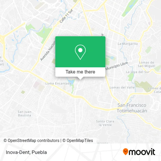
See Inova-Dent, Ocoyucan, on the map
Public Transit to Inova-Dent in Ocoyucan
Wondering how to get to Inova-Dent in Ocoyucan? Moovit helps you find the best way to get to Inova-Dent with step-by-step directions from the nearest public transit station.
Moovit provides free maps and live directions to help you navigate through your city. View schedules, routes, timetables, and find out how long does it take to get to Inova-Dent in real time.
Looking for the nearest stop or station to Inova-Dent? Check out this list of stops closest to your destination: Prolongación De La 14 Sur; Prolongación De La 14 Sur.
Bus: RUTA 33, RUTA 72 - 14 SUR, TRANSPORTE NOCTURNO, RUTA REMANENTE 2, RUTA 8, RUTA 55, A32.
Want to see if there’s another route that gets you there at an earlier time? Moovit helps you find alternative routes or times. Get directions from and directions to Inova-Dent easily from the Moovit App or Website.
We make riding to Inova-Dent easy, which is why over 1.5 million users, including users in Ocoyucan, trust Moovit as the best app for public transit. You don’t need to download an individual bus app or train app, Moovit is your all-in-one transit app that helps you find the best bus time or train time available.
For information on prices of bus, costs and ride fares to Inova-Dent, please check the Moovit app.
Use the app to navigate to popular places including to the airport, hospital, stadium, grocery store, mall, coffee shop, school, college, and university.
Inova-Dent Address: Prolongación 14 Sur 9912, Granjas San Isidro, 72587 Puebla, Puebla street in Ocoyucan
- Miriam,
- Hamburguesas Lupitas,
- Dulceria Leoncito,
- Taqueria El Primo,
- Estetica Giovana,
- Cemitas,
- Salón de Fiestas El Rincón del Ángel,
- Mariscos,
- Francis Pizza,
- Jardín de Niños Agustín Melgar,
- Juan Morales Merino,
- Ferrari,
- Fesad Recarga de Cartuchos de Impresora,
- Venta de Materiales para Construccion La Luz,
- Molucas Venta de Materia Prima para Frituras,
- Dulceria con Materias Primas,
- Recauderia Lupita,
- Filtros y Lubricantes de la 14,
- Ferreteria Truper Acrimex,
- Eventos El Rincón del Ángel
Places Near Inova-Dent (Ocoyucan)
- Parque Ecologico, Pue., San Andrés Cholula,
- Estadio Cuauhtémoc, Puebla,
- Tres Cruces, Puebla,
- Plaza Las Animas, Puebla,
- Parque Puebla, Puebla,
- Centro Comercial Angelópolis, San Andrés Cholula,
- Zona de los Fuertes, Puebla,
- Hospital Traumatología y Ortopedia de Puebla, San Pedro Cholula,
- SAT, San Andrés Cholula,
- Secretaria de Finanzas, Puebla,
- Ciudad Universitaria, Puebla,
- Plaza Dorada Centro Comercial, Puebla,
- Galerías Serdán, San Pedro Cholula,
- Hospital General Regional 36 IMSS San Alejandro, San Andrés Cholula,
- Centro Integral de Servicios CIS, San Andrés Cholula,
- Ciudad Judicial del Estado de Puebla, San Andrés Cholula,
- Hospital Imss La Margarita, Puebla,
- 25 Zona Militar, Puebla,
- Complejo Cultural Universitario, Ocoyucan,
- Centro de Desarrollo Comunitario Tres Cruces, Puebla
How to get to popular places in Puebla with public transit
Get around Ocoyucan by public transit!
Traveling around Ocoyucan has never been so easy. See step by step directions as you travel to any attraction, street or major public transit station. View bus and train schedules, arrival times, service alerts and detailed routes on a map, so you know exactly how to get to anywhere in Ocoyucan.
When traveling to any destination around Ocoyucan use Moovit's Live Directions with Get Off Notifications to know exactly where and how far to walk, how long to wait for your line, and how many stops are left. Moovit will alert you when it's time to get off — no need to constantly re-check whether yours is the next stop.
Wondering how to use public transit in Ocoyucan or how to pay for public transit in Ocoyucan? Moovit public transit app can help you navigate your way with public transit easily, and at minimum cost. It includes public transit fees, ticket prices, and costs. Looking for a map of Ocoyucan public transit lines? Moovit public transit app shows all public transit maps in Ocoyucan with all bus routes and stops on an interactive map.
Puebla has 1 transit type(s), including: bus, operated by several transit agencies, including RUTA, RUTA Alimentadoras, Rutas Convencionales and Líneas temporales