How to get to Insight Logistics by bus?
Click on the bus route to see step by step directions with maps, line arrival times and updated time schedules.
From University of Indianapolis (UINDY), Indianapolis City (Balance)
75 minFrom Outsourced Controllership Group CPA's, Indianapolis City (Balance)
40 minFrom Hydrogreen Irrigation Services, Indianapolis City (Balance)
48 minFrom The Roofing and Gutters Company, Indianapolis City (Balance)
61 minFrom 534 Virginia Ave Parking, Indianapolis City (Balance)
46 minFrom Green Men Restoration, Indianapolis City (Balance)
54 minFrom Dalpon Lawncare, Indianapolis City (Balance)
67 minFrom Greyhound Bus, Indianapolis City (Balance)
37 minFrom Rockitcoin, Indianapolis City (Balance)
103 minFrom Lee Drywall, Indianapolis
78 min
Bus stop near Insight Logistics in Indianapolis City (Balance)
- Washington St & Auburn St, 1 min walk,VIEW
Bus lines to Insight Logistics in Indianapolis City (Balance)
- 8, Shortridge Rd,VIEW
What are the closest stations to Insight Logistics?
The closest stations to Insight Logistics are:
- Washington St & Auburn St is 51 yards away, 1 min walk.
Which bus lines stop near Insight Logistics?
These bus lines stop near Insight Logistics: 24, 8.
What’s the nearest bus station to Insight Logistics in Indianapolis City (Balance)?
The nearest bus station to Insight Logistics in Indianapolis City (Balance) is Washington St & Auburn St. It’s a 1 min walk away.
What time is the first bus to Insight Logistics in Indianapolis City (Balance)?
The 8 is the first bus that goes to Insight Logistics in Indianapolis City (Balance). It stops nearby at 5:15 AM.
What time is the last bus to Insight Logistics in Indianapolis City (Balance)?
The 8 is the last bus that goes to Insight Logistics in Indianapolis City (Balance). It stops nearby at 12:18 AM.
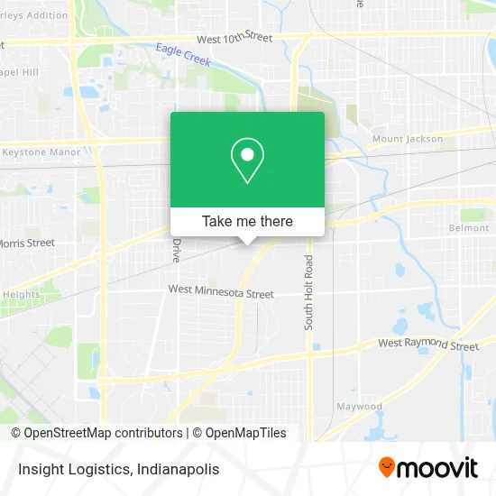
See Insight Logistics, Indianapolis City (Balance), on the map
Public Transit to Insight Logistics in Indianapolis City (Balance)
Wondering how to get to Insight Logistics in Indianapolis City (Balance)? Moovit helps you find the best way to get to Insight Logistics with step-by-step directions from the nearest public transit station.
Moovit provides free maps and live directions to help you navigate through your city. View schedules, routes, timetables, and find out how long does it take to get to Insight Logistics in real time.
Looking for the nearest stop or station to Insight Logistics? Check out this list of stops closest to your destination: Washington St & Auburn St.
Bus: 24, 8.
Want to see if there’s another route that gets you there at an earlier time? Moovit helps you find alternative routes or times. Get directions from and directions to Insight Logistics easily from the Moovit App or Website.
We make riding to Insight Logistics easy, which is why over 1.5 million users, including users in Indianapolis City (Balance), trust Moovit as the best app for public transit. You don’t need to download an individual bus app or train app, Moovit is your all-in-one transit app that helps you find the best bus time or train time available.
For information on prices of bus, costs and ride fares to Insight Logistics, please check the Moovit app.
Use the app to navigate to popular places including to the airport, hospital, stadium, grocery store, mall, coffee shop, school, college, and university.
Insight Logistics Address: 4409 W Morris St street in Indianapolis City (Balance)
- Wayne Township Bus Depot,
- Sissa's Snack Shack,
- Exit 77/Holt Rd/E,
- Amy's Daycare,
- Lulos Tree Service,
- Iglesia Hispana Adventista Del Séptimo Día Indianápolis,
- Crown Liquors,
- RDZ Auto Repar,
- Millwrights Machinery Movers & Erectors Local Union No 1003,
- CMR Insurance & Services,
- Tattoos by Caleb Thomas,
- DE PROOF MOTORS,
- Russ's Furniture & Appliances,
- Rivera Mechanic Shop,
- Taqueria Said,
- Master Cars,
- R & S Sewer Cleaning ,
- Rose Paving Indianapolis,
- S Auburn St & W Washington St,
- Tienda de Regalos Y Ma
Places Near Insight Logistics (Indianapolis City (Balance))
- Plainfield, IN, Plainfield,
- Lucas Oil Stadium, Indianapolis City (Balance),
- Indiana, Indianapolis City (Balance),
- Train Ride At Castleton Mall, Indianapolis City (Balance),
- Jersey Barn, Indianapolis City (Balance),
- Indianapolis Motor Speedway, Speedway,
- St. Vincent Hospital - Indianapolis, Indianapolis City (Balance),
- Cotter's Massage Parlor With Happy Endings, Indianapolis City (Balance),
- 119 W 19th St Parking, Indianapolis City (Balance),
- Lilly Corporate Center (Eli Lilly & Co), Indianapolis City (Balance),
- Methodist Hospital of Indianapolis, Indianapolis City (Balance),
- I U Health Methodist Hospital, Indianapolis City (Balance),
- Eskenazi Hospital, Indianapolis City (Balance),
- Indiana Convention Center, Indianapolis City (Balance),
- THE BALT, Indianapolis City (Balance),
- I-465 / I-65 Interchange, Indianapolis City (Balance),
- St. Vincent entrance #1, Indianapolis City (Balance),
- Gainbridge Fieldhouse, Indianapolis City (Balance),
- Castleton Square Mall, Indianapolis,
- Indianapolis Airport Zone 2, Indianapolis City (Balance)
How to get to popular places in Indianapolis with public transit
Get around Indianapolis City (Balance) by public transit!
Traveling around Indianapolis City (Balance) has never been so easy. See step by step directions as you travel to any attraction, street or major public transit station. View bus and train schedules, arrival times, service alerts and detailed routes on a map, so you know exactly how to get to anywhere in Indianapolis City (Balance).
When traveling to any destination around Indianapolis City (Balance) use Moovit's Live Directions with Get Off Notifications to know exactly where and how far to walk, how long to wait for your line, and how many stops are left. Moovit will alert you when it's time to get off — no need to constantly re-check whether yours is the next stop.
Wondering how to use public transit in Indianapolis City (Balance) or how to pay for public transit in Indianapolis City (Balance)? Moovit public transit app can help you navigate your way with public transit easily, and at minimum cost. It includes public transit fees, ticket prices, and costs. Looking for a map of Indianapolis City (Balance) public transit lines? Moovit public transit app shows all public transit maps in Indianapolis City (Balance) with all bus routes and stops on an interactive map.
Indianapolis has 1 transit type(s), including: bus, operated by several transit agencies, including IndyGo, FlixBus-us and Greyhound-us