Directions to Institute (Berkshire) with public transportation
The following transit lines have routes that pass near Institute
 Bus: PURPLE LINE.
How to get to Institute by bus?
Click on the bus route to see step by step directions with maps, line arrival times and updated time schedules.
From Trafton Web Designs, Bennington
45 minFrom Monument Vintage A, Bennington
25 minFrom DMV Branch Office, Bennington
28 minFrom Southwestern Vermont Medical Center, Bennington
43 minFrom Pownal Fire Dept, Bennington
16 minFrom Lachant Fitness, Bennington
42 minFrom Gallagher Insurance, Risk Management & Consulting, Bennington
27 minFrom Marat Mitelman, MD, Bennington
45 minFrom Bennington, VT, Bennington
25 minFrom Katie E. Gulley, Msn, Aprn, Bennington
45 min
Bus stop near Institute in Berkshire
- Community Bible Church, 1 min walk,VIEW
Bus lines to Institute in Berkshire
- PURPLE LINE, Field Park,VIEW
What are the closest stations to Institute?
The closest stations to Institute are:
- Community Bible Church is 20 yards away, 1 min walk.
Which bus line stops near Institute?
PURPLE LINE (Bus Terminal at 215 Pleasant St.→Field Park)
What’s the nearest bus station to Institute in Berkshire?
The nearest bus station to Institute in Berkshire is Community Bible Church. It’s a 1 min walk away.
What time is the first bus to Institute in Berkshire?
The PURPLE LINE is the first bus that goes to Institute in Berkshire. It stops nearby at 7:19 AM.
What time is the last bus to Institute in Berkshire?
The PURPLE LINE is the last bus that goes to Institute in Berkshire. It stops nearby at 3:30 PM.
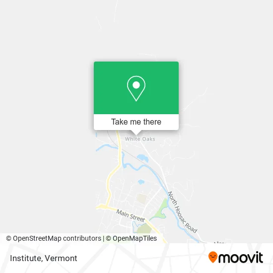
See Institute, Berkshire, on the map
Public Transit to Institute in Berkshire
Wondering how to get to Institute in Berkshire? Moovit helps you find the best way to get to Institute with step-by-step directions from the nearest public transit station.
Moovit provides free maps and live directions to help you navigate through your city. View schedules, routes, timetables, and find out how long does it take to get to Institute in real time.
Looking for the nearest stop or station to Institute? Check out this list of stops closest to your destination: Community Bible Church.
Bus: PURPLE LINE.
Want to see if there’s another route that gets you there at an earlier time? Moovit helps you find alternative routes or times. Get directions from and directions to Institute easily from the Moovit App or Website.
We make riding to Institute easy, which is why over 1.5 million users, including users in Berkshire, trust Moovit as the best app for public transit. You don’t need to download an individual bus app or train app, Moovit is your all-in-one transit app that helps you find the best bus time or train time available.
For information on prices of bus, costs and ride fares to Institute, please check the Moovit app.
Use the app to navigate to popular places including to the airport, hospital, stadium, grocery store, mall, coffee shop, school, college, and university.
Institute Address: 151 Bridges Rd Williamstown, MA 01267 street in Berkshire
- Broad Brook Park,
- next,
- Od Auto,
- Norr E. Hashem, do,
- Reija M. Rawle, MD, MS,
- Allison P. Niemi, MD,
- Shauna O. Dunton, MD,
- Green Mountain Race Track,
- William L Brown Jr,
- American Legion Post 90 Pownal Vermont,
- Shagbark Hickory Syrup,
- Pownal Valley Fire Department - Central Station,
- Equinox Tactical Supply,
- Tam Recycling,
- Kelson Electric,
- Pownal UMC,
- Junction Cafe,
- Town of Pownal,
- Pownal Fire Dept,
- Mountainside Therapeutic Massage
Places Near Institute (Berkshire)
- Castleton, VT, Rutland,
- MVU,
- Missisquoi River Basin Association,
- Waterbury, VT,
- Castleton University, Rutland,
- Xxxxxxxxxxxxx, Chittenden,
- Barre, VT,
- Hannaford, Rutland,
- Derby Line Stanstead Border Crossing,
- University of Vermont Medical Center - Fanny Allen Campus, Chittenden,
- Ecco,
- Richford Auto,
- WXXX, Chittenden,
- Springfield, VT, Windsor,
- Champlain Valley Exposition, Chittenden,
- Spring Step,
- Dartmouth-Hitchcock Medical Center, Clinical Systems, Grafton,
- Sugarbush Resort,
- Rutland, VT, Rutland,
- GLOBALFOUNDRIES, Chittenden
How to get to popular places in Vermont with public transit
Get around Berkshire by public transit!
Traveling around Berkshire has never been so easy. See step by step directions as you travel to any attraction, street or major public transit station. View bus and train schedules, arrival times, service alerts and detailed routes on a map, so you know exactly how to get to anywhere in Berkshire.
When traveling to any destination around Berkshire use Moovit's Live Directions with Get Off Notifications to know exactly where and how far to walk, how long to wait for your line, and how many stops are left. Moovit will alert you when it's time to get off — no need to constantly re-check whether yours is the next stop.
Wondering how to use public transit in Berkshire or how to pay for public transit in Berkshire? Moovit public transit app can help you navigate your way with public transit easily, and at minimum cost. It includes public transit fees, ticket prices, and costs. Looking for a map of Berkshire public transit lines? Moovit public transit app shows all public transit maps in Berkshire with all Bus, Train and Ferry routes and stops on an interactive map.
Vermont has 3 transit type(s), including: Bus, Train and Ferry, operated by several transit agencies, including Green Mountain Transit, Wilmington MOOver, Advance Transit, Vermont Translines, Rockingham MOOver, The Bus (Marble Valley Regional Transit District), Green Mountain Express, Rural Community Transportation, Addison County Transit Resources, Stagecoach Transportation Services, Amtrak, Greyhound-us, Dartmouth Campus Connector and Lake Champlain Ferries