How to get to Integrated Systems Technology by bus?
Click on the bus route to see step by step directions with maps, line arrival times and updated time schedules.
From Saint Barnabas Medical Center, Livingston
36 minFrom Bloomfield, NJ, Bloomfield
47 minFrom Hudson County Courthouse, Jersey City
64 minFrom Nutley, NJ, Nutley
61 minFrom Jersey Gardens, Elizabeth
59 minFrom 51, Jersey City
61 minFrom Walmart, Jersey City
72 minFrom IKEA Elizabeth Shuttle Bus To Manhattan, Elizabeth
43 minFrom Journal Square, Jersey City
61 minFrom Community Lines, Jersey City
43 min
How to get to Integrated Systems Technology by train?
Click on the train route to see step by step directions with maps, line arrival times and updated time schedules.
Bus stops near Integrated Systems Technology in Newark
Light Rail stations near Integrated Systems Technology in Newark
- Warren Street Light Rail Station, 10 min walk,VIEW
Bus lines to Integrated Systems Technology in Newark
- 71, Fairfield Loop Via Henderson,VIEW
- 73, I-280 Express Newark Via Eisenhower Parkway,VIEW
- 79, X Newark,VIEW
- 99, Clifton Ave Newark Lt Rail Branch Brook Park Station,VIEW
- 24, E Eliz Jrsy Gardens Via Scotland & Eliz Av,VIEW
- 44, Orange Rail Station Via Tremont & Va Hospital,VIEW
- 21, Main Street West Orange,VIEW
- 34, B Bloomfield,VIEW
What are the closest stations to Integrated Systems Technology?
The closest stations to Integrated Systems Technology are:
- Warren St at Cornerstone Ln is 101 yards away, 2 min walk.
- Norfolk St at Warren St is 289 yards away, 4 min walk.
- Central Ave at Lock St is 373 yards away, 5 min walk.
- W Market St at Wickliffe St is 412 yards away, 6 min walk.
- Warren Street Light Rail Station is 738 yards away, 10 min walk.
Which bus lines stop near Integrated Systems Technology?
These bus lines stop near Integrated Systems Technology: 24, 34, 72, 73, 99.
Which train lines stop near Integrated Systems Technology?
These train lines stop near Integrated Systems Technology: MEL, ML, RED.
Which light rail line stops near Integrated Systems Technology?
NLR (Grove Street)
What’s the nearest light rail station to Integrated Systems Technology in Newark?
The nearest light rail station to Integrated Systems Technology in Newark is Warren Street Light Rail Station. It’s a 10 min walk away.
What’s the nearest bus station to Integrated Systems Technology in Newark?
The nearest bus station to Integrated Systems Technology in Newark is Warren St at Cornerstone Ln. It’s a 2 min walk away.
What time is the first light rail to Integrated Systems Technology in Newark?
The NLR is the first light rail that goes to Integrated Systems Technology in Newark. It stops nearby at 4:24 AM.
What time is the last light rail to Integrated Systems Technology in Newark?
The NLR is the last light rail that goes to Integrated Systems Technology in Newark. It stops nearby at 1:21 AM.
What time is the first bus to Integrated Systems Technology in Newark?
The 34 is the first bus that goes to Integrated Systems Technology in Newark. It stops nearby at 4:33 AM.
What time is the last bus to Integrated Systems Technology in Newark?
The 34 is the last bus that goes to Integrated Systems Technology in Newark. It stops nearby at 2:34 AM.
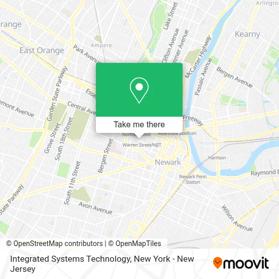
See Integrated Systems Technology, Newark, on the map
Public Transit to Integrated Systems Technology in Newark
Wondering how to get to Integrated Systems Technology in Newark? Moovit helps you find the best way to get to Integrated Systems Technology with step-by-step directions from the nearest public transit station.
Moovit provides free maps and live directions to help you navigate through your city. View schedules, routes, timetables, and find out how long does it take to get to Integrated Systems Technology in real time.
Looking for the nearest stop or station to Integrated Systems Technology? Check out this list of stops closest to your destination: Warren St at Cornerstone Ln; Norfolk St at Warren St; Central Ave at Lock St; W Market St at Wickliffe St; Warren Street Light Rail Station.
Bus: 24, 34, 72, 73, 99, 71, 79, 44, 21.Train: MEL, ML, RED.Light Rail: NLR.
Want to see if there’s another route that gets you there at an earlier time? Moovit helps you find alternative routes or times. Get directions from and directions to Integrated Systems Technology easily from the Moovit App or Website.
We make riding to Integrated Systems Technology easy, which is why over 1.7 million users, including users in Newark, trust Moovit as the best app for public transit. You don’t need to download an individual bus app or train app, Moovit is your all-in-one transit app that helps you find the best bus time or train time available.
For information on prices of bus, train and light rail, costs and ride fares to Integrated Systems Technology, please check the Moovit app.
Use the app to navigate to popular places including to the airport, hospital, stadium, grocery store, mall, coffee shop, school, college, and university.
Integrated Systems Technology Address: 211 Warren St street in Newark
- NJII,
- Oca Architects, Inc.,
- Siddha Vetha Center For Transdiciplinary Studies,
- S&A Technologies,
- Ispeech.Org,
- Tricia Lubrano, Realtor at Hubert & Co.,
- Hubert and Co.,
- Bridge Builders Newark,
- N&R Divine Cleaning Services Llc,
- Camillia Taylor, Hubert & Co.,
- Priority Group Services Llc,
- Healthcare Innovation Solutions,
- 7th and Madison Extensions Of Empowerment,
- Usable Tech Co - Formerly Lch,
- Townsend Floyd D Cpa,
- Marco Health Inc.,
- League Network,
- Sarah Ward Nursery Day Care,
- Pty Inc,
- Business Learning Tree
Places Near Integrated Systems Technology (Newark)
- SoHo, Manhattan,
- Queens Center Mall, Queens,
- 26 Federal Plaza, Manhattan,
- 66 John Street, Manhattan,
- qqqq, Manhattan,
- Wall Street, Manhattan,
- Katz's Deli, Manhattan,
- 1 Police Plaza, Manhattan,
- Bellevue Hospital, Manhattan,
- 111 Centre New York City Supreme Court, Manhattan,
- Mountainside Hospital, Glen Ridge,
- Times Square, Manhattan,
- Rockefeller Center, Manhattan,
- 911 Memorial, Manhattan,
- Hudson Yards, Manhattan,
- 376 Hudson Street, Manhattan,
- San Gennaro Feast, Manhattan,
- Chinatown, Manhattan,
- Pier 83, Manhattan,
- 3 Stone St, Manhattan
How to get to popular places in New York - New Jersey with public transit
Get around Newark by public transit!
Traveling around Newark has never been so easy. See step by step directions as you travel to any attraction, street or major public transit station. View bus and train schedules, arrival times, service alerts and detailed routes on a map, so you know exactly how to get to anywhere in Newark.
When traveling to any destination around Newark use Moovit's Live Directions with Get Off Notifications to know exactly where and how far to walk, how long to wait for your line, and how many stops are left. Moovit will alert you when it's time to get off — no need to constantly re-check whether yours is the next stop.
Wondering how to use public transit in Newark or how to pay for public transit in Newark? Moovit public transit app can help you navigate your way with public transit easily, and at minimum cost. It includes public transit fees, ticket prices, and costs. Looking for a map of Newark public transit lines? Moovit public transit app shows all public transit maps in Newark with all Bus, Train, Subway, Light Rail, Ferry and Cable Car routes and stops on an interactive map.
New York - New Jersey has 6 transit type(s), including: Bus, Train, Subway, Light Rail, Ferry and Cable Car, operated by several transit agencies, including MTA Subway, Metro-North Railroad, LIRR, PATH, MTA New York City Transit - Express routes, MTA Bus, NJ Transit, NYC Ferry, NICE bus, Bee-Line Bus, NJ Transit Rail, Norwalk Transit District, Hartford Line, River Valley Transit and HART