How to get to Interactive Map Search by bus?
Click on the bus route to see step by step directions with maps, line arrival times and updated time schedules.
From Patricia and Phillip Frost Museum of Science, Miami
58 minFrom Jackson Memorial Hospital, Miami
55 minFrom Eden Roc Miami Beach, Miami Beach
63 minFrom Overtown, Miami
59 minFrom Imater Academy Charter Middle/High School, Hialeah
87 minFrom Club Space, Miami
53 minFrom Haulover Beach, Miami Beach
66 minFrom Uhealth Tower, Miami
56 minFrom Uhealth Sole Mia Medical Center - Parking Garage, Miami
63 minFrom Miami VA Hospital, Miami
60 min
Bus stops near Interactive Map Search in Miami
Bus lines to Interactive Map Search in Miami
What are the closest stations to Interactive Map Search?
The closest stations to Interactive Map Search are:
- N Miami Av @ Nw 106 St is 773 yards away, 10 min walk.
- Ne 2 Av & Ne 109 St is 963 yards away, 12 min walk.
- Nw 7 Av @ Nw 111 St is 1103 yards away, 14 min walk.
Which bus lines stop near Interactive Map Search?
These bus lines stop near Interactive Map Search: 125, 77, 9.
What’s the nearest bus station to Interactive Map Search in Miami?
The nearest bus station to Interactive Map Search in Miami is N Miami Av @ Nw 106 St. It’s a 10 min walk away.
What time is the first bus to Interactive Map Search in Miami?
The 77 is the first bus that goes to Interactive Map Search in Miami. It stops nearby at 3:10 AM.
What time is the last bus to Interactive Map Search in Miami?
The 77 is the last bus that goes to Interactive Map Search in Miami. It stops nearby at 3:20 AM.
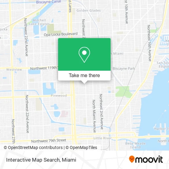
See Interactive Map Search, Miami, on the map
Public Transit to Interactive Map Search in Miami
Wondering how to get to Interactive Map Search in Miami? Moovit helps you find the best way to get to Interactive Map Search with step-by-step directions from the nearest public transit station.
Moovit provides free maps and live directions to help you navigate through your city. View schedules, routes, timetables, and find out how long does it take to get to Interactive Map Search in real time.
Looking for the nearest stop or station to Interactive Map Search? Check out this list of stops closest to your destination: N Miami Av @ Nw 106 St; Ne 2 Av & Ne 109 St; Nw 7 Av @ Nw 111 St.
Bus: 125, 77, 9, MSHEST.
Want to see if there’s another route that gets you there at an earlier time? Moovit helps you find alternative routes or times. Get directions from and directions to Interactive Map Search easily from the Moovit App or Website.
We make riding to Interactive Map Search easy, which is why over 1.5 million users, including users in Miami, trust Moovit as the best app for public transit. You don’t need to download an individual bus app or train app, Moovit is your all-in-one transit app that helps you find the best bus time or train time available.
For information on prices of bus and train, costs and ride fares to Interactive Map Search, please check the Moovit app.
Use the app to navigate to popular places including to the airport, hospital, stadium, grocery store, mall, coffee shop, school, college, and university.
Interactive Map Search Address: 10835 NW 2nd Ct Miami, FL 33168 street in Miami
- Aig Tax Consulting Services,
- Chester's Air Conditioning,
- La Voz de Salvacion,
- Expert Smiles Center I,
- Florida One Painting and Waterproofing,
- Dolphin Mall,
- Marinas Bar Restaurant,
- Benincasa Hall,
- Barry University Powers Hall,
- The Sfga Juniors Goalkeeper Training Program,
- Elelyon Kingdom Tabernacle,
- Adam and Eve Salon Suites,
- Fixmold,
- Destination Sport Miami,
- Hubert O Sibley K 8 Academy,
- MBC Napa Autocare Center,
- Bethel French Sda Church Miami,
- Bally Rent A Car,
- EZPAWN,
- Sebanda Insurance Corp - Franchise
Places Near Interactive Map Search (Miami)
- Miami Freedom Park, Miami,
- Aventura Mall, Miami,
- Port of Miami Cruise Terminal, Miami,
- Brickell City Centre, Miami,
- Keiser University Flagship Campus, West Palm Beach,
- Aventura Mall, Miami Beach,
- Wynwood, Miami,
- Dolphin Mall, Miami,
- Richard E. Gerstein Justice Building, Miami,
- Sawgrass Mall, Miami,
- Little Havana, Miami,
- Zoo Miami, Miami,
- Marlins Park, Miami,
- Bayside Marketplace, Miami,
- Miami Design District, Miami,
- Sawgrass mall ( FL ), Miami Beach,
- Dolphin Mall Bus, Miami,
- Miami VA Hospital, Miami,
- Miami-Dade County Courthouse, Miami,
- Hard Rock Stadium, Miami Gardens
How to get to popular places in Miami with public transit
Get around Miami by public transit!
Traveling around Miami has never been so easy. See step by step directions as you travel to any attraction, street or major public transit station. View bus and train schedules, arrival times, service alerts and detailed routes on a map, so you know exactly how to get to anywhere in Miami.
When traveling to any destination around Miami use Moovit's Live Directions with Get Off Notifications to know exactly where and how far to walk, how long to wait for your line, and how many stops are left. Moovit will alert you when it's time to get off — no need to constantly re-check whether yours is the next stop.
Wondering how to use public transit in Miami or how to pay for public transit in Miami? Moovit public transit app can help you navigate your way with public transit easily, and at minimum cost. It includes public transit fees, ticket prices, and costs. Looking for a map of Miami public transit lines? Moovit public transit app shows all public transit maps in Miami with all Bus, Train, Light Rail and Ferry routes and stops on an interactive map.
Miami has 4 transit type(s), including: Bus, Train, Light Rail and Ferry, operated by several transit agencies, including Broward County Transit, Miami-Dade Transit, Metrorail, Palm Tran, Tri-Rail, Brightline, MARTY, City of Homestead Trolley, Key West Transit, Treasure Coast Connector, GoLine IRT, Amtrak, Greyhound-us, FlixBus-us and Aventura Express Shuttle Bus