Bus stops near Intermex Wire Transfer in Harrisonburg
Bus lines to Intermex Wire Transfer in Harrisonburg
- Smokin' Q,
- Barbeque Ranch,
- Pro Style Haircutters,
- Cedar Stone Spa,
- Wholistic Wisdom Healing Center,
- Cedar Stone School of Massage,
- Sacred Stone Medicine,
- Navy Federal Credit Union,
- PNC Bank,
- ATM,
- Credit Union 1,
- Hi-Tec Hobbies,
- Turn-A-Leaf Lawn & Landscape,
- Pipe Organ Tuning Charlottsville,
- Paradise Energy Solutions, LLC,
- Jenkins Insurance & Financial Services,
- Rockingham Petroleum Co-OP,
- It Decisions,
- CATS Cradle,
- Wells Fargo
Places Near Intermex Wire Transfer (Harrisonburg)
- Washington National Cathedral, Washington,
- Camden Yards, Baltimore,
- Marriott Marquis Washington, DC, Washington,
- Georgetown, Washington,
- Rock Creek Tennis Center, Washington,
- National Museum of African American History and Culture, Washington,
- Pennsylvania Ave NW (3rd st and pennsylvania), Washington,
- Museum Of The Bible, Washington,
- Basilica of the National Shrine, Washington,
- Amazon Hq2, Arlington County,
- PG Mall, Prince George's County,
- Sibley Memorial Hospital, Washington,
- The Anthem, Washington,
- National Zoo, Washington,
- Washington DC VA Medical Center, Washington,
- Capital One Arena, Washington,
- Westfield Montgomery Mall, Montgomery County,
- M&T Bank Stadium, Baltimore,
- National Mall, Washington,
- Warner Theatre, Washington
How to get to popular places in Washington, D.C. - Baltimore, MD with public transit
What are the closest stations to Intermex Wire Transfer?
The closest stations to Intermex Wire Transfer are:
- South Main St. @ Pleasant Hill Rd. is 142 yards away, 2 min walk.
- Pleasant Hill Rd. @ Shenk Apartments is 616 yards away, 8 min walk.
- Pheasant Run (Shelter) is 640 yards away, 8 min walk.
Which bus line stops near Intermex Wire Transfer?
YELLOW (Godwin Transit Center)
What’s the nearest bus station to Intermex Wire Transfer in Harrisonburg?
The nearest bus station to Intermex Wire Transfer in Harrisonburg is South Main St. @ Pleasant Hill Rd.. It’s a 2 min walk away.
What time is the first bus to Intermex Wire Transfer in Harrisonburg?
The 4 is the first bus that goes to Intermex Wire Transfer in Harrisonburg. It stops nearby at 6:37 AM.
What time is the last bus to Intermex Wire Transfer in Harrisonburg?
The 4-B is the last bus that goes to Intermex Wire Transfer in Harrisonburg. It stops nearby at 10:29 PM.
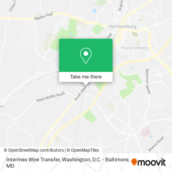
See Intermex Wire Transfer, Harrisonburg, on the map
Public Transit to Intermex Wire Transfer in Harrisonburg
Wondering how to get to Intermex Wire Transfer in Harrisonburg? Moovit helps you find the best way to get to Intermex Wire Transfer with step-by-step directions from the nearest public transit station.
Moovit provides free maps and live directions to help you navigate through your city. View schedules, routes, timetables, and find out how long does it take to get to Intermex Wire Transfer in real time.
Looking for the nearest stop or station to Intermex Wire Transfer? Check out this list of stops closest to your destination: South Main St. @ Pleasant Hill Rd.; Pleasant Hill Rd. @ Shenk Apartments; Pheasant Run (Shelter).
Bus: YELLOW, 4, 4-B, EXT 4, 3, 3-B, EXT 3.
Want to see if there’s another route that gets you there at an earlier time? Moovit helps you find alternative routes or times. Get directions from and directions to Intermex Wire Transfer easily from the Moovit App or Website.
We make riding to Intermex Wire Transfer easy, which is why over 1.5 million users, including users in Harrisonburg, trust Moovit as the best app for public transit. You don’t need to download an individual bus app or train app, Moovit is your all-in-one transit app that helps you find the best bus time or train time available.
For information on prices of bus and train, costs and ride fares to Intermex Wire Transfer, please check the Moovit app.
Use the app to navigate to popular places including to the airport, hospital, stadium, grocery store, mall, coffee shop, school, college, and university.
Intermex Wire Transfer Address: 1826 S Main St Harrisonburg, VA 22801 street in Harrisonburg
Get around Harrisonburg by public transit!
Traveling around Harrisonburg has never been so easy. See step by step directions as you travel to any attraction, street or major public transit station. View bus and train schedules, arrival times, service alerts and detailed routes on a map, so you know exactly how to get to anywhere in Harrisonburg.
When traveling to any destination around Harrisonburg use Moovit's Live Directions with Get Off Notifications to know exactly where and how far to walk, how long to wait for your line, and how many stops are left. Moovit will alert you when it's time to get off — no need to constantly re-check whether yours is the next stop.
Wondering how to use public transit in Harrisonburg or how to pay for public transit in Harrisonburg? Moovit public transit app can help you navigate your way with public transit easily, and at minimum cost. It includes public transit fees, ticket prices, and costs. Looking for a map of Harrisonburg public transit lines? Moovit public transit app shows all public transit maps in Harrisonburg with all Bus, Train, Metro, Light Rail and Ferry routes and stops on an interactive map.
Washington, D.C. - Baltimore, MD has 5 transit type(s), including: Bus, Train, Metro, Light Rail and Ferry, operated by several transit agencies, including WMATA, Montgomery County Ride On, Fairfax Connector, TheBus, PRTC, DASH - Alexandria, Arlington Transit (ART), RTA of Central Maryland, MDOT MTA, MDOT MTA Light RailLink, MDOT MTA Commuter Bus, MDOT MTA Local Bus, FXBGO!, Virginia Railway Express (VRE) and MARC