How to get to Intoxalock Ignition Interlock by bus?
Click on the bus route to see step by step directions with maps, line arrival times and updated time schedules.
From Bepxxx, Fort Lauderdale
59 minFrom Tamarac, Coral Springs-Margate
58 minFrom AAA Century Appliance, Plantation
78 minFrom Universal Injury Group, Fort Lauderdale
57 minFrom N Federal Hwy, Fort Lauderdale
56 minFrom W Commercial Blvd & 441 (SR 7), Fort Lauderdale
28 minFrom City of Oakland Park, Fort Lauderdale
77 minFrom Kamal Singh, Plantation
71 minFrom Holy Cross Hospital, Fort Lauderdale
60 minFrom Northeast High School, Fort Lauderdale
75 min
Bus stops near Intoxalock Ignition Interlock in Coral Springs-Margate
Bus lines to Intoxalock Ignition Interlock in Coral Springs-Margate
What are the closest stations to Intoxalock Ignition Interlock?
The closest stations to Intoxalock Ignition Interlock are:
- US 441/Northwest 9th Street is 171 yards away, 3 min walk.
- Atlantic Boulevard/Lakewood Circle is 809 yards away, 10 min walk.
- US 441 & Atlantic Boulevard is 1425 yards away, 17 min walk.
Which bus lines stop near Intoxalock Ignition Interlock?
These bus lines stop near Intoxalock Ignition Interlock: 19, 42, 441.
What’s the nearest bus station to Intoxalock Ignition Interlock in Coral Springs-Margate?
The nearest bus station to Intoxalock Ignition Interlock in Coral Springs-Margate is US 441/Northwest 9th Street. It’s a 3 min walk away.
What time is the first bus to Intoxalock Ignition Interlock in Coral Springs-Margate?
The 19 is the first bus that goes to Intoxalock Ignition Interlock in Coral Springs-Margate. It stops nearby at 4:37 AM.
What time is the last bus to Intoxalock Ignition Interlock in Coral Springs-Margate?
The 19 is the last bus that goes to Intoxalock Ignition Interlock in Coral Springs-Margate. It stops nearby at 1:12 AM.
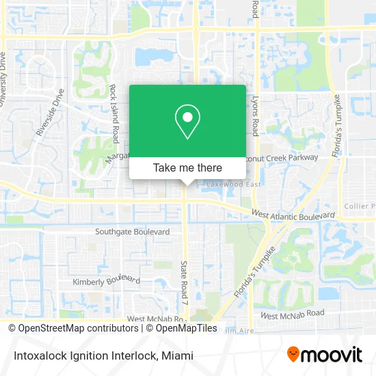
See Intoxalock Ignition Interlock, Coral Springs-Margate, on the map
Public Transit to Intoxalock Ignition Interlock in Coral Springs-Margate
Wondering how to get to Intoxalock Ignition Interlock in Coral Springs-Margate? Moovit helps you find the best way to get to Intoxalock Ignition Interlock with step-by-step directions from the nearest public transit station.
Moovit provides free maps and live directions to help you navigate through your city. View schedules, routes, timetables, and find out how long does it take to get to Intoxalock Ignition Interlock in real time.
Looking for the nearest stop or station to Intoxalock Ignition Interlock? Check out this list of stops closest to your destination: US 441/Northwest 9th Street; Atlantic Boulevard/Lakewood Circle; US 441 & Atlantic Boulevard.
Bus: 19, 42, 441.
Want to see if there’s another route that gets you there at an earlier time? Moovit helps you find alternative routes or times. Get directions from and directions to Intoxalock Ignition Interlock easily from the Moovit App or Website.
We make riding to Intoxalock Ignition Interlock easy, which is why over 1.5 million users, including users in Coral Springs-Margate, trust Moovit as the best app for public transit. You don’t need to download an individual bus app or train app, Moovit is your all-in-one transit app that helps you find the best bus time or train time available.
For information on prices of bus, costs and ride fares to Intoxalock Ignition Interlock, please check the Moovit app.
Use the app to navigate to popular places including to the airport, hospital, stadium, grocery store, mall, coffee shop, school, college, and university.
Intoxalock Ignition Interlock Address: 5626 NW 8th St Pompano Beach, FL 33063 street in Coral Springs-Margate
- Burger Den,
- Dac's Welding and Fabrication,
- Meltdown,
- Jackson Hewitt Tax Service,
- KeyMe,
- State Road 7 & Northwest 9th Street,
- 7-Eleven (711),
- Rivers of Living Water Deliverance Ministries,
- Lakewood Mall,
- Tropical Financial Credit Union,
- Leading Learners Academy,
- Applegreen Condo Apartments,
- Cash2bitcoin ATM,
- US 441/Atlantic B,
- State Road 7 & Atlantic Boulevard,
- Christian Morales - TD Wealth Financial Advisor,
- The UPS Store,
- Leal Services,
- Carlos Tag & Title,
- Atlantic Blvd/US 441 Bus Stop
Places Near Intoxalock Ignition Interlock (Coral Springs-Margate)
- Miami Design District, Miami,
- Marlins Park, Miami,
- Miami Freedom Park, Miami,
- Miami-Dade County Courthouse, Miami,
- Hard Rock Stadium, Miami Gardens,
- Richard E. Gerstein Justice Building, Miami,
- Zoo Miami, Miami,
- Wynwood, Miami,
- Aventura Mall, Miami Beach,
- Dolphin Mall Bus, Miami,
- Miami VA Hospital, Miami,
- Port of Miami Cruise Terminal, Miami,
- Bayside Marketplace, Miami,
- Dolphin Mall, Miami,
- Keiser University Flagship Campus, West Palm Beach,
- Aventura Mall, Miami,
- Sawgrass mall ( FL ), Miami Beach,
- Little Havana, Miami,
- Sawgrass Mall, Miami,
- Brickell City Centre, Miami
How to get to popular places in Miami with public transit
Get around Coral Springs-Margate by public transit!
Traveling around Coral Springs-Margate has never been so easy. See step by step directions as you travel to any attraction, street or major public transit station. View bus and train schedules, arrival times, service alerts and detailed routes on a map, so you know exactly how to get to anywhere in Coral Springs-Margate.
When traveling to any destination around Coral Springs-Margate use Moovit's Live Directions with Get Off Notifications to know exactly where and how far to walk, how long to wait for your line, and how many stops are left. Moovit will alert you when it's time to get off — no need to constantly re-check whether yours is the next stop.
Wondering how to use public transit in Coral Springs-Margate or how to pay for public transit in Coral Springs-Margate? Moovit public transit app can help you navigate your way with public transit easily, and at minimum cost. It includes public transit fees, ticket prices, and costs. Looking for a map of Coral Springs-Margate public transit lines? Moovit public transit app shows all public transit maps in Coral Springs-Margate with all Bus, Train, Light Rail and Ferry routes and stops on an interactive map.
Miami has 4 transit type(s), including: Bus, Train, Light Rail and Ferry, operated by several transit agencies, including Broward County Transit, Miami-Dade Transit, Metrorail, Palm Tran, Tri-Rail, Brightline, MARTY, City of Homestead Trolley, Key West Transit, Treasure Coast Connector, GoLine IRT, Amtrak, Greyhound-us, FlixBus-us and Aventura Express Shuttle Bus