How to get to Invensys Systems by bus?
Click on the bus route to see step by step directions with maps, line arrival times and updated time schedules.
From Heartland Outdoors, Indianapolis City (Balance)
55 minFrom Super 8-Indianapolis Emerson Ave (Indianapolis Super Eight), Beech Grove
44 minFrom Truth & Life Church, Indianapolis City (Balance)
43 minFrom Golden Crown, Indianapolis City (Balance)
50 minFrom Salon700, Beech Grove
37 minFrom 37 Place Community Center, Indianapolis City (Balance)
28 minFrom 16th Street and Shadeland Ave., Indianapolis City (Balance)
64 minFrom Westend Dental, Indianapolis City (Balance)
24 minFrom CBC-Nedho, Indianapolis City (Balance)
43 minFrom Home Instead, Indianapolis City (Balance)
60 min
Bus stops near Invensys Systems in Indianapolis City (Balance)
Bus lines to Invensys Systems in Indianapolis City (Balance)
- 90, 66th,VIEW
- 92, Transit Center,VIEW
- 8, Airport,VIEW
- 24, Ameriplex,VIEW
- 11, Transit Center,VIEW
- 25, Walmart Laf Rd,VIEW
- 3, Michigan Street,VIEW
- 6, Harding,VIEW
- 10, 10th Street,VIEW
- 15, West 34th St,VIEW
- 34, ML King/Michigan Rd,VIEW
- 37, Park 100,VIEW
- 2, 33rd & Post - Crossroads,VIEW
- 4, Community North,VIEW
- 5, Sherman & 38th,VIEW
- 19, Butler University,VIEW
- 28, St. Vincent,VIEW
- 38, Eagle Creek Pkwy,VIEW
What are the closest stations to Invensys Systems?
The closest stations to Invensys Systems are:
- Statehouse Station Sb is 26 yards away, 1 min walk.
- Washington St & Illinois St is 184 yards away, 3 min walk.
- Meridian St & Vermont St is 589 yards away, 8 min walk.
- Vermont St & Capitol Ave is 633 yards away, 8 min walk.
- Delaware St & New York St is 704 yards away, 9 min walk.
Which bus lines stop near Invensys Systems?
These bus lines stop near Invensys Systems: 10, 2, 25, 3, 37, 5, 90.
What’s the nearest bus station to Invensys Systems in Indianapolis City (Balance)?
The nearest bus station to Invensys Systems in Indianapolis City (Balance) is Statehouse Station Sb. It’s a 1 min walk away.
What time is the first bus to Invensys Systems in Indianapolis City (Balance)?
The 37 is the first bus that goes to Invensys Systems in Indianapolis City (Balance). It stops nearby at 4:47 AM.
What time is the last bus to Invensys Systems in Indianapolis City (Balance)?
The 90 is the last bus that goes to Invensys Systems in Indianapolis City (Balance). It stops nearby at 12:54 AM.
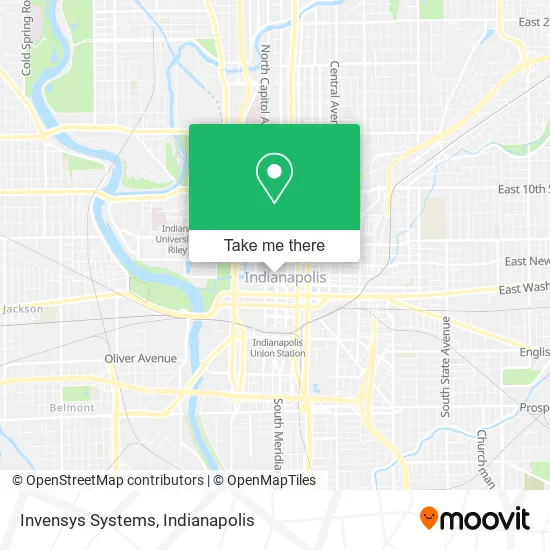
See Invensys Systems, Indianapolis City (Balance), on the map
Public Transit to Invensys Systems in Indianapolis City (Balance)
Wondering how to get to Invensys Systems in Indianapolis City (Balance)? Moovit helps you find the best way to get to Invensys Systems with step-by-step directions from the nearest public transit station.
Moovit provides free maps and live directions to help you navigate through your city. View schedules, routes, timetables, and find out how long does it take to get to Invensys Systems in real time.
Looking for the nearest stop or station to Invensys Systems? Check out this list of stops closest to your destination: Statehouse Station Sb; Washington St & Illinois St; Meridian St & Vermont St; Vermont St & Capitol Ave; Delaware St & New York St.
Bus: 10, 2, 25, 3, 37, 5, 90, 92, 8, 24, 11, 6, 15, 34, 4, 19, 28.
Want to see if there’s another route that gets you there at an earlier time? Moovit helps you find alternative routes or times. Get directions from and directions to Invensys Systems easily from the Moovit App or Website.
We make riding to Invensys Systems easy, which is why over 1.5 million users, including users in Indianapolis City (Balance), trust Moovit as the best app for public transit. You don’t need to download an individual bus app or train app, Moovit is your all-in-one transit app that helps you find the best bus time or train time available.
For information on prices of bus, costs and ride fares to Invensys Systems, please check the Moovit app.
Use the app to navigate to popular places including to the airport, hospital, stadium, grocery store, mall, coffee shop, school, college, and university.
Invensys Systems Address: 101 W Ohio St Indianapolis, IN 46204 street in Indianapolis City (Balance)
- United States Government,
- Priority Home Buyers Sell My House Fast for Cash Indianapolis,
- Daycomm,
- Ronin Homes,
- Indiana Senate Majority Campaign Committee,
- Schooley J Bradley,
- National Car Services,
- Hostetler Gary Lynn,
- Threlkeld & Associates,
- 101 W Ohio Parking,
- Touchpoint One,
- Siteworks Realty,
- Acs Government Solutions,
- App Hypnosis Center,
- Parsons,
- Divorce & Assets Asset Division,
- Upright Law Bankruptcy Attorneys Marion County,
- Northern Indiana Public Service Co Indianapolis,
- South 22 Trust Properties,
- Donohue & Associates
Places Near Invensys Systems (Indianapolis City (Balance))
- Indianapolis Airport Zone 2, Indianapolis City (Balance),
- Jersey Barn, Indianapolis City (Balance),
- I-465 / I-65 Interchange, Indianapolis City (Balance),
- Lucas Oil Stadium, Indianapolis City (Balance),
- THE BALT, Indianapolis City (Balance),
- Indiana Convention Center, Indianapolis City (Balance),
- Train Ride At Castleton Mall, Indianapolis City (Balance),
- Indiana, Indianapolis City (Balance),
- Plainfield, IN, Plainfield,
- St. Vincent entrance #1, Indianapolis City (Balance),
- I U Health Methodist Hospital, Indianapolis City (Balance),
- Lilly Corporate Center (Eli Lilly & Co), Indianapolis City (Balance),
- Indianapolis Motor Speedway, Speedway,
- Cotter's Massage Parlor With Happy Endings, Indianapolis City (Balance),
- 119 W 19th St Parking, Indianapolis City (Balance),
- Gainbridge Fieldhouse, Indianapolis City (Balance),
- Methodist Hospital of Indianapolis, Indianapolis City (Balance),
- Eskenazi Hospital, Indianapolis City (Balance),
- Castleton Square Mall, Indianapolis,
- St. Vincent Hospital - Indianapolis, Indianapolis City (Balance)
How to get to popular places in Indianapolis with public transit
Get around Indianapolis City (Balance) by public transit!
Traveling around Indianapolis City (Balance) has never been so easy. See step by step directions as you travel to any attraction, street or major public transit station. View bus and train schedules, arrival times, service alerts and detailed routes on a map, so you know exactly how to get to anywhere in Indianapolis City (Balance).
When traveling to any destination around Indianapolis City (Balance) use Moovit's Live Directions with Get Off Notifications to know exactly where and how far to walk, how long to wait for your line, and how many stops are left. Moovit will alert you when it's time to get off — no need to constantly re-check whether yours is the next stop.
Wondering how to use public transit in Indianapolis City (Balance) or how to pay for public transit in Indianapolis City (Balance)? Moovit public transit app can help you navigate your way with public transit easily, and at minimum cost. It includes public transit fees, ticket prices, and costs. Looking for a map of Indianapolis City (Balance) public transit lines? Moovit public transit app shows all public transit maps in Indianapolis City (Balance) with all bus routes and stops on an interactive map.
Indianapolis has 1 transit type(s), including: bus, operated by several transit agencies, including IndyGo, FlixBus-us and Greyhound-us