Directions to Inyourspot.Com (Indianapolis City (Balance)) with public transportation
The following transit lines have routes that pass near Inyourspot.Com
 Bus: 8.
How to get to Inyourspot.Com by bus?
Click on the bus route to see step by step directions with maps, line arrival times and updated time schedules.
From Tough Guys, Indianapolis City (Balance)
89 minFrom Gleaners Food Bank of Indiana, Indianapolis City (Balance)
110 minFrom Signature Total Makeovers, Indianapolis City (Balance)
89 minFrom I-465 & Kentucky Ave, Indianapolis City (Balance)
105 minFrom Pier 39 Apartments, Indianapolis City (Balance)
118 minFrom Christian Faith Baptist, Indianapolis City (Balance)
80 minFrom Smith & Son, Indianapolis City (Balance)
89 minFrom A New Way Hvac, Indianapolis City (Balance)
89 minFrom W 10th St / N Tibbs Ave, Indianapolis City (Balance)
67 min
Bus stop near Inyourspot.Com in Indianapolis City (Balance)
- Washington St & Burke Ave, 8 min walk,VIEW
Bus lines to Inyourspot.Com in Indianapolis City (Balance)
- 8, Shortridge Rd,VIEW
What are the closest stations to Inyourspot.Com?
The closest stations to Inyourspot.Com are:
- Washington St & Burke Ave is 628 yards away, 8 min walk.
Which bus line stops near Inyourspot.Com?
8 (Airport)
What’s the nearest bus station to Inyourspot.Com in Indianapolis City (Balance)?
The nearest bus station to Inyourspot.Com in Indianapolis City (Balance) is Washington St & Burke Ave. It’s a 8 min walk away.
What time is the first bus to Inyourspot.Com in Indianapolis City (Balance)?
The 8 is the first bus that goes to Inyourspot.Com in Indianapolis City (Balance). It stops nearby at 5:06 AM.
What time is the last bus to Inyourspot.Com in Indianapolis City (Balance)?
The 8 is the last bus that goes to Inyourspot.Com in Indianapolis City (Balance). It stops nearby at 12:17 AM.
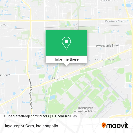
See Inyourspot.Com, Indianapolis City (Balance), on the map
Public Transit to Inyourspot.Com in Indianapolis City (Balance)
Wondering how to get to Inyourspot.Com in Indianapolis City (Balance)? Moovit helps you find the best way to get to Inyourspot.Com with step-by-step directions from the nearest public transit station.
Moovit provides free maps and live directions to help you navigate through your city. View schedules, routes, timetables, and find out how long does it take to get to Inyourspot.Com in real time.
Looking for the nearest stop or station to Inyourspot.Com? Check out this list of stops closest to your destination: Washington St & Burke Ave.
Bus: 8.
Want to see if there’s another route that gets you there at an earlier time? Moovit helps you find alternative routes or times. Get directions from and directions to Inyourspot.Com easily from the Moovit App or Website.
We make riding to Inyourspot.Com easy, which is why over 1.5 million users, including users in Indianapolis City (Balance), trust Moovit as the best app for public transit. You don’t need to download an individual bus app or train app, Moovit is your all-in-one transit app that helps you find the best bus time or train time available.
For information on prices of bus, costs and ride fares to Inyourspot.Com, please check the Moovit app.
Use the app to navigate to popular places including to the airport, hospital, stadium, grocery store, mall, coffee shop, school, college, and university.
Inyourspot.Com Address: 1919 Danbury Dr street in Indianapolis City (Balance)
- Ice Systems Solutions,
- BOSCH Car Service,
- Vanguard Alarms,
- Masters Heating & Cooling,
- Bridgeport Homes,
- Uppal Services,
- Catalina Motel,
- Brothers That Just do Gutters,
- Mer,
- Watertight Roofing Indy,
- Hunt Brothers Pizza,
- Indy Mart Gas,
- U & I Liquor,
- ATM,
- La Cocina de Chuy,
- Public Storage,
- Rolls-Royce On-Wing Care,
- ROLLS-ROYCE Regional Training Center,
- Ipl Substation,
- Aire Corr
Places Near Inyourspot.Com (Indianapolis City (Balance))
- Indianapolis Motor Speedway, Speedway,
- Train Ride At Castleton Mall, Indianapolis City (Balance),
- Indianapolis Airport Zone 2, Indianapolis City (Balance),
- Lilly Corporate Center (Eli Lilly & Co), Indianapolis City (Balance),
- 119 W 19th St Parking, Indianapolis City (Balance),
- Indiana, Indianapolis City (Balance),
- Plainfield, IN, Plainfield,
- Methodist Hospital of Indianapolis, Indianapolis City (Balance),
- THE BALT, Indianapolis City (Balance),
- Cotter's Massage Parlor With Happy Endings, Indianapolis City (Balance),
- I U Health Methodist Hospital, Indianapolis City (Balance),
- Eskenazi Hospital, Indianapolis City (Balance),
- St. Vincent entrance #1, Indianapolis City (Balance),
- Gainbridge Fieldhouse, Indianapolis City (Balance),
- Castleton Square Mall, Indianapolis,
- St. Vincent Hospital - Indianapolis, Indianapolis City (Balance),
- Lucas Oil Stadium, Indianapolis City (Balance),
- I-465 / I-65 Interchange, Indianapolis City (Balance),
- Jersey Barn, Indianapolis City (Balance),
- Indiana Convention Center, Indianapolis City (Balance)
How to get to popular places in Indianapolis with public transit
Get around Indianapolis City (Balance) by public transit!
Traveling around Indianapolis City (Balance) has never been so easy. See step by step directions as you travel to any attraction, street or major public transit station. View bus and train schedules, arrival times, service alerts and detailed routes on a map, so you know exactly how to get to anywhere in Indianapolis City (Balance).
When traveling to any destination around Indianapolis City (Balance) use Moovit's Live Directions with Get Off Notifications to know exactly where and how far to walk, how long to wait for your line, and how many stops are left. Moovit will alert you when it's time to get off — no need to constantly re-check whether yours is the next stop.
Wondering how to use public transit in Indianapolis City (Balance) or how to pay for public transit in Indianapolis City (Balance)? Moovit public transit app can help you navigate your way with public transit easily, and at minimum cost. It includes public transit fees, ticket prices, and costs. Looking for a map of Indianapolis City (Balance) public transit lines? Moovit public transit app shows all public transit maps in Indianapolis City (Balance) with all bus routes and stops on an interactive map.
Indianapolis has 1 transit type(s), including: bus, operated by several transit agencies, including IndyGo, FlixBus-us and Greyhound-us