Directions to Ipade (Aguascalientes) with public transportation
The following transit lines have routes that pass near Ipade
 Bus: RUTA 43.
How to get to Ipade by bus?
Click on the bus route to see step by step directions with maps, line arrival times and updated time schedules.
From Jalpa, Aguascalientes
51 minFrom Fraccionamiento Parras, Aguascalientes
62 minFrom ISSSTE, Aguascalientes
47 minFrom Plaza de la Tecnología, Aguascalientes
26 minFrom Secretaria de Seguridad Pública Estatal, Aguascalientes
45 minFrom Condominio Loretta, Aguascalientes
63 minFrom Campo De Fútbol Los Gavilanes, Aguascalientes
58 minFrom Funeraria Tamayo, Aguascalientes
26 minFrom Auditorio DIMO, Aguascalientes
34 minFrom San Antonio de Peñuelas, Aguascalientes
59 min
Bus stop near Ipade in Aguascalientes
- Aguascalientes-Encarnación De Díaz, 2589, 6 min walk,VIEW
Bus lines to Ipade in Aguascalientes
What are the closest stations to Ipade?
The closest stations to Ipade are:
- Aguascalientes-Encarnación De Díaz, 2589 is 199 meters away, 6 min walk.
Which bus line stops near Ipade?
RUTA 43 (San Antonio)
What’s the nearest bus station to Ipade in Aguascalientes?
The nearest bus station to Ipade in Aguascalientes is Aguascalientes-Encarnación De Díaz, 2589. It’s a 6 min walk away.
What time is the first bus to Ipade in Aguascalientes?
The RUTA 43 is the first bus that goes to Ipade in Aguascalientes. It stops nearby at 6:15 AM.
What time is the last bus to Ipade in Aguascalientes?
The RUTA 43 is the last bus that goes to Ipade in Aguascalientes. It stops nearby at 10:37 PM.
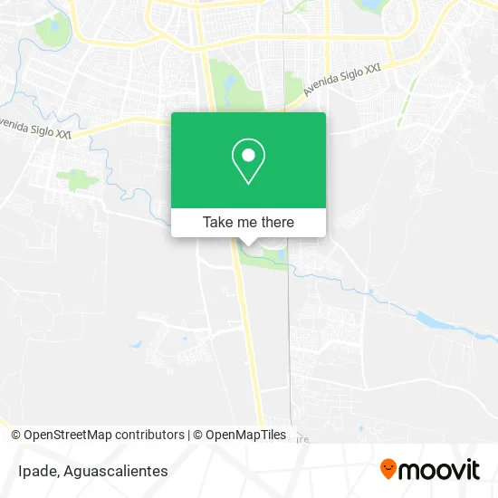
See Ipade, Aguascalientes, on the map
Public Transit to Ipade in Aguascalientes
Wondering how to get to Ipade in Aguascalientes? Moovit helps you find the best way to get to Ipade with step-by-step directions from the nearest public transit station.
Moovit provides free maps and live directions to help you navigate through your city. View schedules, routes, timetables, and find out how long does it take to get to Ipade in real time.
Looking for the nearest stop or station to Ipade? Check out this list of stops closest to your destination: Aguascalientes-Encarnación De Díaz.
Bus: RUTA 43.
Want to see if there’s another route that gets you there at an earlier time? Moovit helps you find alternative routes or times. Get directions from and directions to Ipade easily from the Moovit App or Website.
We make riding to Ipade easy, which is why over 1.5 million users, including users in Aguascalientes, trust Moovit as the best app for public transit. You don’t need to download an individual bus app or train app, Moovit is your all-in-one transit app that helps you find the best bus time or train time available.
For information on prices of bus, costs and ride fares to Ipade, please check the Moovit app.
Use the app to navigate to popular places including to the airport, hospital, stadium, grocery store, mall, coffee shop, school, college, and university.
Ipade Address: Condominio Villas de Bonaterra, 20296 Aguascalientes, Aguascalientes street in Aguascalientes
- Universidad Panamericana Bonaterra,
- Avenida Josemaría Escrivá de Balaguer 101,
- WESTERN UNION,
- Universidad Panamericana,
- Cafetería de Universidad Panamericana Bonaterra,
- WESTERN UNION,
- Carvisal,
- Ronda Residencial,
- Rivers Fitness & Health,
- Cafe y TE Tree House,
- Osteria Italiana Bonaterra,
- Perfiles Euromexicana,
- Restaurante de Comida Japonesa Hiro y Piz,
- Pp El Toro Cantina Sur,
- Centro Trailero Hidrocalido,
- WESTERN UNION,
- Residencial Bonaterra,
- Villa Bonaterra,
- Circuito Bonaterra,
- Carrefour
Places Near Ipade (Aguascalientes)
- Parque Las Tres Centurias, Aguascalientes,
- La Isla San Marcos, Aguascalientes,
- Jesús María, Aguascalientes,
- Villasuncion, Aguascalientes,
- Terminal De Combis, Aguascalientes,
- Nuevo Hospital Hidalgo, Aguascalientes,
- Isla San Marcos, Aguascalientes,
- Aeropuerto de Aguascalientes S.A. de C.V., Aguascalientes,
- Ciudad industrial, Aguascalientes,
- Universidad Autónoma de Aguascalientes, Aguascalientes,
- ESPACIOS, Aguascalientes,
- Villas de Nuestra Señora de la Asunción, Aguascalientes,
- Centro, Aguascalientes,
- Hospital Imss No. 3, Aguascalientes,
- Blvd. Luis Donaldo Colosio, Aguascalientes,
- clinica 3 uaa, Aguascalientes,
- Agropecuario, Aguascalientes,
- Central De Autobuses, Aguascalientes,
- Imss Clinica 1, Aguascalientes,
- Centro Comercial Altaria, Aguascalientes
How to get to popular places in Aguascalientes with public transit
Get around Aguascalientes by public transit!
Traveling around Aguascalientes has never been so easy. See step by step directions as you travel to any attraction, street or major public transit station. View bus and train schedules, arrival times, service alerts and detailed routes on a map, so you know exactly how to get to anywhere in Aguascalientes.
When traveling to any destination around Aguascalientes use Moovit's Live Directions with Get Off Notifications to know exactly where and how far to walk, how long to wait for your line, and how many stops are left. Moovit will alert you when it's time to get off — no need to constantly re-check whether yours is the next stop.
Wondering how to use public transit in Aguascalientes or how to pay for public transit in Aguascalientes? Moovit public transit app can help you navigate your way with public transit easily, and at minimum cost. It includes public transit fees, ticket prices, and costs. Looking for a map of Aguascalientes public transit lines? Moovit public transit app shows all public transit maps in Aguascalientes with all bus routes and stops on an interactive map.
Aguascalientes has 1 transit type(s), including: bus, operated by several transit agencies, including Coordinación General de Movilidad