Irving Wb stop - Monday schedule
| Line | Direction | Time |
|---|---|---|
| GRN | Macarthur | 6:10 AM |
| 102 | Cedar Crest Hospital | 6:26 AM |
| BLU | Trexlertown | 6:29 AM |
| BLU | Trexlertown | 6:59 AM |
| GRN | Macarthur | 7:12 AM |
| BLU | Trexlertown | 7:29 AM |
| 102 | Cedar Crest Hospital | 7:29 AM |
| BLU | Trexlertown | 7:59 AM |
| GRN | Macarthur | 8:14 AM |
| BLU | Trexlertown | 8:29 AM |
| 102 | Cedar Crest Hospital | 8:29 AM |
| GRN | Macarthur | 8:44 AM |
| BLU | Trexlertown | 8:59 AM |
| GRN | Macarthur | 9:14 AM |
| BLU | Trexlertown | 9:29 AM |
| 102 | Cedar Crest Hospital | 9:29 AM |
| GRN | Macarthur | 9:45 AM |
| BLU | Trexlertown | 9:59 AM |
| GRN | Macarthur | 10:13 AM |
| 102 | Cedar Crest Hospital | 10:27 AM |
| BLU | Trexlertown | 10:29 AM |
| GRN | Macarthur | 10:41 AM |
| BLU | Trexlertown | 10:59 AM |
| GRN | Macarthur | 11:11 AM |
| 102 | Cedar Crest Hospital | 11:27 AM |
Directions to Irving Wb stop (Allentown) with public transit
The following transit lines have routes that pass near Irving Wb
 Bus: BLU, 102, 324, GRN.
How to get to Irving Wb stop by bus?
Click on the bus route to see step by step directions with maps, line arrival times and updated time schedules.
Bus stops near Irving Wb stop in Allentown
- Union at Jerome Wb, 3 min walk,
- Irving at Dieruff Nb, 5 min walk,
- Irving Eb, 9 min walk,
Bus lines to Irving Wb stop in Allentown
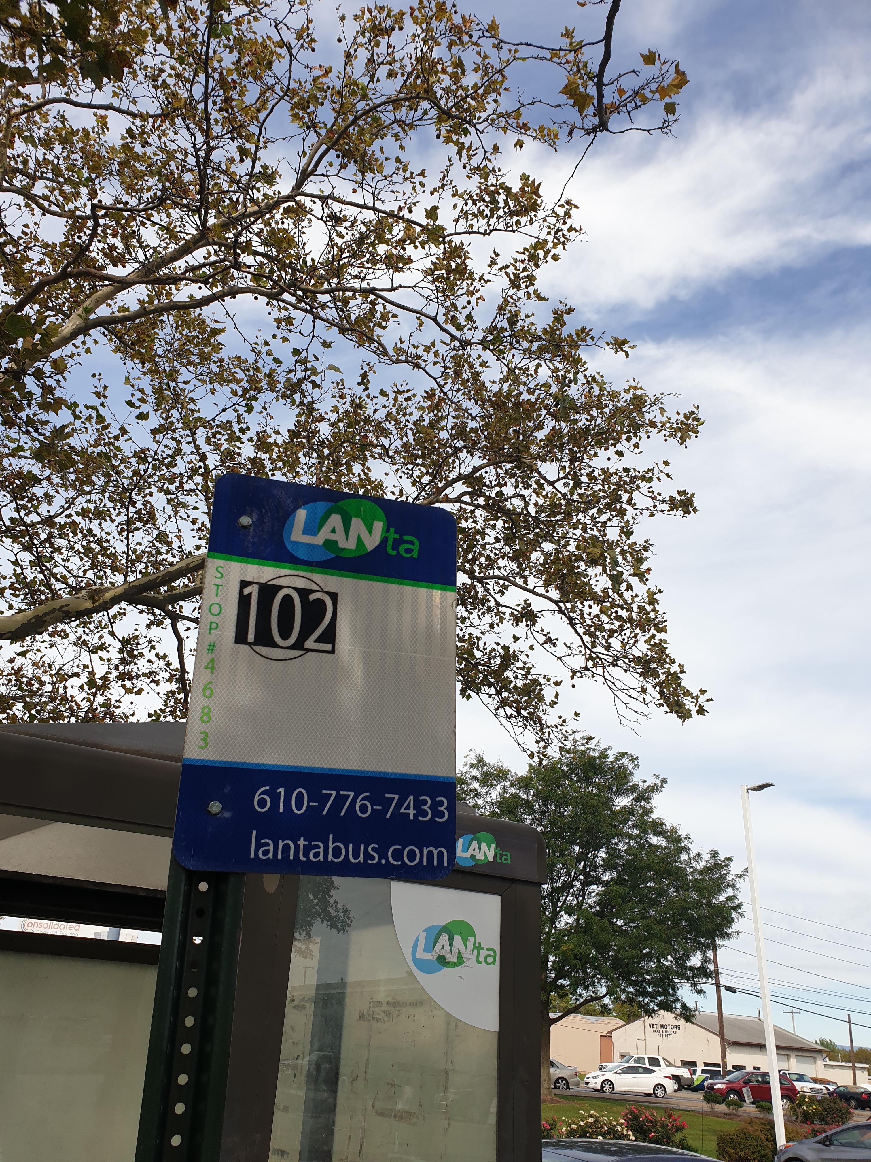
- 102, Cedar Crest Hospital,
- 324, Atc - Allentown,
- BLU, Eitc - Easton,
- GRN, Casino,
What are the closest stations to Irving Wb?
The closest stations to Irving Wb are:
- Union at Jerome Wb stop is 225 yards away, 3 min walk.
- Irving at Dieruff Nb stop is 409 yards away, 5 min walk.
- Irving Eb stop is 723 yards away, 9 min walk.
Which bus line stops near Irving Wb?
BLU (Eitc - Easton)
What’s the nearest bus station to Irving Wb in Allentown?
The nearest bus station to Irving Wb in Allentown is Union at Jerome Wb. It’s a 3 min walk away.
What time is the first bus to Irving Wb in Allentown?
The BLU is the first bus that goes to Irving Wb in Allentown. It stops nearby at 4:54 AM.
What time is the last bus to Irving Wb in Allentown?
The BLU is the last bus that goes to Irving Wb in Allentown. It stops nearby at 11:54 PM.
Irving Wb station
 Taken by Anonymous
See Irving Wb stop, Allentown, on the map
Public transit to Irving Wb stop (ID: 4683) in Allentown
Looking for directions to Irving Wb in Allentown, United States?
Download the Moovit App to find the current schedule and step-by-step directions for Bus or Train routes that pass through Irving Wb.
Looking for the nearest stops closest to Irving Wb ? Check out this list of closest stops to your destination: Union at Jerome Wb; Irving at Dieruff Nb; Irving Eb.
Bus: BLU, 102, 324, GRN.
We make riding on public transit to Irving Wb easy, which is why over 1.7 billion users, including users in Allentown trust Moovit as the best app for public transit.
Use the app to navigate to popular places including to the airport, hospital, stadium, grocery store, mall, coffee shop, school, college, and university.
Irving Wb stop’s code is 4683
The first line to this stop is GRN, at 6:10 AM, and the last line is BLU at 5:59 AM.
914 Union Blvd, Allentown, PA, USA
This stop serves LANTA’s lines
- Union at Jerome Wb,
- Irving at Dieruff Nb,
- Irving Eb
Bus stops near Irving Wb stop
- New York - Broadway @ Cedar St (Northbound),
- Fort Hamilton Pkwy,
- South Norwalk,
- Bethpage,
- Grand Central,
- 137 St-City College,
- Belleayre Mountain Bus Stop,
- Hawthorne,
- Sea Bright - Ocean Ave @ Center St / Donovan's Reef (Southbound),
- Carle Place,
- 6 Av/W 42 St,
- Centre St/Chambers St,
- Bowery/Grand St,
- 6 Av/W 36 St,
- Ashford St/Stanley Av,
- 175 St,
- Port Authority Bus Terminal,
- Brighton Beach,
- Cos Cob,
- Point Pleasant
Popular public transit stations in Allentown
Get around Allentown by public transit!
Traveling around Allentown has never been so easy. See step by step directions as you travel to any attraction, street or major public transit station. View bus and train schedules, arrival times, service alerts and detailed routes on a map, so you know exactly how to get to anywhere in Allentown.
When traveling to any destination around Allentown use Moovit's Live Directions with Get Off Notifications to know exactly where and how far to walk, how long to wait for your line, and how many stops are left. Moovit will alert you when it's time to get off — no need to constantly re-check whether yours is the next stop.
Wondering how to use public transit in Allentown or how to pay for public transit in Allentown? Moovit public transit app can help you navigate your way with public transit easily, and at minimum cost. It includes public transit fees, ticket prices, and costs. Looking for a map of Allentown public transit lines? Moovit public transit app shows all public transit maps in Allentown with all Bus, Train, Subway, Light Rail, Ferry and Cable Car routes and stops on an interactive map.
New York - New Jersey has 6 transit type(s), including: Bus, Train, Subway, Light Rail, Ferry and Cable Car, operated by several transit agencies, including MTA Subway, Metro-North Railroad, LIRR, PATH, MTA New York City Transit - Express routes, MTA Bus, NJ Transit, NYC Ferry, NICE bus, Bee-Line Bus, NJ Transit Rail, Norwalk Transit District, CTTransit - Waterbury-Meriden, Hartford Line and River Valley Transit