How to get to Itlap Solutions by bus?
Click on the bus route to see step by step directions with maps, line arrival times and updated time schedules.
From Sirloin Stockade, Aguascalientes
57 minFrom Salon Terraza Jardin El Herradero, Aguascalientes
78 minFrom Cementerio Jardines Eternos, Aguascalientes
59 minFrom Universidad Autónoma de Aguascalientes, Aguascalientes
44 minFrom Prepa Reyes Heroles, Aguascalientes
34 minFrom Avenida Guadalupe Gonzalez, Aguascalientes
45 minFrom Fracc. Los Sauces, Aguascalientes
50 minFrom Tec De Monterrey Campus Aguascalientes, Aguascalientes
65 minFrom Plaza San Marcos, Aguascalientes
54 minFrom Centro de Convenciones Isla San Marcos - Oficial, Aguascalientes
65 min
Bus stops near Itlap Solutions in Aguascalientes
Bus lines to Itlap Solutions in Aguascalientes
What are the closest stations to Itlap Solutions?
The closest stations to Itlap Solutions are:
- Avenida Paseo Del Puertecito Oriente, 316 is 311 meters away, 5 min walk.
- Calle Puerto De Cozumel, 142 is 330 meters away, 5 min walk.
Which bus lines stop near Itlap Solutions?
These bus lines stop near Itlap Solutions: RUTA 37, RUTA 43.
What’s the nearest bus station to Itlap Solutions in Aguascalientes?
The nearest bus stations to Itlap Solutions in Aguascalientes are Avenida Paseo Del Puertecito Oriente, 316 and Calle Puerto De Cozumel, 142. The closest one is a 5 min walk away.
What time is the first bus to Itlap Solutions in Aguascalientes?
The RUTA 37 is the first bus that goes to Itlap Solutions in Aguascalientes. It stops nearby at 5:50 AM.
What time is the last bus to Itlap Solutions in Aguascalientes?
The RUTA 43 is the last bus that goes to Itlap Solutions in Aguascalientes. It stops nearby at 10:50 PM.
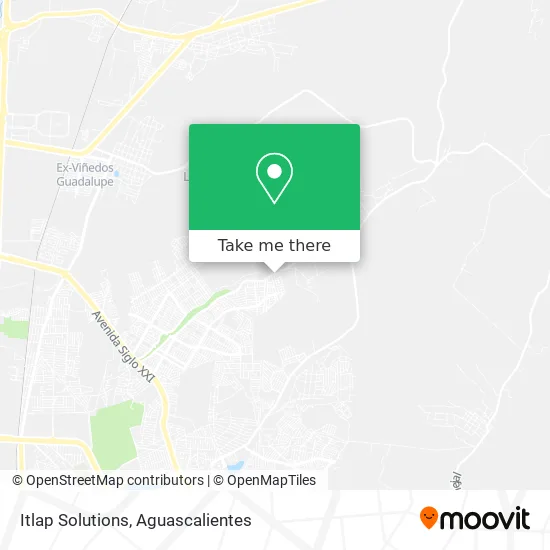
See Itlap Solutions, Aguascalientes, on the map
Public Transit to Itlap Solutions in Aguascalientes
Wondering how to get to Itlap Solutions in Aguascalientes? Moovit helps you find the best way to get to Itlap Solutions with step-by-step directions from the nearest public transit station.
Moovit provides free maps and live directions to help you navigate through your city. View schedules, routes, timetables, and find out how long does it take to get to Itlap Solutions in real time.
Looking for the nearest stop or station to Itlap Solutions? Check out this list of stops closest to your destination: Avenida Paseo Del Puertecito Oriente; Calle Puerto De Cozumel.
Bus: RUTA 37, RUTA 43, RUTA 08.
Want to see if there’s another route that gets you there at an earlier time? Moovit helps you find alternative routes or times. Get directions from and directions to Itlap Solutions easily from the Moovit App or Website.
We make riding to Itlap Solutions easy, which is why over 1.5 million users, including users in Aguascalientes, trust Moovit as the best app for public transit. You don’t need to download an individual bus app or train app, Moovit is your all-in-one transit app that helps you find the best bus time or train time available.
For information on prices of bus, costs and ride fares to Itlap Solutions, please check the Moovit app.
Use the app to navigate to popular places including to the airport, hospital, stadium, grocery store, mall, coffee shop, school, college, and university.
Itlap Solutions Address: Itlap Solutions, Calle Jerónimo de la Cueva 1603, Fraccionamiento Villas del Río, 20126 Aguascalien street in Aguascalientes
- Tienda de Abarrotes Chavita,
- Pupusas Salvadoreñas,
- Fraccionamiento Villas del Río,
- Fruteria Felix,
- Six Villas del Rio,
- Papeleria Multiservicios Gola,
- Tecate Six,
- Pañales y Productos de Limlpieza,
- Tacos,
- La Ribera Gsc.,
- Gorditas Don Pepe,
- Tiendas 3B,
- Universidad Tecnológica Metropolitana De Aguascalientes,
- WESTERN UNION,
- Abarrotes Champoton,
- Base para Pizza,
- Calle Puerto Lazaro Cardenas 322,
- Kung Fu Esc Kuan Yin Aguascalintes,
- Perfumes,
- Mini Super Oliver
Places Near Itlap Solutions (Aguascalientes)
- Ciudad industrial, Aguascalientes,
- Hospital Imss No. 3, Aguascalientes,
- Blvd. Luis Donaldo Colosio, Aguascalientes,
- clinica 3 uaa, Aguascalientes,
- Centro, Aguascalientes,
- Isla San Marcos, Aguascalientes,
- Villas de Nuestra Señora de la Asunción, Aguascalientes,
- Terminal De Combis, Aguascalientes,
- Central De Autobuses, Aguascalientes,
- Nuevo Hospital Hidalgo, Aguascalientes,
- Agropecuario, Aguascalientes,
- Centro Comercial Altaria, Aguascalientes,
- La Isla San Marcos, Aguascalientes,
- Imss Clinica 1, Aguascalientes,
- Parque Las Tres Centurias, Aguascalientes,
- Aeropuerto de Aguascalientes S.A. de C.V., Aguascalientes,
- Jesús María, Aguascalientes,
- Universidad Autónoma de Aguascalientes, Aguascalientes,
- Villasuncion, Aguascalientes,
- ESPACIOS, Aguascalientes
How to get to popular places in Aguascalientes with public transit
Get around Aguascalientes by public transit!
Traveling around Aguascalientes has never been so easy. See step by step directions as you travel to any attraction, street or major public transit station. View bus and train schedules, arrival times, service alerts and detailed routes on a map, so you know exactly how to get to anywhere in Aguascalientes.
When traveling to any destination around Aguascalientes use Moovit's Live Directions with Get Off Notifications to know exactly where and how far to walk, how long to wait for your line, and how many stops are left. Moovit will alert you when it's time to get off — no need to constantly re-check whether yours is the next stop.
Wondering how to use public transit in Aguascalientes or how to pay for public transit in Aguascalientes? Moovit public transit app can help you navigate your way with public transit easily, and at minimum cost. It includes public transit fees, ticket prices, and costs. Looking for a map of Aguascalientes public transit lines? Moovit public transit app shows all public transit maps in Aguascalientes with all bus routes and stops on an interactive map.
Aguascalientes has 1 transit type(s), including: bus, operated by several transit agencies, including Coordinación General de Movilidad