How to get to JS Pastelito by bus?
Click on the bus route to see step by step directions with maps, line arrival times and updated time schedules.
From A To Z Marble Restoration, Hollywood
82 minFrom Walmart, Miami
62 minFrom NW 79th St / NW 32nd Ave, Miami
60 minFrom Tri Rail Metrorail Transfer Station, Miami
70 minFrom Walmart (Walmart Supercenter Miami - NW 79th Street), Miami
62 minFrom Hard Rock Stadium, Miami Gardens
57 minFrom Neighbor Transport Services, Miami
40 minFrom MDT Metrorail - Hialeah Station, Hialeah
56 minFrom Northside Station, Miami
60 minFrom Imater Academy Charter Middle/High School, Hialeah
83 min
Bus stops near JS Pastelito in Miami Gardens
Bus lines to JS Pastelito in Miami Gardens
What are the closest stations to JS Pastelito?
The closest stations to JS Pastelito are:
- Nw 173 Dr & Nw 49 Ct is 31 yards away, 1 min walk.
- Nw 47 Av & Nw 173 Dr is 607 yards away, 8 min walk.
Which bus lines stop near JS Pastelito?
These bus lines stop near JS Pastelito: 32, 75.
What’s the nearest bus station to JS Pastelito in Miami Gardens?
The nearest bus station to JS Pastelito in Miami Gardens is Nw 173 Dr & Nw 49 Ct. It’s a 1 min walk away.
What time is the first bus to JS Pastelito in Miami Gardens?
The 32 is the first bus that goes to JS Pastelito in Miami Gardens. It stops nearby at 5:05 AM.
What time is the last bus to JS Pastelito in Miami Gardens?
The 32 is the last bus that goes to JS Pastelito in Miami Gardens. It stops nearby at 12:13 AM.
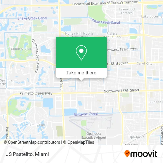
See JS Pastelito, Miami Gardens, on the map
Public Transit to JS Pastelito in Miami Gardens
Wondering how to get to JS Pastelito in Miami Gardens? Moovit helps you find the best way to get to JS Pastelito with step-by-step directions from the nearest public transit station.
Moovit provides free maps and live directions to help you navigate through your city. View schedules, routes, timetables, and find out how long does it take to get to JS Pastelito in real time.
Looking for the nearest stop or station to JS Pastelito? Check out this list of stops closest to your destination: Nw 173 Dr & Nw 49 Ct; Nw 47 Av & Nw 173 Dr.
Bus: 32, 75.
Want to see if there’s another route that gets you there at an earlier time? Moovit helps you find alternative routes or times. Get directions from and directions to JS Pastelito easily from the Moovit App or Website.
We make riding to JS Pastelito easy, which is why over 1.5 million users, including users in Miami Gardens, trust Moovit as the best app for public transit. You don’t need to download an individual bus app or train app, Moovit is your all-in-one transit app that helps you find the best bus time or train time available.
For information on prices of bus and train, costs and ride fares to JS Pastelito, please check the Moovit app.
Use the app to navigate to popular places including to the airport, hospital, stadium, grocery store, mall, coffee shop, school, college, and university.
JS Pastelito Address: 4932 NW 173rd Dr Opa-Locka, FL 33055 street in Miami Gardens
- Hipolito Lopez,
- Precision Home AC Repair,
- 183rd Street Investments,
- NW 47 Av & #,
- Throne Room Encounter Ministries,
- All Your Plumbing Needs,
- Entrance SR-826 W,
- JM Cooling,
- J & J Medical Supply Inc,
- A Bunch of Flowers To Go,
- Papanoel Jewerly. Papanoel Joyería.,
- Highpoint Commercial Cooling Cleaning,
- Lex Floors,
- Sebanda Insurance,
- Beauty Consultants Group,
- All PC & Network Solutions,
- Universal Deliverance Church,
- Candy Girls Gourmet Sweets,
- U-Haul,
- Coral Cay BK
Places Near JS Pastelito (Miami Gardens)
- Miami Freedom Park, Miami,
- Hard Rock Stadium, Miami Gardens,
- Aventura Mall, Miami,
- Dolphin Mall Bus, Miami,
- Marlins Park, Miami,
- Bayside Marketplace, Miami,
- Sawgrass mall ( FL ), Miami Beach,
- Wynwood, Miami,
- Aventura Mall, Miami Beach,
- Miami-Dade County Courthouse, Miami,
- Port of Miami Cruise Terminal, Miami,
- Brickell City Centre, Miami,
- Miami Design District, Miami,
- 1351 NW 12th St, Miami,
- Keiser University Flagship Campus, West Palm Beach,
- Zoo Miami, Miami,
- Richard E. Gerstein Justice Building, Miami,
- Sawgrass Mall, Miami,
- Little Havana, Miami,
- Dolphin Mall, Miami
How to get to popular places in Miami with public transit
Get around Miami Gardens by public transit!
Traveling around Miami Gardens has never been so easy. See step by step directions as you travel to any attraction, street or major public transit station. View bus and train schedules, arrival times, service alerts and detailed routes on a map, so you know exactly how to get to anywhere in Miami Gardens.
When traveling to any destination around Miami Gardens use Moovit's Live Directions with Get Off Notifications to know exactly where and how far to walk, how long to wait for your line, and how many stops are left. Moovit will alert you when it's time to get off — no need to constantly re-check whether yours is the next stop.
Wondering how to use public transit in Miami Gardens or how to pay for public transit in Miami Gardens? Moovit public transit app can help you navigate your way with public transit easily, and at minimum cost. It includes public transit fees, ticket prices, and costs. Looking for a map of Miami Gardens public transit lines? Moovit public transit app shows all public transit maps in Miami Gardens with all Bus, Train, Light Rail and Ferry routes and stops on an interactive map.
Miami has 4 transit type(s), including: Bus, Train, Light Rail and Ferry, operated by several transit agencies, including Broward County Transit, Miami-Dade Transit, Metrorail, Palm Tran, Tri-Rail, Brightline, MARTY, City of Homestead Trolley, Key West Transit, Treasure Coast Connector, GoLine IRT, Amtrak, Greyhound-us, FlixBus-us and Aventura Express Shuttle Bus