How to get to Jay Ganesh Infrastructure by bus?
Click on the bus route to see step by step directions with maps, line arrival times and updated time schedules.
From The Hidden Oasis, Sasvad
170 minFrom Kalubai Mandir, Bhor
84 minFrom Hotel Jagdamba, Pune & Velhe
49 minFrom K.J. College Of Engineering & Management Research, Pune & Velhe
107 minFrom narayanpur dutta mandir, Sasvad
52 minFrom Narayanpur, Sasvad
49 minFrom Shivapur Dargah, Pune & Velhe
52 minFrom Trinity International School, Pune & Velhe
98 minFrom Purandar Fort, Sasvad
152 minFrom Sangameshwar Temple, Sasvad
72 min
Bus stop near Jay Ganesh Infrastructure in Bhor
- Khutwad Wasti, 9 min walk,VIEW
What are the closest stations to Jay Ganesh Infrastructure?
The closest stations to Jay Ganesh Infrastructure are:
- Khutwad Wasti is 687 meters away, 9 min walk.
Which bus lines stop near Jay Ganesh Infrastructure?
These bus lines stop near Jay Ganesh Infrastructure: 293, 61.
What’s the nearest bus station to Jay Ganesh Infrastructure in Bhor?
The nearest bus station to Jay Ganesh Infrastructure in Bhor is Khutwad Wasti. It’s a 9 min walk away.
What time is the first bus to Jay Ganesh Infrastructure in Bhor?
The 61 is the first bus that goes to Jay Ganesh Infrastructure in Bhor. It stops nearby at 6:21 AM.
What time is the last bus to Jay Ganesh Infrastructure in Bhor?
The 61 is the last bus that goes to Jay Ganesh Infrastructure in Bhor. It stops nearby at 10:44 PM.
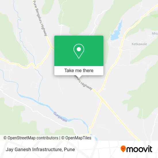
See Jay Ganesh Infrastructure, Bhor, on the map
Public Transit to Jay Ganesh Infrastructure in Bhor
Wondering how to get to Jay Ganesh Infrastructure in Bhor? Moovit helps you find the best way to get to Jay Ganesh Infrastructure with step-by-step directions from the nearest public transit station.
Moovit provides free maps and live directions to help you navigate through your city. View schedules, routes, timetables, and find out how long does it take to get to Jay Ganesh Infrastructure in real time.
Looking for the nearest stop or station to Jay Ganesh Infrastructure? Check out this list of stops closest to your destination: Khutwad Wasti.
Bus: 293, 61.
Want to see if there’s another route that gets you there at an earlier time? Moovit helps you find alternative routes or times. Get directions from and directions to Jay Ganesh Infrastructure easily from the Moovit App or Website.
We make riding to Jay Ganesh Infrastructure easy, which is why over 1.5 million users, including users in Bhor, trust Moovit as the best app for public transit. You don’t need to download an individual bus app or train app, Moovit is your all-in-one transit app that helps you find the best bus time or train time available.
For information on prices of bus, costs and ride fares to Jay Ganesh Infrastructure, please check the Moovit app.
Use the app to navigate to popular places including to the airport, hospital, stadium, grocery store, mall, coffee shop, school, college, and university.
Jay Ganesh Infrastructure Address: Service Road भोर उप-जिला 412213 MH street in Bhor
- Bharat Petroleum,
- Hotelroyal,
- Samarth Tea Stall,
- Hoteldakhan Pathar,
- Hotel Ranvara,
- Gramdaivat Shri Bapdev Mandir,
- Rathod Dhaba,
- Rajmudra Tea & Snacks Center,
- Jai Maharashtra Service Center,
- Balaji Pure Veg & Snacks,
- Narayanpur,
- Shreenath Wadewale,
- Shambhuraj Electronics,
- Premacha Chaha,
- Diya Enterprises,
- kapurhol,
- Hotel Anand, Kapurhol,
- Raviraj Pushpa Bhandar,
- Hotelsoham,
- Sanskruti Ice Cream
Places Near Jay Ganesh Infrastructure (Bhor)
- Pvr Icon - Pavilion Mall, Pune & Velhe,
- Sarasbaug, Pune & Velhe,
- BAPS Shri Swaminarayan Mandir, Pune & Velhe,
- Westend Mall, Pune & Velhe,
- Dagdusheth Halwai Ganpati Mandir, Pune & Velhe,
- Tulshibaug, Pune & Velhe,
- Symbiosis Lavale Bus Stop, Pune & Velhe,
- Pune Okayama Friendship Garden, Pune & Velhe,
- ISKCON Pune, Pune & Velhe,
- Cognizant Deccan Campus (CDC), Paud,
- Senapati Bapat Road, Pune & Velhe,
- Fc Road, Pune & Velhe,
- Ion Digital Zone, Pune & Velhe,
- Laxmi Road, Pune & Velhe,
- Dagadusheth Halwai Ganapati Temple, Pune & Velhe,
- Vishwakarma Institute Of Technology (Vit), Pune & Velhe,
- Swaminarayan Mandir, Pune & Velhe,
- M G Road, Pune & Velhe,
- Chaturshringi Temple, Pune & Velhe,
- ISKCON Nvcc Temple, Pune & Velhe
How to get to popular places in Pune with public transit
Get around Bhor by public transit!
Traveling around Bhor has never been so easy. See step by step directions as you travel to any attraction, street or major public transit station. View bus and train schedules, arrival times, service alerts and detailed routes on a map, so you know exactly how to get to anywhere in Bhor.
When traveling to any destination around Bhor use Moovit's Live Directions with Get Off Notifications to know exactly where and how far to walk, how long to wait for your line, and how many stops are left. Moovit will alert you when it's time to get off — no need to constantly re-check whether yours is the next stop.
Wondering how to use public transit in Bhor or how to pay for public transit in Bhor? Moovit public transit app can help you navigate your way with public transit easily, and at minimum cost. It includes public transit fees, ticket prices, and costs. Looking for a map of Bhor public transit lines? Moovit public transit app shows all public transit maps in Bhor with all Bus, Train and Metro routes and stops on an interactive map.
Pune has 3 transit type(s), including: Bus, Train and Metro, operated by several transit agencies, including Pune Metro (Maha Metro), PMPML, PMPML Night Bus Service (Ratrani) and Central Railways (Indian Railways)