How to get to Jazzercise by bus?
Click on the bus route to see step by step directions with maps, line arrival times and updated time schedules.
From City of Oakland Park, Fort Lauderdale
43 minFrom Banco Davivienda sa Miami Internatl Branch, Fort Lauderdale
77 minFrom North Area Transportation Terminal, Pompano Beach
48 minFrom Ross, Fort Lauderdale
28 minFrom Mai-Kai Restaurant And Polynesian Show, Fort Lauderdale
27 minFrom Galleria at Fort Lauderdale (Galleria Mall At Fort Lauderdale), Fort Lauderdale
46 minFrom Galleria Mall, Fort Lauderdale
73 minFrom Holy Cross Hospital, Fort Lauderdale
26 minFrom Cam Transfer, Coral Springs-Margate
55 minFrom Margate, FL, Coral Springs-Margate
62 min
Bus stops near Jazzercise in Pompano Beach
Bus lines to Jazzercise in Pompano Beach
What are the closest stations to Jazzercise?
The closest stations to Jazzercise are:
- US 1/Northeast 6th Street South is 341 yards away, 5 min walk.
- Atlantic Boulevard/Southeast 18th Avenue is 766 yards away, 10 min walk.
Which bus lines stop near Jazzercise?
These bus lines stop near Jazzercise: 10, 42.
What’s the nearest bus station to Jazzercise in Pompano Beach?
The nearest bus station to Jazzercise in Pompano Beach is US 1/Northeast 6th Street South. It’s a 5 min walk away.
What time is the first bus to Jazzercise in Pompano Beach?
The 10 is the first bus that goes to Jazzercise in Pompano Beach. It stops nearby at 5:12 AM.
What time is the last bus to Jazzercise in Pompano Beach?
The 10 is the last bus that goes to Jazzercise in Pompano Beach. It stops nearby at 11:50 PM.
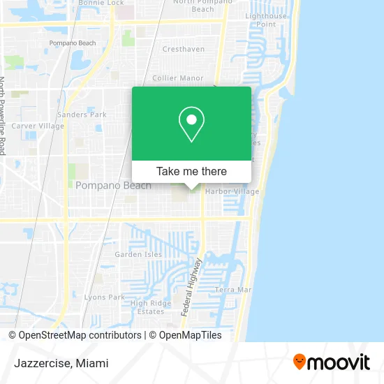
See Jazzercise, Pompano Beach, on the map
Public Transit to Jazzercise in Pompano Beach
Wondering how to get to Jazzercise in Pompano Beach? Moovit helps you find the best way to get to Jazzercise with step-by-step directions from the nearest public transit station.
Moovit provides free maps and live directions to help you navigate through your city. View schedules, routes, timetables, and find out how long does it take to get to Jazzercise in real time.
Looking for the nearest stop or station to Jazzercise? Check out this list of stops closest to your destination: US 1/Northeast 6th Street South; Atlantic Boulevard/Southeast 18th Avenue.
Bus: 10, 42.
Want to see if there’s another route that gets you there at an earlier time? Moovit helps you find alternative routes or times. Get directions from and directions to Jazzercise easily from the Moovit App or Website.
We make riding to Jazzercise easy, which is why over 1.5 million users, including users in Pompano Beach, trust Moovit as the best app for public transit. You don’t need to download an individual bus app or train app, Moovit is your all-in-one transit app that helps you find the best bus time or train time available.
For information on prices of bus, costs and ride fares to Jazzercise, please check the Moovit app.
Use the app to navigate to popular places including to the airport, hospital, stadium, grocery store, mall, coffee shop, school, college, and university.
Jazzercise Address: 1801 NE 6th St Pompano Beach, FL 33060 street in Pompano Beach
- City of Pompano Beach Parks & Recreation,
- Acontece,
- Floridasunfest Corp,
- Pompano Beach Amphitheater - the Amp,
- 1950 NE 6th St Parking,
- Mortgages with Sean,
- Psychic Love Insight,
- Adam Chesla Reptiles,
- AA Gateway Lock and Key,
- Post Office,
- N US-1,
- Arancinus Corporation,
- Cash 4 Collectibles,
- Whole Green Cafe,
- Vista Motor Company,
- Volkswagen of Pompano Beach,
- Centennial Bank,
- 2114 NE 4th St,
- Bright Choice Funding,
- Carlucs Seafood and Caribbean Cuisine
Places Near Jazzercise (Pompano Beach)
- Miami VA Hospital, Miami,
- Port of Miami Cruise Terminal, Miami,
- Marlins Park, Miami,
- Richard E. Gerstein Justice Building, Miami,
- Little Havana, Miami,
- Dolphin Mall Bus, Miami,
- Miami Design District, Miami,
- Aventura Mall, Miami,
- Miami-Dade County Courthouse, Miami,
- Wynwood, Miami,
- Hard Rock Stadium, Miami Gardens,
- Bayside Marketplace, Miami,
- Brickell City Centre, Miami,
- Sawgrass Mall, Miami,
- Dolphin Mall, Miami,
- Sawgrass mall ( FL ), Miami Beach,
- Aventura Mall, Miami Beach,
- Miami Freedom Park, Miami,
- Keiser University Flagship Campus, West Palm Beach,
- Zoo Miami, Miami
How to get to popular places in Miami with public transit
Get around Pompano Beach by public transit!
Traveling around Pompano Beach has never been so easy. See step by step directions as you travel to any attraction, street or major public transit station. View bus and train schedules, arrival times, service alerts and detailed routes on a map, so you know exactly how to get to anywhere in Pompano Beach.
When traveling to any destination around Pompano Beach use Moovit's Live Directions with Get Off Notifications to know exactly where and how far to walk, how long to wait for your line, and how many stops are left. Moovit will alert you when it's time to get off — no need to constantly re-check whether yours is the next stop.
Wondering how to use public transit in Pompano Beach or how to pay for public transit in Pompano Beach? Moovit public transit app can help you navigate your way with public transit easily, and at minimum cost. It includes public transit fees, ticket prices, and costs. Looking for a map of Pompano Beach public transit lines? Moovit public transit app shows all public transit maps in Pompano Beach with all Bus, Train, Light Rail and Ferry routes and stops on an interactive map.
Miami has 4 transit type(s), including: Bus, Train, Light Rail and Ferry, operated by several transit agencies, including Broward County Transit, Miami-Dade Transit, Metrorail, Palm Tran, Tri-Rail, Brightline, MARTY, City of Homestead Trolley, Key West Transit, Treasure Coast Connector, GoLine IRT, Amtrak, Greyhound-us, FlixBus-us and Aventura Express Shuttle Bus