How to get to Jeremiah Baron Development by bus?
Click on the bus route to see step by step directions with maps, line arrival times and updated time schedules.
From Tradition Park, Port St. Lucie
178 minFrom Clover Park, Port St. Lucie
183 minFrom US-1 / SE Port St Lucie Blvd, Port St. Lucie
38 minFrom US-1, Fort Pierce
66 minFrom Suncoast High School, Riviera Beach
171 minFrom Donald Ross Rd / Military Trl, Jupiter
148 minFrom Indian River State College, Fort Pierce
135 minFrom Hca Florida Lawnwood Hospital, Fort Pierce
117 minFrom CVS Pharmacy - (Lyngate Dr), Port St. Lucie
53 minFrom William T. Dwyer High School, Jupiter
162 min
Bus stops near Jeremiah Baron Development in Stuart
What are the closest stations to Jeremiah Baron Development?
The closest stations to Jeremiah Baron Development are:
- KIWANIS P-N-R (DOWNTOWN) is 439 yards away, 6 min walk.
- US 1 & KANNER HWY is 1155 yards away, 14 min walk.
Which bus line stops near Jeremiah Baron Development?
1 (Robert Morgade Library)
What’s the nearest bus station to Jeremiah Baron Development in Stuart?
The nearest bus station to Jeremiah Baron Development in Stuart is KIWANIS P-N-R (DOWNTOWN). It’s a 6 min walk away.
What time is the first bus to Jeremiah Baron Development in Stuart?
The 1 is the first bus that goes to Jeremiah Baron Development in Stuart. It stops nearby at 6:11 AM.
What time is the last bus to Jeremiah Baron Development in Stuart?
The 3 is the last bus that goes to Jeremiah Baron Development in Stuart. It stops nearby at 7:52 PM.
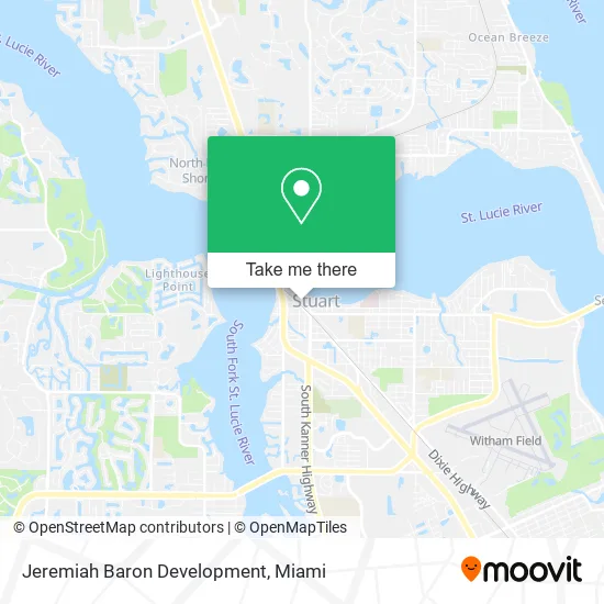
See Jeremiah Baron Development, Stuart, on the map
Public Transit to Jeremiah Baron Development in Stuart
Wondering how to get to Jeremiah Baron Development in Stuart? Moovit helps you find the best way to get to Jeremiah Baron Development with step-by-step directions from the nearest public transit station.
Moovit provides free maps and live directions to help you navigate through your city. View schedules, routes, timetables, and find out how long does it take to get to Jeremiah Baron Development in real time.
Looking for the nearest stop or station to Jeremiah Baron Development? Check out this list of stops closest to your destination: KIWANIS P-N-R (DOWNTOWN); US 1 & KANNER HWY.
Bus: 1, 3.
Want to see if there’s another route that gets you there at an earlier time? Moovit helps you find alternative routes or times. Get directions from and directions to Jeremiah Baron Development easily from the Moovit App or Website.
We make riding to Jeremiah Baron Development easy, which is why over 1.5 million users, including users in Stuart, trust Moovit as the best app for public transit. You don’t need to download an individual bus app or train app, Moovit is your all-in-one transit app that helps you find the best bus time or train time available.
For information on prices of bus, costs and ride fares to Jeremiah Baron Development, please check the Moovit app.
Get to Jeremiah Baron Development with public transit and pay for the ride in the Moovit app. In addition to all info you may need for your trip to Jeremiah Baron Development, including live directions, real-time arrivals and fare prices, you can also buy public transit passes for your rides. No need for cash or paper tickets to get to Jeremiah Baron Development - everything you need is accessible in the app with a click of the button.
Use the app to navigate to popular places including to the airport, hospital, stadium, grocery store, mall, coffee shop, school, college, and university.
Jeremiah Baron Development Address: 49 SW Flagler Ave Stuart, FL 34994 street in Stuart
- Spring Step,
- Diena Maes Beach and Sandal Shack,
- Sanpin Logistics Landstar,
- The Mark Fine Art Gallery and Studio,
- Livia Debonet Photography,
- Michel Design Works,
- Pandora,
- Muscle Craft Distillery,
- Lake Charles Port St Lucie,
- Stuart Riverwalk,
- Dirty South Bar,
- The Gypsea Cottage,
- House of Phoenix,
- Martin County Community Foundation,
- Level Four Wealth Management,
- Must Boutique,
- Stuart Arcade Associate,
- Rhetta B's Downtown,
- Rock'n Riverwalk,
- Vetu
Places Near Jeremiah Baron Development (Stuart)
- Zoo Miami, Miami,
- Aventura Mall, Miami,
- Dolphin Mall, Miami,
- Miami Freedom Park, Miami,
- 1351 NW 12th St, Miami,
- Sawgrass mall ( FL ), Miami Beach,
- Dolphin Mall Bus, Miami,
- Richard E. Gerstein Justice Building, Miami,
- Aventura Mall, Miami Beach,
- Brickell City Centre, Miami,
- Marlins Park, Miami,
- Sawgrass Mall, Miami,
- Hard Rock Stadium, Miami Gardens,
- Wynwood, Miami,
- Port of Miami Cruise Terminal, Miami,
- Bayside Marketplace, Miami,
- Miami-Dade County Courthouse, Miami,
- Miami Design District, Miami,
- Little Havana, Miami,
- Keiser University Flagship Campus, West Palm Beach
How to get to popular places in Miami with public transit
Get around Stuart by public transit!
Traveling around Stuart has never been so easy. See step by step directions as you travel to any attraction, street or major public transit station. View bus and train schedules, arrival times, service alerts and detailed routes on a map, so you know exactly how to get to anywhere in Stuart.
When traveling to any destination around Stuart use Moovit's Live Directions with Get Off Notifications to know exactly where and how far to walk, how long to wait for your line, and how many stops are left. Moovit will alert you when it's time to get off — no need to constantly re-check whether yours is the next stop.
Wondering how to use public transit in Stuart or how to pay for public transit in Stuart? Moovit public transit app can help you navigate your way with public transit easily, and at minimum cost. It includes public transit fees, ticket prices, and costs. Looking for a map of Stuart public transit lines? Moovit public transit app shows all public transit maps in Stuart with all Bus, Train, Light Rail and Ferry routes and stops on an interactive map.
Miami has 4 transit type(s), including: Bus, Train, Light Rail and Ferry, operated by several transit agencies, including Broward County Transit, Miami-Dade Transit, Metrorail, Palm Tran, Tri-Rail, Brightline, MARTY, City of Homestead Trolley, Key West Transit, Treasure Coast Connector, GoLine IRT, Amtrak, Greyhound-us, FlixBus-us and Aventura Express Shuttle Bus