Directions to Jet Service (Washington, D.C. - Baltimore, MD) with public transportation
The following transit lines have routes that pass near Jet Service
How to get to Jet Service by bus?
Click on the bus route to see step by step directions with maps, line arrival times and updated time schedules.
From Walmart Supercenter, Montgomery County
193 minFrom I-270 Exit 10 (Clopper Rd. / West Diamond Ave.), Montgomery County
184 minFrom Clarksburg Premium Outlets, Montgomery County
211 minFrom Montgomery Village, Maryland, Montgomery County
204 minFrom Montgomery County Fairgrounds, Montgomery County
214 minFrom Astrazeneca HQ, Montgomery County
189 minFrom Kaiser Permanente - Gaithersburg Medical Center, Montgomery County
217 minFrom Germantown, Maryland, Montgomery County
234 minFrom Clarksburg Premium Outlets, Montgomery County
202 min
Bus stops near Jet Service in Washington, D.C. - Baltimore, MD
Bus lines to Jet Service in Washington, D.C. - Baltimore, MD
What are the closest stations to Jet Service?
The closest stations to Jet Service are:
- Rutters Walkersville is 1504 yards away, 18 min walk.
- Walkers Village Shopping Center (Safeway) is 1744 yards away, 21 min walk.
Which bus line stops near Jet Service?
65 (Walkersville)
What time is the first bus to Jet Service in Washington, D.C. - Baltimore, MD?
The WALKERSVILLE MEET-THE-MARC SHUTTLE is the first bus that goes to Jet Service in Washington, D.C. - Baltimore, MD. It stops nearby at 5:20 AM.
What time is the last bus to Jet Service in Washington, D.C. - Baltimore, MD?
The 65 is the last bus that goes to Jet Service in Washington, D.C. - Baltimore, MD. It stops nearby at 9:43 PM.
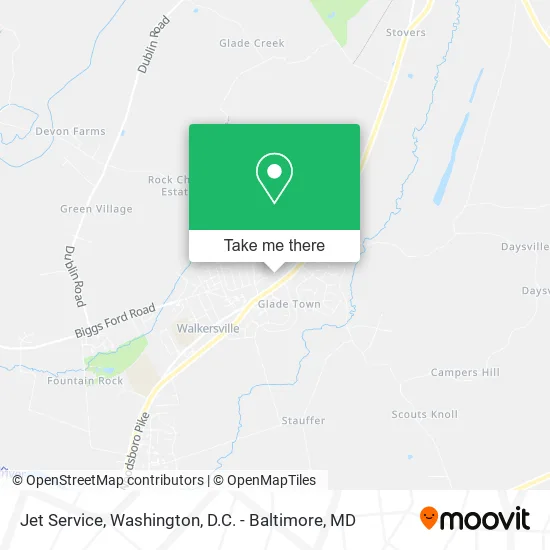
See Jet Service, Washington, D.C. - Baltimore, MD, on the map
Public Transit to Jet Service in Washington, D.C. - Baltimore, MD
Wondering how to get to Jet Service in Washington, D.C. - Baltimore, MD? Moovit helps you find the best way to get to Jet Service with step-by-step directions from the nearest public transit station.
Moovit provides free maps and live directions to help you navigate through your city. View schedules, routes, timetables, and find out how long does it take to get to Jet Service in real time.
Looking for the nearest stop or station to Jet Service? Check out this list of stops closest to your destination: Rutters Walkersville; Walkers Village Shopping Center (Safeway).
Bus: 65, WALKERSVILLE MEET-THE-MARC SHUTTLE.
Want to see if there’s another route that gets you there at an earlier time? Moovit helps you find alternative routes or times. Get directions from and directions to Jet Service easily from the Moovit App or Website.
We make riding to Jet Service easy, which is why over 1.5 million users, including users in Washington, D.C. - Baltimore, MD, trust Moovit as the best app for public transit. You don’t need to download an individual bus app or train app, Moovit is your all-in-one transit app that helps you find the best bus time or train time available.
For information on prices of bus and train, costs and ride fares to Jet Service, please check the Moovit app.
Get to Jet Service with public transit and pay for the ride in the Moovit app. In addition to all info you may need for your trip to Jet Service, including live directions, real-time arrivals and fare prices, you can also buy public transit passes for your rides. No need for cash or paper tickets to get to Jet Service - everything you need is accessible in the app with a click of the button.
Use the app to navigate to popular places including to the airport, hospital, stadium, grocery store, mall, coffee shop, school, college, and university.
Jet Service Address: 9372 Highlander Blvd Walkersville, MD 21793 street in Washington, D.C. - Baltimore, MD
- Sean M Donegan,
- Precious Memories Home Daycare,
- Gemma Manino,
- Glade Towne Community Pool,
- L P Calomeris Realty,
- Behnaz Babazadeh,
- Acer Landscapes,
- Health4matt,
- Saba, Ramez,
- Washington Homes,
- Face Paint by Vicki ,
- Sure Fellowship Church,
- KV Contracting,
- Accent Hair & Nails,
- Samantha Chiorazzo Pa-C,
- Jessica Cole CRNP,
- Marsha Shaw M.D.,
- Fox & Country,
- Matt Conley,
- Saint Timothy Catholic Church
Places Near Jet Service (Washington, D.C. - Baltimore, MD)
- Washington National Cathedral, Washington,
- Rock Creek Tennis Center, Washington,
- Pennsylvania Ave NW (3rd st and pennsylvania), Washington,
- M&T Bank Stadium, Baltimore,
- Sibley Memorial Hospital, Washington,
- Warner Theatre, Washington,
- National Mall, Washington,
- PG Mall, Prince George's County,
- Camden Yards, Baltimore,
- Capital One Arena, Washington,
- Washington DC VA Medical Center, Washington,
- Museum Of The Bible, Washington,
- Basilica of the National Shrine, Washington,
- National Museum of African American History and Culture, Washington,
- The Anthem, Washington,
- Georgetown, Washington,
- Westfield Montgomery Mall, Montgomery County,
- Amazon Hq2, Arlington County,
- Marriott Marquis Washington, DC, Washington,
- National Zoo, Washington
How to get to popular places in Washington, D.C. - Baltimore, MD with public transit
Get around Washington, D.C. - Baltimore, MD by public transit!
Traveling around Washington, D.C. - Baltimore, MD has never been so easy. See step by step directions as you travel to any attraction, street or major public transit station. View bus and train schedules, arrival times, service alerts and detailed routes on a map, so you know exactly how to get to anywhere in Washington, D.C. - Baltimore, MD.
When traveling to any destination around Washington, D.C. - Baltimore, MD use Moovit's Live Directions with Get Off Notifications to know exactly where and how far to walk, how long to wait for your line, and how many stops are left. Moovit will alert you when it's time to get off — no need to constantly re-check whether yours is the next stop.
Wondering how to use public transit in Washington, D.C. - Baltimore, MD or how to pay for public transit in Washington, D.C. - Baltimore, MD? Moovit public transit app can help you navigate your way with public transit easily, and at minimum cost. It includes public transit fees, ticket prices, and costs. Looking for a map of Washington, D.C. - Baltimore, MD public transit lines? Moovit public transit app shows all public transit maps in Washington, D.C. - Baltimore, MD with all Bus, Train, Metro, Light Rail and Ferry routes and stops on an interactive map.
Washington, D.C. - Baltimore, MD has 5 transit type(s), including: Bus, Train, Metro, Light Rail and Ferry, operated by several transit agencies, including WMATA, Montgomery County Ride On, Fairfax Connector, TheBus, PRTC, DASH - Alexandria, Arlington Transit (ART), RTA of Central Maryland, MDOT MTA, MDOT MTA Light RailLink, MDOT MTA Commuter Bus, MDOT MTA Local Bus, FXBGO!, Virginia Railway Express (VRE) and MARC