How to get to Jsenges Cenografia by bus?
Click on the bus route to see step by step directions with maps, line arrival times and updated time schedules.
From Freeway Barra, Barra Da Tijuca
55 minFrom Avenida Treze de Maio 13, Centro
37 minFrom Largo Do Boi Tolo, Centro
48 minFrom Urca, Urca
60 minFrom Avenida Geremario Dantas, Pechincha
55 minFrom Rua Joaquim Gomes, 269, Ramos
48 minFrom Cidade Universitária, Cidade Universitária (Fundão)
42 minFrom Pier Mauá, Saúde
48 minFrom Catedral Del Castilho Universal, Del Castilho
47 minFrom Previdencia Social - Ramos, Ramos
48 min
How to get to Jsenges Cenografia by metro?
Click on the metro route to see step by step directions with maps, line arrival times and updated time schedules.
Bus stops near Jsenges Cenografia in Tijuca
Metro stations near Jsenges Cenografia in Tijuca
Bus lines to Jsenges Cenografia in Tijuca
- 603, Usina (Via São Miguel),VIEW
- 220, Usina - Candelária (Brs 2 - Via Saens Peña / Central),VIEW
- 229, Usina - Castelo / Carioca (Brs 2 - Via Saens Peña),VIEW
- 415, Usina - Leblon (Brs 2 - Via Aterro / Lagoa),VIEW
- SN 415, Usina - Leblon (BRS 2 - via Lapa / Praia do Flamengo),VIEW
- 426, Usina - Jardim de Alah (Brs 2 - Via Rio Comprido / Túnel Santa Bárbara),VIEW
- 488L, Caxias,VIEW
- 301, Terminal Gentileza - Terminal Alvorada (Brs 5 - Via Av. das Américas),VIEW
- 302, Terminal Gentileza - Terminal Alvorada (Brs 5 - Via Barrinha / Praia da Barra),VIEW
- 645, Alvorada - Saens Peña (Via Av. das Américas),VIEW
What are the closest stations to Jsenges Cenografia?
The closest stations to Jsenges Cenografia are:
- Rua São Miguel, 600 is 19 meters away, 2 min walk.
- Rua Santa Carolina, 10 is 33 meters away, 2 min walk.
- Ponto Final - Usina is 97 meters away, 3 min walk.
- Rua Conde De Bonfim, 1252 is 136 meters away, 3 min walk.
- Saens Peña is 1093 meters away, 15 min walk.
- Maracanã is 2470 meters away, 32 min walk.
Which bus lines stop near Jsenges Cenografia?
These bus lines stop near Jsenges Cenografia: 301, 302, 415, 488L, 645.
Which metro line stops near Jsenges Cenografia?
L1, L4 (Uruguai)
What’s the nearest metro station to Jsenges Cenografia in Tijuca?
The nearest metro station to Jsenges Cenografia in Tijuca is Saens Peña. It’s a 15 min walk away.
What’s the nearest bus station to Jsenges Cenografia in Tijuca?
The nearest bus stations to Jsenges Cenografia in Tijuca are Rua São Miguel, 600 and Rua Santa Carolina, 10. The closest one is a 2 min walk away.
What time is the first metro to Jsenges Cenografia in Tijuca?
The L1, L4 is the first metro that goes to Jsenges Cenografia in Tijuca. It stops nearby at 5:00 AM.
What time is the last metro to Jsenges Cenografia in Tijuca?
The L1, L4 is the last metro that goes to Jsenges Cenografia in Tijuca. It stops nearby at 12:42 AM.
What time is the first bus to Jsenges Cenografia in Tijuca?
The SN 415 is the first bus that goes to Jsenges Cenografia in Tijuca. It stops nearby at 3:00 AM.
What time is the last bus to Jsenges Cenografia in Tijuca?
The SN 415 is the last bus that goes to Jsenges Cenografia in Tijuca. It stops nearby at 3:51 AM.
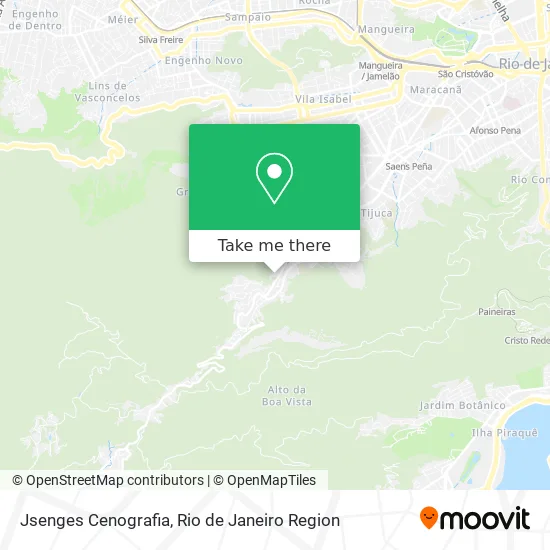
See Jsenges Cenografia, Tijuca, on the map
Public Transit to Jsenges Cenografia in Tijuca
Wondering how to get to Jsenges Cenografia in Tijuca? Moovit helps you find the best way to get to Jsenges Cenografia with step-by-step directions from the nearest public transit station.
Moovit provides free maps and live directions to help you navigate through your city. View schedules, routes, timetables, and find out how long does it take to get to Jsenges Cenografia in real time.
Looking for the nearest stop or station to Jsenges Cenografia? Check out this list of stops closest to your destination: Rua São Miguel; Rua Santa Carolina; Ponto Final - Usina; Rua Conde De Bonfim; Saens Peña; Maracanã.
Bus: 301, 302, 415, 488L, 645, 603, 220, 229, SN 415, 426.Metro: L1, L4, L2.
Want to see if there’s another route that gets you there at an earlier time? Moovit helps you find alternative routes or times. Get directions from and directions to Jsenges Cenografia easily from the Moovit App or Website.
We make riding to Jsenges Cenografia easy, which is why over 1.5 million users, including users in Tijuca, trust Moovit as the best app for public transit. You don’t need to download an individual bus app or train app, Moovit is your all-in-one transit app that helps you find the best bus time or train time available.
For information on prices of bus, metro and light rail, costs and ride fares to Jsenges Cenografia, please check the Moovit app.
Use the app to navigate to popular places including to the airport, hospital, stadium, grocery store, mall, coffee shop, school, college, and university.
Jsenges Cenografia Address: Rua Santa Carolina, 42 Tijuca Rio de Janeiro-RJ 20530-370 street in Tijuca
- Rua Santa Carolina 30,
- Rua Santa Carolina Próximo ao 24,
- Instituto das Irmãs Oblatas Santíssimo Redentor / Comunidade Nazaré,
- CEFET,
- Posto Ipiranga Usina,
- Rodoviária Da Usina,
- Buxixo Chopperia,
- Buxixo Chopperia (Buxixo Da Tijuca Chopp),
- Supermercado Rede Economia,
- Largo da Usina,
- Mix Box Roupas E Acessorios,
- Avenida Maracanã, 987,
- Região Administrativa Da Tijuca,
- Condomínio Solar da Floresta,
- Mega Pvc,
- Myla Esquadrias de Ferro e Alumínio,
- Morro do Borel,
- Rua Conde de Bonfim 1250/201,
- Anacarol,
- Usina
Places Near Jsenges Cenografia (Tijuca)
- Feira Livre da Gloria, Glória,
- Feirão De Malhas, Duque De Caxias,
- Rio De Janeiro,
- Avenida Venezuela 134, Saúde,
- Hospital Municipal Ronaldo Gazolla, Acari,
- Museu Do Amanhã, Centro,
- Hospital Federal Do Andaraí, Andaraí,
- Avenida Rio Branco, Centro,
- Rodoviária Novo Rio (Rodoviária do Rio de Janeiro), Santo Cristo,
- Shopping Rio Sul, Botafogo,
- Shopping Downtown, Barra Da Tijuca,
- Shopping Nova América, Del Castilho,
- Rua Ulysses Guimarães 16, Cidade Nova,
- Niterói, Niterói,
- Praia do Arpoador, Ipanema,
- Hospital Federal Cardoso Fontes, Jacarepaguá,
- Rua Licínio Cardoso, São Francisco Xavier,
- Shopping RioSul, Botafogo,
- Norte Shopping, Cachambi,
- Hospital Pedro Ernesto, Vila Isabel
How to get to popular places in Rio de Janeiro Region with public transit
Get around Tijuca by public transit!
Traveling around Tijuca has never been so easy. See step by step directions as you travel to any attraction, street or major public transit station. View bus and train schedules, arrival times, service alerts and detailed routes on a map, so you know exactly how to get to anywhere in Tijuca.
When traveling to any destination around Tijuca use Moovit's Live Directions with Get Off Notifications to know exactly where and how far to walk, how long to wait for your line, and how many stops are left. Moovit will alert you when it's time to get off — no need to constantly re-check whether yours is the next stop.
Wondering how to use public transit in Tijuca or how to pay for public transit in Tijuca? Moovit public transit app can help you navigate your way with public transit easily, and at minimum cost. It includes public transit fees, ticket prices, and costs. Looking for a map of Tijuca public transit lines? Moovit public transit app shows all public transit maps in Tijuca with all Bus, Train, Metro, Light Rail, Ferry, Cable Car, Gondola and Funicular routes and stops on an interactive map.
Rio de Janeiro Region has 8 transit type(s), including: Bus, Train, Metro, Light Rail, Ferry, Cable Car, Gondola and Funicular, operated by several transit agencies, including TrensRJ, Metrô Rio, VLT Carioca, Barcas Rio, BRT MOBI-Rio, Auto Viação Alpha, Auto Viação Tijuca, Gire Transportes, Transurb, Viação Nossa Senhora das Graças, Consórcio INTERSUL, Braso Lisboa (Municipal), Caprichosa Auto Ônibus, Auto Viação Três Amigos and Rodoviária Âncora Matias