How to get to Jump Base by bus?
Click on the bus route to see step by step directions with maps, line arrival times and updated time schedules.
Bus stops near Jump Base in Staten Island
Subway station near Jump Base in Staten Island
- Stapleton, 7 min walk,VIEW
Bus lines to Jump Base in Staten Island
What are the closest stations to Jump Base?
The closest stations to Jump Base are:
- Vanderbilt Av/Tompkins Av is 203 yards away, 3 min walk.
- Tompkins Av/Vanderbilt Av is 223 yards away, 3 min walk.
- Stapleton is 524 yards away, 7 min walk.
Which bus lines stop near Jump Base?
These bus lines stop near Jump Base: S52, S76, S78, SIM33C.
What’s the nearest subway station to Jump Base in Staten Island?
The nearest subway station to Jump Base in Staten Island is Stapleton. It’s a 7 min walk away.
What’s the nearest bus station to Jump Base in Staten Island?
The nearest bus stations to Jump Base in Staten Island are Vanderbilt Av/Tompkins Av and Tompkins Av/Vanderbilt Av. The closest one is a 3 min walk away.
What time is the first subway to Jump Base in Staten Island?
The SIR is the first subway that goes to Jump Base in Staten Island. It stops nearby at 3:03 AM.
What time is the last subway to Jump Base in Staten Island?
The SIR is the last subway that goes to Jump Base in Staten Island. It stops nearby at 3:13 AM.
What time is the first bus to Jump Base in Staten Island?
The S78 is the first bus that goes to Jump Base in Staten Island. It stops nearby at 3:09 AM.
What time is the last bus to Jump Base in Staten Island?
The S78 is the last bus that goes to Jump Base in Staten Island. It stops nearby at 3:42 AM.
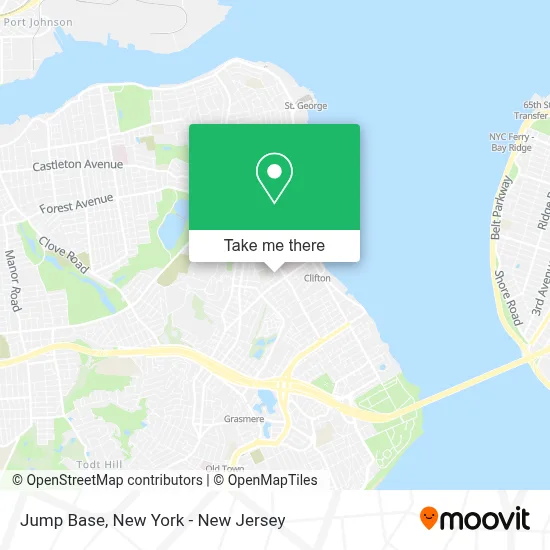
See Jump Base, Staten Island, on the map
Public Transit to Jump Base in Staten Island
Wondering how to get to Jump Base in Staten Island? Moovit helps you find the best way to get to Jump Base with step-by-step directions from the nearest public transit station.
Moovit provides free maps and live directions to help you navigate through your city. View schedules, routes, timetables, and find out how long does it take to get to Jump Base in real time.
Looking for the nearest stop or station to Jump Base? Check out this list of stops closest to your destination: Vanderbilt Av/Tompkins Av; Tompkins Av/Vanderbilt Av; Stapleton.
Bus: S52, S76, S78, SIM33C, S86, SIM30.Subway: SIR.
Want to see if there’s another route that gets you there at an earlier time? Moovit helps you find alternative routes or times. Get directions from and directions to Jump Base easily from the Moovit App or Website.
We make riding to Jump Base easy, which is why over 1.5 million users, including users in Staten Island, trust Moovit as the best app for public transit. You don’t need to download an individual bus app or train app, Moovit is your all-in-one transit app that helps you find the best bus time or train time available.
For information on prices of bus, train and subway, costs and ride fares to Jump Base, please check the Moovit app.
Use the app to navigate to popular places including to the airport, hospital, stadium, grocery store, mall, coffee shop, school, college, and university.
Jump Base Address: 149 Pine Pl street in Staten Island
- Mcnair Makeup (Kim Mcnair),
- Stapleton,
- United States Postal Service,
- Vigo Notary,
- Usps,
- 721R - The Richard H. Hungerford School,
- Muse Spa & Studio,
- MTA Bus - Tompkins Av & Vanderbilt Av (S52 / S76 / S78 / S86),
- The Hungerford School Pta,
- 165 Vanderbilt Avenue,
- Gotham Health Radiology | Vanderbilt,
- Tompkins Ave (tompkins ave & vanderbilt),
- Coney Island Hospital,
- PS 78,
- The Eagle Academy for Young Men of Staten Island,
- Ps 14 Cornelius Vanderbilt,
- New York City Board Of Education,
- New Vanderbilt Skilled Nursing Facility,
- Rehab Center Rehab Center,
- New Vanderbilt Rehabilitation and Care Center
Places Near Jump Base (Staten Island)
- 26 Federal Plaza, Manhattan,
- qqqq, Manhattan,
- Mountainside Hospital, Glen Ridge,
- 3 Stone St, Manhattan,
- Bellevue Hospital, Manhattan,
- San Gennaro Feast, Manhattan,
- Chinatown, Manhattan,
- 1 Police Plaza, Manhattan,
- Rockefeller Center, Manhattan,
- Katz's Deli, Manhattan,
- 376 Hudson Street, Manhattan,
- 66 John Street, Manhattan,
- Wall Street, Manhattan,
- SoHo, Manhattan,
- Hudson Yards, Manhattan,
- Queens Center Mall, Queens,
- 911 Memorial, Manhattan,
- Times Square, Manhattan,
- 111 Centre New York City Supreme Court, Manhattan,
- Pier 83, Manhattan
How to get to popular places in New York - New Jersey with public transit
Get around Staten Island by public transit!
Traveling around Staten Island has never been so easy. See step by step directions as you travel to any attraction, street or major public transit station. View bus and train schedules, arrival times, service alerts and detailed routes on a map, so you know exactly how to get to anywhere in Staten Island.
When traveling to any destination around Staten Island use Moovit's Live Directions with Get Off Notifications to know exactly where and how far to walk, how long to wait for your line, and how many stops are left. Moovit will alert you when it's time to get off — no need to constantly re-check whether yours is the next stop.
Wondering how to use public transit in Staten Island or how to pay for public transit in Staten Island? Moovit public transit app can help you navigate your way with public transit easily, and at minimum cost. It includes public transit fees, ticket prices, and costs. Looking for a map of Staten Island public transit lines? Moovit public transit app shows all public transit maps in Staten Island with all Bus, Train, Subway, Light Rail, Ferry and Cable Car routes and stops on an interactive map.
New York - New Jersey has 6 transit type(s), including: Bus, Train, Subway, Light Rail, Ferry and Cable Car, operated by several transit agencies, including MTA Subway, Metro-North Railroad, LIRR, PATH, MTA New York City Transit - Express routes, MTA Bus, NJ Transit, NYC Ferry, NICE bus, Bee-Line Bus, NJ Transit Rail, Norwalk Transit District, Hartford Line, River Valley Transit and HART