Directions to Jungle Lodge (Angra Dos Reis) with public transportation
The following transit lines have routes that pass near Jungle Lodge
How to get to Jungle Lodge by ferry?
Click on the ferry route to see step by step directions with maps, line arrival times and updated time schedules.
Ferry stations near Jungle Lodge in Angra Dos Reis
What are the closest stations to Jungle Lodge?
The closest stations to Jungle Lodge are:
- Estação Abraão (Ilha Grande) ⛴ is 1861 meters away, 24 min walk.
- Ilha Grande ⛴ is 2083 meters away, 27 min walk.
Which ferry lines stop near Jungle Lodge?
These ferry lines stop near Jungle Lodge: CONCEIÇÃO DE JACAREÍ - ILHA GRANDE, MANGARATIBA - ILHA GRANDE.
What’s the nearest ferry station to Jungle Lodge in Angra Dos Reis?
The nearest ferry station to Jungle Lodge in Angra Dos Reis is Estação Abraão (Ilha Grande) ⛴. It’s a 24 min walk away.
What time is the first ferry to Jungle Lodge in Angra Dos Reis?
The CONCEIÇÃO DE JACAREÍ - ILHA GRANDE is the first ferry that goes to Jungle Lodge in Angra Dos Reis. It stops nearby at 8:00 AM.
What time is the last ferry to Jungle Lodge in Angra Dos Reis?
The CONCEIÇÃO DE JACAREÍ - ILHA GRANDE is the last ferry that goes to Jungle Lodge in Angra Dos Reis. It stops nearby at 6:30 PM.
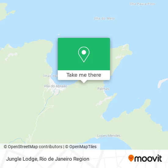
See Jungle Lodge, Angra Dos Reis, on the map
Public Transit to Jungle Lodge in Angra Dos Reis
Wondering how to get to Jungle Lodge in Angra Dos Reis? Moovit helps you find the best way to get to Jungle Lodge with step-by-step directions from the nearest public transit station.
Moovit provides free maps and live directions to help you navigate through your city. View schedules, routes, timetables, and find out how long does it take to get to Jungle Lodge in real time.
Looking for the nearest stop or station to Jungle Lodge? Check out this list of stops closest to your destination: Estação Abraão (Ilha Grande) ⛴; Ilha Grande ⛴.
Ferry: CONCEIÇÃO DE JACAREÍ - ILHA GRANDE, MANGARATIBA - ILHA GRANDE, ILHA GRANDE - ANGRA DOS REIS.
Want to see if there’s another route that gets you there at an earlier time? Moovit helps you find alternative routes or times. Get directions from and directions to Jungle Lodge easily from the Moovit App or Website.
We make riding to Jungle Lodge easy, which is why over 1.5 million users, including users in Angra Dos Reis, trust Moovit as the best app for public transit. You don’t need to download an individual bus app or train app, Moovit is your all-in-one transit app that helps you find the best bus time or train time available.
For information on prices of bus and ferry, costs and ride fares to Jungle Lodge, please check the Moovit app.
Use the app to navigate to popular places including to the airport, hospital, stadium, grocery store, mall, coffee shop, school, college, and university.
Jungle Lodge Address: Vila do Abraão Angra dos Reis-RJ street in Angra Dos Reis
- Praia do Morcego,
- Praia do Abraãozinho,
- Abraãozinho,
- Praia Da Crena,
- Praia de Guaxuma,
- Pousada Portal Do Sol,
- Praia Da Guaxuma,
- Toscanelli,
- Praia Da Bica,
- Praia Da Júlia,
- Praia da Crena Inn,
- Aquario Hostel,
- Aquário Pousada & Hostel,
- Aquario,
- Che Lagarto Hostels,
- Jd Turismo Nautico,
- Por do Sol Restaurant,
- Che Lagarto Hostel Ilha Grande,
- Pousada Porto Girassol,
- Pousada Cabanas Paraíso
Places Near Jungle Lodge (Angra Dos Reis)
- Shopping RioSul, Botafogo,
- Feira Livre da Gloria, Glória,
- Hospital Pedro Ernesto, Vila Isabel,
- Avenida Rio Branco, Centro,
- Niterói, Niterói,
- Hospital Federal Do Andaraí, Andaraí,
- Feirão De Malhas, Duque De Caxias,
- Museu Do Amanhã, Centro,
- Hospital Municipal Ronaldo Gazolla, Acari,
- Hospital Federal Cardoso Fontes, Jacarepaguá,
- Shopping Downtown, Barra Da Tijuca,
- Rodoviária Novo Rio (Rodoviária do Rio de Janeiro), Santo Cristo,
- Norte Shopping, Cachambi,
- Praia do Arpoador, Ipanema,
- Shopping Nova América, Del Castilho,
- Rio De Janeiro,
- Rua Ulysses Guimarães 16, Cidade Nova,
- Avenida Venezuela 134, Saúde,
- Shopping Rio Sul, Botafogo,
- Rua Licínio Cardoso, São Francisco Xavier
How to get to popular places in Rio de Janeiro Region with public transit
Get around Angra Dos Reis by public transit!
Traveling around Angra Dos Reis has never been so easy. See step by step directions as you travel to any attraction, street or major public transit station. View bus and train schedules, arrival times, service alerts and detailed routes on a map, so you know exactly how to get to anywhere in Angra Dos Reis.
When traveling to any destination around Angra Dos Reis use Moovit's Live Directions with Get Off Notifications to know exactly where and how far to walk, how long to wait for your line, and how many stops are left. Moovit will alert you when it's time to get off — no need to constantly re-check whether yours is the next stop.
Wondering how to use public transit in Angra Dos Reis or how to pay for public transit in Angra Dos Reis? Moovit public transit app can help you navigate your way with public transit easily, and at minimum cost. It includes public transit fees, ticket prices, and costs. Looking for a map of Angra Dos Reis public transit lines? Moovit public transit app shows all public transit maps in Angra Dos Reis with all Bus, Train, Metro, Light Rail, Ferry, Cable Car, Gondola and Funicular routes and stops on an interactive map.
Rio de Janeiro Region has 8 transit type(s), including: Bus, Train, Metro, Light Rail, Ferry, Cable Car, Gondola and Funicular, operated by several transit agencies, including TrensRJ, Metrô Rio, VLT Carioca, Barcas Rio, BRT MOBI-Rio, Auto Viação Alpha, Auto Viação Tijuca, Gire Transportes, Transurb, Viação Nossa Senhora das Graças, Consórcio INTERSUL, Braso Lisboa (Municipal), Caprichosa Auto Ônibus, Auto Viação Três Amigos and Rodoviária Âncora Matias