How to get to Justice Polygraph Services by bus?
Click on the bus route to see step by step directions with maps, line arrival times and updated time schedules.
From NW 54th St / SE Le Jeune Rd, Hialeah
63 minFrom Interstate 95 & FL Turnpike/US 441/Palmetto Expy/FL 826, Miami
85 minFrom Flea Market, Miami
80 minFrom NW 183rd St / NW 7th Ave, Miami Gardens
56 minFrom Walmart (Walmart Supercenter Miami - NW 79th Street), Miami
67 minFrom Spin Group, North Westside
71 minFrom Amtrak, Miami
74 minFrom NW 37th Ave, Miami
69 minFrom Miami Springs, FL, Miami
70 minFrom Walmart Doral Offices, North Westside
55 min
Bus stops near Justice Polygraph Services in Hialeah
Bus lines to Justice Polygraph Services in Hialeah
What are the closest stations to Justice Polygraph Services?
The closest stations to Justice Polygraph Services are:
- Nw 67 Av & Eagle Nest Ln S is 511 yards away, 7 min walk.
- Nw 60 Av & Miami Lakes Dr is 1154 yards away, 14 min walk.
Which bus lines stop near Justice Polygraph Services?
These bus lines stop near Justice Polygraph Services: 183, 37.
What’s the nearest bus station to Justice Polygraph Services in Hialeah?
The nearest bus station to Justice Polygraph Services in Hialeah is Nw 67 Av & Eagle Nest Ln S. It’s a 7 min walk away.
What time is the first bus to Justice Polygraph Services in Hialeah?
The 37 is the first bus that goes to Justice Polygraph Services in Hialeah. It stops nearby at 4:04 AM.
What time is the last bus to Justice Polygraph Services in Hialeah?
The 37 is the last bus that goes to Justice Polygraph Services in Hialeah. It stops nearby at 1:44 AM.
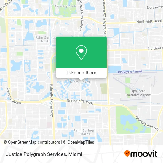
See Justice Polygraph Services, Hialeah, on the map
Public Transit to Justice Polygraph Services in Hialeah
Wondering how to get to Justice Polygraph Services in Hialeah? Moovit helps you find the best way to get to Justice Polygraph Services with step-by-step directions from the nearest public transit station.
Moovit provides free maps and live directions to help you navigate through your city. View schedules, routes, timetables, and find out how long does it take to get to Justice Polygraph Services in real time.
Looking for the nearest stop or station to Justice Polygraph Services? Check out this list of stops closest to your destination: Nw 67 Av & Eagle Nest Ln S; Nw 60 Av & Miami Lakes Dr.
Bus: 183, 37.
Want to see if there’s another route that gets you there at an earlier time? Moovit helps you find alternative routes or times. Get directions from and directions to Justice Polygraph Services easily from the Moovit App or Website.
We make riding to Justice Polygraph Services easy, which is why over 1.5 million users, including users in Hialeah, trust Moovit as the best app for public transit. You don’t need to download an individual bus app or train app, Moovit is your all-in-one transit app that helps you find the best bus time or train time available.
For information on prices of bus and train, costs and ride fares to Justice Polygraph Services, please check the Moovit app.
Use the app to navigate to popular places including to the airport, hospital, stadium, grocery store, mall, coffee shop, school, college, and university.
Justice Polygraph Services Address: 6625 Miami Lakes Dr E Hialeah, FL 33014 street in Hialeah
- Vista Legal,
- Fort Lauderdale Personal Injury Lawyers Diana Santa Maria,
- Blue Cross & Blue Shield,
- Curtoom Companies,
- Florida Truck Insurance Services,
- Yahima Suarez, PA,
- South Florida Friends of Classical Music,
- Aflac,
- Taylor Therapy,
- Law Offices of Diana L. Zapata,
- Total Excellence Services,
- Northwest 67th Avenue & Miami Lakes Drive,
- The Ticktin Law Group,
- Law Office of Claudia Humphrey,
- Dvaldi Flowers,
- Studio 77 Designs,
- Taher Naturals by Lucia Gandara,
- US Government,
- Artola Law Firm,
- Credit Union 1
Places Near Justice Polygraph Services (Hialeah)
- Miami VA Hospital, Miami,
- Brickell City Centre, Miami,
- Sawgrass Mall, Miami,
- Hard Rock Stadium, Miami Gardens,
- Wynwood, Miami,
- Dolphin Mall, Miami,
- Port of Miami Cruise Terminal, Miami,
- Miami Design District, Miami,
- Little Havana, Miami,
- Bayside Marketplace, Miami,
- Keiser University Flagship Campus, West Palm Beach,
- Aventura Mall, Miami Beach,
- Zoo Miami, Miami,
- Richard E. Gerstein Justice Building, Miami,
- Miami Freedom Park, Miami,
- Miami-Dade County Courthouse, Miami,
- Sawgrass mall ( FL ), Miami Beach,
- Dolphin Mall Bus, Miami,
- Marlins Park, Miami,
- Aventura Mall, Miami
How to get to popular places in Miami with public transit
Get around Hialeah by public transit!
Traveling around Hialeah has never been so easy. See step by step directions as you travel to any attraction, street or major public transit station. View bus and train schedules, arrival times, service alerts and detailed routes on a map, so you know exactly how to get to anywhere in Hialeah.
When traveling to any destination around Hialeah use Moovit's Live Directions with Get Off Notifications to know exactly where and how far to walk, how long to wait for your line, and how many stops are left. Moovit will alert you when it's time to get off — no need to constantly re-check whether yours is the next stop.
Wondering how to use public transit in Hialeah or how to pay for public transit in Hialeah? Moovit public transit app can help you navigate your way with public transit easily, and at minimum cost. It includes public transit fees, ticket prices, and costs. Looking for a map of Hialeah public transit lines? Moovit public transit app shows all public transit maps in Hialeah with all Bus, Train, Light Rail and Ferry routes and stops on an interactive map.
Miami has 4 transit type(s), including: Bus, Train, Light Rail and Ferry, operated by several transit agencies, including Broward County Transit, Miami-Dade Transit, Metrorail, Palm Tran, Tri-Rail, Brightline, MARTY, City of Homestead Trolley, Key West Transit, Treasure Coast Connector, GoLine IRT, Amtrak, Greyhound-us, FlixBus-us and Aventura Express Shuttle Bus