Directions to Justis Convenient Store (Lynchburg) with public transportation
The following transit lines have routes that pass near Justis Convenient Store
 Bus: 3A, GREYHOUND US0600, 3B, 5, 9.
- Train: NORTHEAST REGIONAL, CRESCENT.
How to get to Justis Convenient Store by bus?
Click on the bus route to see step by step directions with maps, line arrival times and updated time schedules.
How to get to Justis Convenient Store by train?
Click on the train route to see step by step directions with maps, line arrival times and updated time schedules.
Bus stops near Justis Convenient Store in Lynchburg
Train station near Justis Convenient Store in Lynchburg
- Lynchburg Station, 34 min walk,VIEW
Bus lines to Justis Convenient Store in Lynchburg
What are the closest stations to Justis Convenient Store?
The closest stations to Justis Convenient Store are:
- 12th St. & Taylor St. (Inbound) is 43 yards away, 1 min walk.
- 8th St. & Taylor St. (Outbound) is 472 yards away, 6 min walk.
- Park Ave. & Floyd St. (Outbound) is 617 yards away, 8 min walk.
- Fillmore St. & 15th St. (Inbound) is 722 yards away, 9 min walk.
- Lynchburg Station is 2834 yards away, 34 min walk.
Which bus lines stop near Justis Convenient Store?
These bus lines stop near Justis Convenient Store: 3A, GREYHOUND US0600.
Which train line stops near Justis Convenient Store?
NORTHEAST REGIONAL (Roanoke)
What’s the nearest bus station to Justis Convenient Store in Lynchburg?
The nearest bus station to Justis Convenient Store in Lynchburg is 12th St. & Taylor St. (Inbound). It’s a 1 min walk away.
What time is the first train to Justis Convenient Store in Lynchburg?
The CRESCENT is the first train that goes to Justis Convenient Store in Lynchburg. It stops nearby at 9:41 AM.
What time is the last train to Justis Convenient Store in Lynchburg?
The CRESCENT is the last train that goes to Justis Convenient Store in Lynchburg. It stops nearby at 10:16 PM.
What time is the first bus to Justis Convenient Store in Lynchburg?
The 1B is the first bus that goes to Justis Convenient Store in Lynchburg. It stops nearby at 5:05 AM.
What time is the last bus to Justis Convenient Store in Lynchburg?
The 3A is the last bus that goes to Justis Convenient Store in Lynchburg. It stops nearby at 10:05 PM.
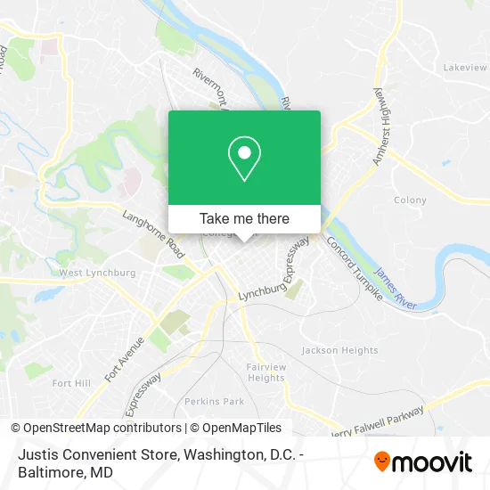
See Justis Convenient Store, Lynchburg, on the map
Public Transit to Justis Convenient Store in Lynchburg
Wondering how to get to Justis Convenient Store in Lynchburg? Moovit helps you find the best way to get to Justis Convenient Store with step-by-step directions from the nearest public transit station.
Moovit provides free maps and live directions to help you navigate through your city. View schedules, routes, timetables, and find out how long does it take to get to Justis Convenient Store in real time.
Looking for the nearest stop or station to Justis Convenient Store? Check out this list of stops closest to your destination: 12th St. & Taylor St. (Inbound); 8th St. & Taylor St. (Outbound); Park Ave. & Floyd St. (Outbound); Fillmore St. & 15th St. (Inbound); Lynchburg Station.
Bus: 3A, GREYHOUND US0600, 3B, 5, 9, 1B.Train: NORTHEAST REGIONAL, CRESCENT.
Want to see if there’s another route that gets you there at an earlier time? Moovit helps you find alternative routes or times. Get directions from and directions to Justis Convenient Store easily from the Moovit App or Website.
We make riding to Justis Convenient Store easy, which is why over 1.5 million users, including users in Lynchburg, trust Moovit as the best app for public transit. You don’t need to download an individual bus app or train app, Moovit is your all-in-one transit app that helps you find the best bus time or train time available.
For information on prices of bus and train, costs and ride fares to Justis Convenient Store, please check the Moovit app.
Use the app to navigate to popular places including to the airport, hospital, stadium, grocery store, mall, coffee shop, school, college, and university.
Justis Convenient Store Address: 1205 12th St Lynchburg, VA 24504 street in Lynchburg
- ATM,
- Shaner's Automobile & Truck Service,
- AAA Gray Top Cab Co,
- Lawhorne's Garage & Body Shop,
- Simply Refurbished,
- Hunton-Randolph Community Center,
- Christian Fellowship Association,
- Twelfth St. (Eastbound, Corner of Floyd St.),
- Presbytery of the Peaks,
- Churches for Urban Ministry,
- Presbyterian Church,
- Westminster Presbyterian Church,
- Adult Learning Center,
- Boonsboro Cleaning Service,
- College Hill Baptist Church,
- Amelia Pride Center Alternative School,
- Dunbar Middle School,
- Seventh-Day Adventist Church,
- General Conference of Seventh-Day Adventists,
- Lynchburg City
Places Near Justis Convenient Store (Lynchburg)
- PG Mall, Prince George's County,
- National Mall, Washington,
- Georgetown, Washington,
- Basilica of the National Shrine, Washington,
- Washington DC VA Medical Center, Washington,
- The Anthem, Washington,
- Rock Creek Tennis Center, Washington,
- Westfield Montgomery Mall, Montgomery County,
- Pennsylvania Ave NW (3rd st and pennsylvania), Washington,
- Warner Theatre, Washington,
- Museum Of The Bible, Washington,
- Washington National Cathedral, Washington,
- Amazon Hq2, Arlington County,
- M&T Bank Stadium, Baltimore,
- Capital One Arena, Washington,
- Sibley Memorial Hospital, Washington,
- Marriott Marquis Washington, DC, Washington,
- National Museum of African American History and Culture, Washington,
- National Zoo, Washington,
- Camden Yards, Baltimore
How to get to popular places in Washington, D.C. - Baltimore, MD with public transit
Get around Lynchburg by public transit!
Traveling around Lynchburg has never been so easy. See step by step directions as you travel to any attraction, street or major public transit station. View bus and train schedules, arrival times, service alerts and detailed routes on a map, so you know exactly how to get to anywhere in Lynchburg.
When traveling to any destination around Lynchburg use Moovit's Live Directions with Get Off Notifications to know exactly where and how far to walk, how long to wait for your line, and how many stops are left. Moovit will alert you when it's time to get off — no need to constantly re-check whether yours is the next stop.
Wondering how to use public transit in Lynchburg or how to pay for public transit in Lynchburg? Moovit public transit app can help you navigate your way with public transit easily, and at minimum cost. It includes public transit fees, ticket prices, and costs. Looking for a map of Lynchburg public transit lines? Moovit public transit app shows all public transit maps in Lynchburg with all Bus, Train, Metro, Light Rail and Ferry routes and stops on an interactive map.
Washington, D.C. - Baltimore, MD has 5 transit type(s), including: Bus, Train, Metro, Light Rail and Ferry, operated by several transit agencies, including WMATA, Montgomery County Ride On, Fairfax Connector, TheBus, PRTC, DASH - Alexandria, Arlington Transit (ART), RTA of Central Maryland, MDOT MTA, MDOT MTA Light RailLink, MDOT MTA Commuter Bus, MDOT MTA Local Bus, FXBGO!, Virginia Railway Express (VRE) and MARC