Directions to K2customtees (Henrico County) with public transportation
The following transit lines have routes that pass near K2customtees
 Bus: 18, BRT, 50, 91.
- Train: CAROLINIAN, FLORIDIAN, NORTHEAST REGIONAL, PALMETTO, SILVER METEOR.
How to get to K2customtees by bus?
Click on the bus route to see step by step directions with maps, line arrival times and updated time schedules.
From Lorton, VA - Amtrak Auto Train Station (LOR), Fairfax County
244 minFrom Rose Gaming Resort, Prince William County
254 minFrom Potomac Mills Mall, Prince William County
229 minFrom Lorton, VA, Fairfax County
238 minFrom Busch Gardens Williamsburg (Employee Parking Lot), James City County
170 minFrom Woodbridge, VA, Prince William County
173 minFrom Amazon Fulfillment Center-Ric3, Richmond
83 minFrom UVA Hospital Medical Center, Charlottesville
318 min
Bus stops near K2customtees in Henrico County
Train station near K2customtees in Henrico County
- Richmond Staples Mill Road Amtrak Station, 62 min walk,VIEW
Bus lines to K2customtees in Henrico County
What are the closest stations to K2customtees?
The closest stations to K2customtees are:
- Maywill at Vital Records And Health Statistics is 596 yards away, 8 min walk.
- Broad + Westmoreland is 750 yards away, 10 min walk.
- Staples Mill Westbound Station is 831 yards away, 11 min walk.
- Richmond Staples Mill Road Amtrak Station is 5313 yards away, 62 min walk.
Which bus lines stop near K2customtees?
These bus lines stop near K2customtees: 18, BRT.
What’s the nearest bus station to K2customtees in Henrico County?
The nearest bus station to K2customtees in Henrico County is Maywill at Vital Records And Health Statistics. It’s a 8 min walk away.
What time is the first train to K2customtees in Henrico County?
The SILVER METEOR is the first train that goes to K2customtees in Henrico County. It stops nearby at 3:52 AM.
What time is the last train to K2customtees in Henrico County?
The SILVER METEOR is the last train that goes to K2customtees in Henrico County. It stops nearby at 3:52 AM.
What time is the first bus to K2customtees in Henrico County?
The BRT is the first bus that goes to K2customtees in Henrico County. It stops nearby at 5:02 AM.
What time is the last bus to K2customtees in Henrico County?
The BRT is the last bus that goes to K2customtees in Henrico County. It stops nearby at 1:33 AM.
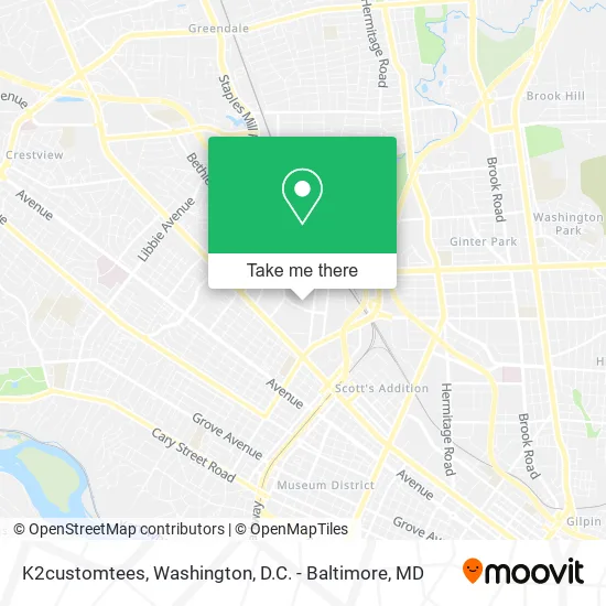
See K2customtees, Henrico County, on the map
Public Transit to K2customtees in Henrico County
Wondering how to get to K2customtees in Henrico County? Moovit helps you find the best way to get to K2customtees with step-by-step directions from the nearest public transit station.
Moovit provides free maps and live directions to help you navigate through your city. View schedules, routes, timetables, and find out how long does it take to get to K2customtees in real time.
Looking for the nearest stop or station to K2customtees? Check out this list of stops closest to your destination: Maywill at Vital Records And Health Statistics; Broad + Westmoreland; Staples Mill Westbound Station; Richmond Staples Mill Road Amtrak Station.
Bus: 18, BRT, 50, 91.Train: CAROLINIAN, FLORIDIAN, NORTHEAST REGIONAL, PALMETTO, SILVER METEOR.
Want to see if there’s another route that gets you there at an earlier time? Moovit helps you find alternative routes or times. Get directions from and directions to K2customtees easily from the Moovit App or Website.
We make riding to K2customtees easy, which is why over 1.5 million users, including users in Henrico County, trust Moovit as the best app for public transit. You don’t need to download an individual bus app or train app, Moovit is your all-in-one transit app that helps you find the best bus time or train time available.
For information on prices of bus and train, costs and ride fares to K2customtees, please check the Moovit app.
Use the app to navigate to popular places including to the airport, hospital, stadium, grocery store, mall, coffee shop, school, college, and university.
K2customtees Address: 4128 Jacque St Richmond, VA 23230 street in Henrico County
- K2awards,
- Aci Distribution,
- Binswanger Glass,
- Richmond Truck Authority,
- Small Car Specialty,
- Mobile Locksmith In Richmond,
- Abundance Organizing,
- Johnstone Supply,
- East Coast Settlements,
- Gillmann Services,
- John W Montgomery Jr Attorney,
- Halcomb Gordon M GBS,
- Samuel P Simpson V Attorney,
- Jonathan R Pond Att,
- Elwood V Elliott Attorney,
- Premiere Family Counseling Center,
- Michael Boykin Display Designs & Signs,
- Bga School of Music,
- Mallory Keck & Wilkerson,
- Holistic Behavioral Health
Places Near K2customtees (Henrico County)
- National Theatre, Washington,
- Georgetown, Washington,
- Washington DC VA Medical Center, Washington,
- Westfield Montgomery Mall, Montgomery County,
- Pennsylvania Ave NW (3rd st and pennsylvania), Washington,
- National Museum of African American History and Culture, Washington,
- Marriott Marquis Washington, DC, Washington,
- Museum Of The Bible, Washington,
- Basilica of the National Shrine, Washington,
- Camden Yards, Baltimore,
- PG Mall, Prince George's County,
- National Zoo, Washington,
- Amazon Hq2, Arlington County,
- Washington National Cathedral, Washington,
- Capital One Arena, Washington,
- Rock Creek Tennis Center, Washington,
- The Anthem, Washington,
- Warner Theatre, Washington,
- Sibley Memorial Hospital, Washington,
- M&T Bank Stadium, Baltimore
How to get to popular places in Washington, D.C. - Baltimore, MD with public transit
Get around Henrico County by public transit!
Traveling around Henrico County has never been so easy. See step by step directions as you travel to any attraction, street or major public transit station. View bus and train schedules, arrival times, service alerts and detailed routes on a map, so you know exactly how to get to anywhere in Henrico County.
When traveling to any destination around Henrico County use Moovit's Live Directions with Get Off Notifications to know exactly where and how far to walk, how long to wait for your line, and how many stops are left. Moovit will alert you when it's time to get off — no need to constantly re-check whether yours is the next stop.
Wondering how to use public transit in Henrico County or how to pay for public transit in Henrico County? Moovit public transit app can help you navigate your way with public transit easily, and at minimum cost. It includes public transit fees, ticket prices, and costs. Looking for a map of Henrico County public transit lines? Moovit public transit app shows all public transit maps in Henrico County with all Bus, Train, Metro, Light Rail and Ferry routes and stops on an interactive map.
Washington, D.C. - Baltimore, MD has 5 transit type(s), including: Bus, Train, Metro, Light Rail and Ferry, operated by several transit agencies, including WMATA, Montgomery County Ride On, Fairfax Connector, TheBus, PRTC, DASH - Alexandria, Arlington Transit (ART), RTA of Central Maryland, MDOT MTA, MDOT MTA Light RailLink, MDOT MTA Commuter Bus, MDOT MTA Local Bus, FXBGO!, Virginia Railway Express (VRE) and MARC