How to get to Kalpak by bus?
Click on the bus route to see step by step directions with maps, line arrival times and updated time schedules.
From Karve Nagar, Pune & Velhe
58 minFrom Viman Nagar Road, Pune & Velhe
87 minFrom Balgandharva Rangmandir, Pune & Velhe
46 minFrom Bharati Vidyapeeth Pune, Pune & Velhe
55 minFrom Mitra Mandal Chowk, Pune & Velhe
54 minFrom International Exhibition Center Project, Pune & Velhe
66 minFrom Shivaji Nagar, Pune & Velhe
41 minFrom Ghorpadi, Pune & Velhe
82 minFrom Employees' Provident Fund Organisation, Pune & Velhe
69 minFrom Lupin Ltd Research Park, Paud
87 min
How to get to Kalpak by train?
Click on the train route to see step by step directions with maps, line arrival times and updated time schedules.
How to get to Kalpak by metro?
Click on the metro route to see step by step directions with maps, line arrival times and updated time schedules.
Bus stops near Kalpak in Pune & Velhe
Train station near Kalpak in Pune & Velhe
- Dapodi, 28 min walk,VIEW
Metro station near Kalpak in Pune & Velhe
- Dapodi, 32 min walk,VIEW
Bus lines to Kalpak in Pune & Velhe
- 21, Swargate - Sangvi Gaon,VIEW
- 41, Lokshahir Hon.Annabhau Sathe Bus Stand Upper Depot - Sangvi Gaon,VIEW
- 113, Vasant Talkies - Sangvi Gaon,VIEW
- 205, Shewalewadi Depot - Sangvi Gaon,VIEW
- 373, Neilsoft Company Infosys (Phase 3) - Sangvi Gaon,VIEW
- 383, Chandkhed - Sangvi Gaon,VIEW
- 21A, Swargate - Sangvi Gaon Via Medi Point Hospital,VIEW
- 383C, Hinjawadi Megapolis Phase 3 - Sangvi Gaon,VIEW
- Y18, Pimplegurav - Narayanpur,VIEW
- 126E, Bopkhel,VIEW
- 277, Bhosari Terminal,VIEW
- 322, Akurdi Railway Station,VIEW
- 325, Pune Station,VIEW
- 354, Pimpri Gaon,VIEW
- 360, Mhalunge Gaon (Bajirao Padale Chowk),VIEW
- 322A, Ma.Na.Pa Bhavan,VIEW
- 360A, Alandi Darshan,VIEW
What are the closest stations to Kalpak?
The closest stations to Kalpak are:
- Makan Hospital is 454 meters away, 6 min walk.
- Sangvi Gaon is 868 meters away, 12 min walk.
- PWD Panyachi Taki Navi Sangvi is 886 meters away, 12 min walk.
- Dapodi is 2131 meters away, 28 min walk.
Which bus lines stop near Kalpak?
These bus lines stop near Kalpak: 113, 205, 21, 299, 322, 360.
Which train lines stop near Kalpak?
These train lines stop near Kalpak: 99810, 99904.
Which metro line stops near Kalpak?
PURPLE (Towards PCMC)
What’s the nearest train station to Kalpak in Pune & Velhe?
The nearest train station to Kalpak in Pune & Velhe is Dapodi. It’s a 28 min walk away.
What’s the nearest bus station to Kalpak in Pune & Velhe?
The nearest bus station to Kalpak in Pune & Velhe is Makan Hospital. It’s a 6 min walk away.
What time is the first metro to Kalpak in Pune & Velhe?
The PURPLE is the first metro that goes to Kalpak in Pune & Velhe. It stops nearby at 6:11 AM.
What time is the last metro to Kalpak in Pune & Velhe?
The PURPLE is the last metro that goes to Kalpak in Pune & Velhe. It stops nearby at 11:22 PM.
What time is the first train to Kalpak in Pune & Velhe?
The 99804 is the first train that goes to Kalpak in Pune & Velhe. It stops nearby at 4:55 AM.
What time is the last train to Kalpak in Pune & Velhe?
The 99901 is the last train that goes to Kalpak in Pune & Velhe. It stops nearby at 1:09 AM.
What time is the first bus to Kalpak in Pune & Velhe?
The 322 is the first bus that goes to Kalpak in Pune & Velhe. It stops nearby at 5:46 AM.
What time is the last bus to Kalpak in Pune & Velhe?
The 322 is the last bus that goes to Kalpak in Pune & Velhe. It stops nearby at 11:43 PM.
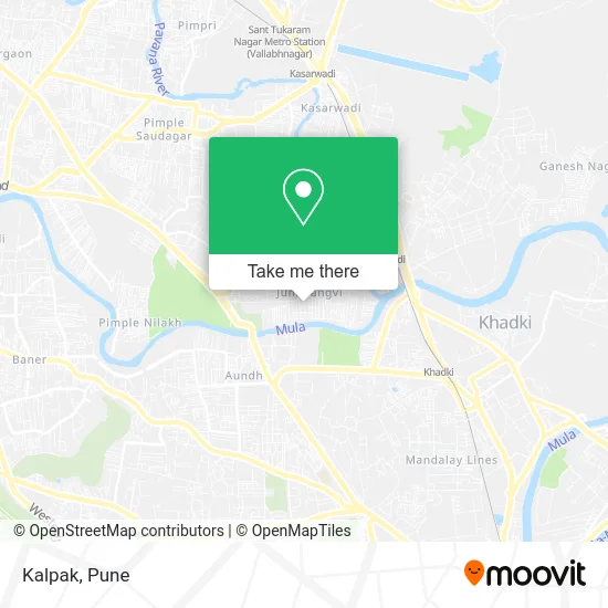
See Kalpak, Pune & Velhe, on the map
Public Transit to Kalpak in Pune & Velhe
Wondering how to get to Kalpak in Pune & Velhe? Moovit helps you find the best way to get to Kalpak with step-by-step directions from the nearest public transit station.
Moovit provides free maps and live directions to help you navigate through your city. View schedules, routes, timetables, and find out how long does it take to get to Kalpak in real time.
Looking for the nearest stop or station to Kalpak? Check out this list of stops closest to your destination: Makan Hospital; Sangvi Gaon; PWD Panyachi Taki Navi Sangvi; Dapodi.
Bus: 113, 205, 21, 299, 322, 360, 41, 373, 126E, 277, 325, 354.Train: 99810, 99904, 99801, 99802, 99803, 99804, 99805.Metro: PURPLE.
Want to see if there’s another route that gets you there at an earlier time? Moovit helps you find alternative routes or times. Get directions from and directions to Kalpak easily from the Moovit App or Website.
We make riding to Kalpak easy, which is why over 1.5 million users, including users in Pune & Velhe, trust Moovit as the best app for public transit. You don’t need to download an individual bus app or train app, Moovit is your all-in-one transit app that helps you find the best bus time or train time available.
For information on prices of bus, metro and train, costs and ride fares to Kalpak, please check the Moovit app.
Use the app to navigate to popular places including to the airport, hospital, stadium, grocery store, mall, coffee shop, school, college, and university.
Kalpak Address: PC Sangvi Road पिंपरी-चिंचवड 411027 MH street in Pune & Velhe
- Vedant Apartment,
- Godan,
- Pushpa pg,
- Swapna Sakar,
- Aparna Joshi Hospital-ER,
- Shri Ganesh,
- Rajni Apartment,
- Shikshak Society,
- Kedar,
- Sainath Society,
- Medlife Medico,
- Vibhuti,
- Dr. Rohini H. Gadhikar,
- Mahavir Stores,
- Swasthya Clinic,
- Vetal Maharaj Society,
- Suvrn Rekha,
- Arihant General Store,
- Samairas Kitchen,
- Ganesh Temple
Places Near Kalpak (Pune & Velhe)
- Chaturshringi Temple, Pune & Velhe,
- ISKCON Pune, Pune & Velhe,
- Dagdusheth Halwai Ganpati Mandir, Pune & Velhe,
- Pune Okayama Friendship Garden, Pune & Velhe,
- Laxmi Road, Pune & Velhe,
- Fc Road, Pune & Velhe,
- Tulshibaug, Pune & Velhe,
- Westend Mall, Pune & Velhe,
- Senapati Bapat Road, Pune & Velhe,
- Vishwakarma Institute Of Technology (Vit), Pune & Velhe,
- Swaminarayan Mandir, Pune & Velhe,
- Symbiosis Lavale Bus Stop, Pune & Velhe,
- ISKCON Nvcc Temple, Pune & Velhe,
- M G Road, Pune & Velhe,
- Sarasbaug, Pune & Velhe,
- Dagadusheth Halwai Ganapati Temple, Pune & Velhe,
- Raviwar Peth, Pune & Velhe,
- Pvr Icon - Pavilion Mall, Pune & Velhe,
- Cognizant Deccan Campus (CDC), Paud,
- Ion Digital Zone, Pune & Velhe
How to get to popular places in Pune with public transit
Get around Pune & Velhe by public transit!
Traveling around Pune & Velhe has never been so easy. See step by step directions as you travel to any attraction, street or major public transit station. View bus and train schedules, arrival times, service alerts and detailed routes on a map, so you know exactly how to get to anywhere in Pune & Velhe.
When traveling to any destination around Pune & Velhe use Moovit's Live Directions with Get Off Notifications to know exactly where and how far to walk, how long to wait for your line, and how many stops are left. Moovit will alert you when it's time to get off — no need to constantly re-check whether yours is the next stop.
Wondering how to use public transit in Pune & Velhe or how to pay for public transit in Pune & Velhe? Moovit public transit app can help you navigate your way with public transit easily, and at minimum cost. It includes public transit fees, ticket prices, and costs. Looking for a map of Pune & Velhe public transit lines? Moovit public transit app shows all public transit maps in Pune & Velhe with all Bus, Train and Metro routes and stops on an interactive map.
Pune has 3 transit type(s), including: Bus, Train and Metro, operated by several transit agencies, including Pune Metro (Maha Metro), PMPML, PMPML Night Bus Service (Ratrani) and Central Railways (Indian Railways)