Kells stop - Sunday schedule
| Line | Direction | Time |
|---|---|---|
| 109A | Kells | 3:11 AM |
| 109A | Kells | 4:11 AM |
| 109A | Kells | 5:11 AM |
| 187 | Virginia | 6:00 AM |
| 109A | Kells | 6:11 AM |
| 109A | Kells | 7:11 AM |
| 186 | Cavan Bus Stn | 7:20 AM |
| 109X | Cavan | 7:20 AM |
| 178 | Bailieborough | 7:40 AM |
| 109A | Kells | 8:05 AM |
| 187 | Virginia | 8:45 AM |
| 109A | Kells | 9:05 AM |
| 177 | Ardee N33 | 9:17 AM |
| 109X | Cavan | 9:22 AM |
| 109A | Kells | 10:06 AM |
| 109 | Kells | 10:10 AM |
| 109X | Cavan | 10:31 AM |
| 109A | Kells | 11:05 AM |
| 109 | Kells | 11:13 AM |
| 186 | Cavan Bus Stn | 11:20 AM |
| 109X | Cavan | 11:25 AM |
| 109A | Kells | 12:10 PM |
| 187 | Virginia | 12:15 PM |
| 109 | Kells | 12:17 PM |
| 109X | Cavan | 12:39 PM |
Directions to Kells stop with public transit
The following transit lines have routes that pass near Kells
 Bus: 109, 109A, 109X, 177, 178.
How to get to Kells stop by bus?
Click on the bus route to see step by step directions with maps, line arrival times and updated time schedules.
Bus stops near Kells stop
- Kells, 1 min walk,
- Father Mccullen Park, 11 min walk,
Bus lines to Kells stop
- 177, Kells,
- 178, Kells,
- 186, Cavan Bus Stn,
- 107, Kells,
- 109, Dublin,
- 109A, Dublin Airport,
- 109X, St. Stephen's Green,
- 187, Kells,
- 167, Dundalk,
What are the closest stations to Kells?
The closest stations to Kells are:
- Kells stop is 71 meters away, 1 min walk.
- Father Mccullen Park stop is 848 meters away, 11 min walk.
Which bus lines stop near Kells?
These bus lines stop near Kells: 109, 109A, 109X.
What’s the nearest bus station to Kells?
The nearest bus station to Kells is Kells. It’s a 1 min walk away.
What time is the first bus to Kells?
The 109A is the first bus that goes to Kells. It stops nearby at 3:12 AM.
What time is the last bus to Kells?
The 109A is the last bus that goes to Kells. It stops nearby at 4:12 AM.
Kells station
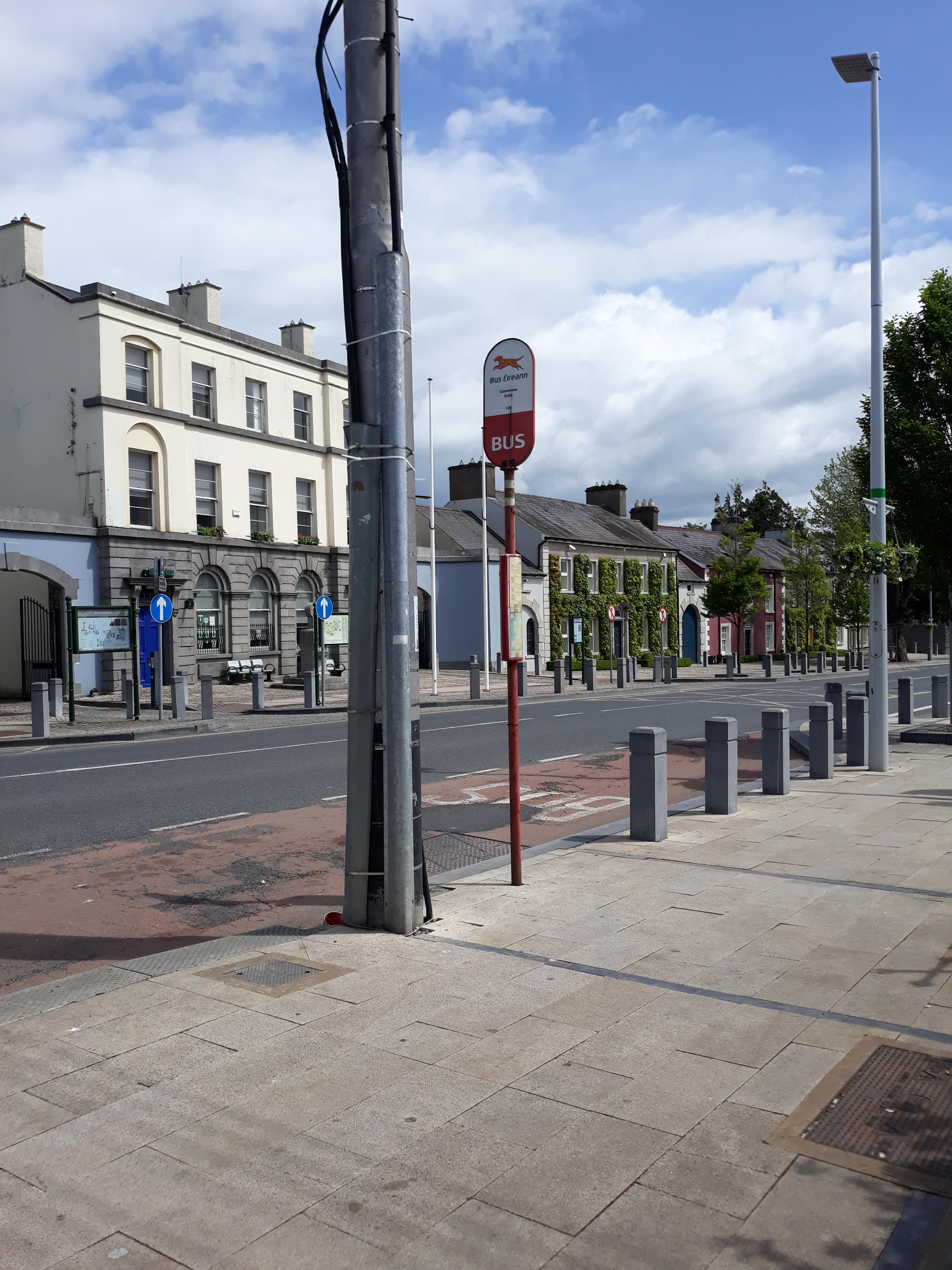 Taken by Anonymous
See Kells stop on the map
Public transit to Kells stop (ID: 135231)
Looking for directions to Kells in Kells, Ireland?
Download the Moovit App to find the current schedule and step-by-step directions for Bus routes that pass through Kells.
Looking for the nearest stops closest to Kells ? Check out this list of closest stops to your destination: Kells; Father Mccullen Park.
Bus: 109, 109A, 109X, 177, 178, 186, 107, 167.
We make riding on public transit to Kells easy, which is why over 1.7 billion users, including users in Kells trust Moovit as the best app for public transit.
Use the app to navigate to popular places including to the airport, hospital, stadium, grocery store, mall, coffee shop, school, college, and university.
Kells stop’s code is 135231
The first line to this stop is 109A, at 3:11 AM, and the last line is 109A at 2:11 AM.
This stop serves Bus Éireann, TFI Local Link Cavan Monaghan and TFI Local Link Louth Meath Fingal’s lines
Popular routes from Kells stop
- Kells,
- Father Mccullen Park
Bus stops near Kells stop
- An Caisleán Gearr,
- Edenmore Green,
- Lucan Village,
- Ringsend Road,
- Ballymun,
- Edenderry Sc,
- Rockview,
- Ballinode,
- Clane Hospital,
- Jetland Shop Cntr,
- Newlands Mnr,
- University College Hospital Galway,
- Fosters Avenue,
- Westport,
- Leeson Street Upper,
- Errigal Rd,
- St Francis College,
- White Oaks,
- Lower Baggot Street,
- Ballsgrove
Popular public transit stations in Kells
Get around Kells by public transit!
Traveling around Kells has never been so easy. See step by step directions as you travel to any attraction, street or major public transit station. View bus and train schedules, arrival times, service alerts and detailed routes on a map, so you know exactly how to get to anywhere in Kells.
When traveling to any destination around Kells use Moovit's Live Directions with Get Off Notifications to know exactly where and how far to walk, how long to wait for your line, and how many stops are left. Moovit will alert you when it's time to get off — no need to constantly re-check whether yours is the next stop.
Wondering how to use public transit in Kells or how to pay for public transit in Kells? Moovit public transit app can help you navigate your way with public transit easily, and at minimum cost. It includes public transit fees, ticket prices, and costs. Looking for a map of Kells public transit lines? Moovit public transit app shows all public transit maps in Kells with all Bus, Train and Light Rail routes and stops on an interactive map.
Ireland has 3 transit type(s), including: Bus, Train and Light Rail, operated by several transit agencies, including Luas, Bus Átha Cliath – Dublin Bus, Bus Éireann, Go-Ahead Ireland, Nitelink, Dublin Bus, Citylink, City Direct, Kenneally's Bus Service, Aircoach, TFI Local Link Mayo, Irish Rail, Express Bus, JJ/Bernard Kavanagh, Dublin Coach and Kearns Transport