Directions to Keltech (Roanoke County) with public transportation
The following transit lines have routes that pass near Keltech
 Bus: 55.
How to get to Keltech by bus?
Click on the bus route to see step by step directions with maps, line arrival times and updated time schedules.
Bus stop near Keltech in Roanoke County
- Tanglewood Mall at Tj Maxx, 5 min walk,VIEW
Bus lines to Keltech in Roanoke County
- 55, Tanglewood Mall (Barnes And Noble),VIEW
What are the closest stations to Keltech?
The closest stations to Keltech are:
- Tanglewood Mall at Tj Maxx is 364 yards away, 5 min walk.
Which bus line stops near Keltech?
55 (Tanglewood Mall (Barnes And Noble))
What’s the nearest bus station to Keltech in Roanoke County?
The nearest bus station to Keltech in Roanoke County is Tanglewood Mall at Tj Maxx. It’s a 5 min walk away.
What time is the first bus to Keltech in Roanoke County?
The 55 is the first bus that goes to Keltech in Roanoke County. It stops nearby at 6:41 AM.
What time is the last bus to Keltech in Roanoke County?
The 55 is the last bus that goes to Keltech in Roanoke County. It stops nearby at 8:42 PM.
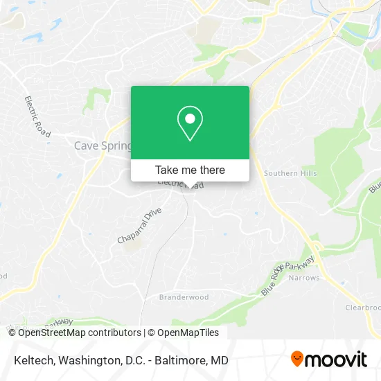
See Keltech, Roanoke County, on the map
Public Transit to Keltech in Roanoke County
Wondering how to get to Keltech in Roanoke County? Moovit helps you find the best way to get to Keltech with step-by-step directions from the nearest public transit station.
Moovit provides free maps and live directions to help you navigate through your city. View schedules, routes, timetables, and find out how long does it take to get to Keltech in real time.
Looking for the nearest stop or station to Keltech? Check out this list of stops closest to your destination: Tanglewood Mall at Tj Maxx.
Bus: 55.
Want to see if there’s another route that gets you there at an earlier time? Moovit helps you find alternative routes or times. Get directions from and directions to Keltech easily from the Moovit App or Website.
We make riding to Keltech easy, which is why over 1.5 million users, including users in Roanoke County, trust Moovit as the best app for public transit. You don’t need to download an individual bus app or train app, Moovit is your all-in-one transit app that helps you find the best bus time or train time available.
For information on prices of bus and train, costs and ride fares to Keltech, please check the Moovit app.
Use the app to navigate to popular places including to the airport, hospital, stadium, grocery store, mall, coffee shop, school, college, and university.
Keltech Address: 5115 Bernard Dr Roanoke, VA 24018 street in Roanoke County
- Lakeview Properties LC,
- Lugar Jim CRS, Gri,
- Ovm Financial,
- Crouch CPA,
- Sherman Christine G, MD,
- Ikon Office Solutions,
- Kinderdance International,
- Dr Donald J Heindel MD,
- Dr Alexander F Cardenas MD,
- Dr Charles K Gadpaille MD,
- Dr Minh-Chau Dang MD,
- Rescare Homecare,
- Dr Robert G Duggar MD,
- Mountain Psychiatric,
- Maxine M Lee,
- Anesthesiology Consultants,
- Dr Teodulo Remandaban MD,
- Norman Harris, MD,
- Dr Ursula Curtiss MD,
- Dr Charles Sturm MD
Places Near Keltech (Roanoke County)
- Museum Of The Bible, Washington,
- Westfield Montgomery Mall, Montgomery County,
- Amazon Hq2, Arlington County,
- National Museum of African American History and Culture, Washington,
- PG Mall, Prince George's County,
- Rock Creek Tennis Center, Washington,
- Capital One Arena, Washington,
- M&T Bank Stadium, Baltimore,
- The Anthem, Washington,
- Sibley Memorial Hospital, Washington,
- Georgetown, Washington,
- Washington National Cathedral, Washington,
- Warner Theatre, Washington,
- Marriott Marquis Washington, DC, Washington,
- Basilica of the National Shrine, Washington,
- National Zoo, Washington,
- Camden Yards, Baltimore,
- National Theatre, Washington,
- Washington DC VA Medical Center, Washington,
- Pennsylvania Ave NW (3rd st and pennsylvania), Washington
How to get to popular places in Washington, D.C. - Baltimore, MD with public transit
Get around Roanoke County by public transit!
Traveling around Roanoke County has never been so easy. See step by step directions as you travel to any attraction, street or major public transit station. View bus and train schedules, arrival times, service alerts and detailed routes on a map, so you know exactly how to get to anywhere in Roanoke County.
When traveling to any destination around Roanoke County use Moovit's Live Directions with Get Off Notifications to know exactly where and how far to walk, how long to wait for your line, and how many stops are left. Moovit will alert you when it's time to get off — no need to constantly re-check whether yours is the next stop.
Wondering how to use public transit in Roanoke County or how to pay for public transit in Roanoke County? Moovit public transit app can help you navigate your way with public transit easily, and at minimum cost. It includes public transit fees, ticket prices, and costs. Looking for a map of Roanoke County public transit lines? Moovit public transit app shows all public transit maps in Roanoke County with all Bus, Train, Metro, Light Rail and Ferry routes and stops on an interactive map.
Washington, D.C. - Baltimore, MD has 5 transit type(s), including: Bus, Train, Metro, Light Rail and Ferry, operated by several transit agencies, including WMATA, Montgomery County Ride On, Fairfax Connector, TheBus, PRTC, DASH - Alexandria, Arlington Transit (ART), RTA of Central Maryland, MDOT MTA, MDOT MTA Light RailLink, MDOT MTA Commuter Bus, MDOT MTA Local Bus, FXBGO!, Virginia Railway Express (VRE) and MARC