Directions to Key Islander Condominium (Key Biscayne) with public transportation
The following transit lines have routes that pass near Key Islander Condominium
 Bus: 26.
How to get to Key Islander Condominium by bus?
Click on the bus route to see step by step directions with maps, line arrival times and updated time schedules.
From Seybold Building, Miami
58 minFrom Yve Hotel Miami, Miami
56 minFrom Joe's Stone Crab, Miami Beach
88 minFrom Colombian Consulate, Miami
57 minFrom SW 8th St / SW 12th Ave, Miami
55 minFrom Hard Rock CAFE, Miami
68 minFrom Target, Miami Beach
80 minFrom Apple store brickell, Miami
44 minFrom Little Havana, Miami
61 minFrom Hobie Island Beach, Miami
42 min
Bus stop near Key Islander Condominium in Key Biscayne
- Crandon Bd & E Enid Dr, 6 min walk,VIEW
Bus lines to Key Islander Condominium in Key Biscayne
- 26, 26 - Key Biscayne,VIEW
What are the closest stations to Key Islander Condominium?
The closest stations to Key Islander Condominium are:
- Crandon Bd & E Enid Dr is 490 yards away, 6 min walk.
Which bus line stops near Key Islander Condominium?
26 (26 - Key Biscayne)
What’s the nearest bus station to Key Islander Condominium in Key Biscayne?
The nearest bus station to Key Islander Condominium in Key Biscayne is Crandon Bd & E Enid Dr. It’s a 6 min walk away.
What time is the first bus to Key Islander Condominium in Key Biscayne?
The 26 is the first bus that goes to Key Islander Condominium in Key Biscayne. It stops nearby at 5:52 AM.
What time is the last bus to Key Islander Condominium in Key Biscayne?
The 26 is the last bus that goes to Key Islander Condominium in Key Biscayne. It stops nearby at 10:32 PM.
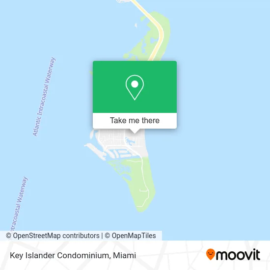
See Key Islander Condominium, Key Biscayne, on the map
Public Transit to Key Islander Condominium in Key Biscayne
Wondering how to get to Key Islander Condominium in Key Biscayne? Moovit helps you find the best way to get to Key Islander Condominium with step-by-step directions from the nearest public transit station.
Moovit provides free maps and live directions to help you navigate through your city. View schedules, routes, timetables, and find out how long does it take to get to Key Islander Condominium in real time.
Looking for the nearest stop or station to Key Islander Condominium? Check out this list of stops closest to your destination: Crandon Bd & E Enid Dr.
Bus: 26.
Want to see if there’s another route that gets you there at an earlier time? Moovit helps you find alternative routes or times. Get directions from and directions to Key Islander Condominium easily from the Moovit App or Website.
We make riding to Key Islander Condominium easy, which is why over 1.5 million users, including users in Key Biscayne, trust Moovit as the best app for public transit. You don’t need to download an individual bus app or train app, Moovit is your all-in-one transit app that helps you find the best bus time or train time available.
For information on prices of bus and train, costs and ride fares to Key Islander Condominium, please check the Moovit app.
Use the app to navigate to popular places including to the airport, hospital, stadium, grocery store, mall, coffee shop, school, college, and university.
Key Islander Condominium Address: 290 Sunrise Dr Key Biscayne, FL 33149 street in Key Biscayne
- Governors Lodge Condo Condo Key Biscayne,
- Key Biscayne Emergency Locksmith Co,
- Office,
- Boj Jorge Pa,
- Key Biscayne Locksmiths,
- Target Micro Inc,
- Shazna Jai,
- Ocean Club Basketball Court,
- Coral Reef at Key Biscayne,
- Beach Bar & Grill,
- Med Wellness Group Spa,
- Bahama House South,
- Group Ivy,
- Vapp Services,
- Exit Realty Brickell,
- Ritz-Carlton,
- DNS Tech,
- Blink Charging,
- Key Biscayne, Florida,
- Key Biscayne Shopping Center
Places Near Key Islander Condominium (Key Biscayne)
- Little Havana, Miami,
- Brickell City Centre, Miami,
- Zoo Miami, Miami,
- Marlins Park, Miami,
- Aventura Mall, Miami Beach,
- Miami-Dade County Courthouse, Miami,
- Dolphin Mall, Miami,
- Miami Design District, Miami,
- Bayside Marketplace, Miami,
- Dolphin Mall Bus, Miami,
- Sawgrass Mall, Miami,
- Port of Miami Cruise Terminal, Miami,
- Miami Freedom Park, Miami,
- Keiser University Flagship Campus, West Palm Beach,
- Sawgrass mall ( FL ), Miami Beach,
- Richard E. Gerstein Justice Building, Miami,
- Miami VA Hospital, Miami,
- Aventura Mall, Miami,
- Hard Rock Stadium, Miami Gardens,
- Wynwood, Miami
How to get to popular places in Miami with public transit
Get around Key Biscayne by public transit!
Traveling around Key Biscayne has never been so easy. See step by step directions as you travel to any attraction, street or major public transit station. View bus and train schedules, arrival times, service alerts and detailed routes on a map, so you know exactly how to get to anywhere in Key Biscayne.
When traveling to any destination around Key Biscayne use Moovit's Live Directions with Get Off Notifications to know exactly where and how far to walk, how long to wait for your line, and how many stops are left. Moovit will alert you when it's time to get off — no need to constantly re-check whether yours is the next stop.
Wondering how to use public transit in Key Biscayne or how to pay for public transit in Key Biscayne? Moovit public transit app can help you navigate your way with public transit easily, and at minimum cost. It includes public transit fees, ticket prices, and costs. Looking for a map of Key Biscayne public transit lines? Moovit public transit app shows all public transit maps in Key Biscayne with all Bus, Train, Light Rail and Ferry routes and stops on an interactive map.
Miami has 4 transit type(s), including: Bus, Train, Light Rail and Ferry, operated by several transit agencies, including Broward County Transit, Miami-Dade Transit, Metrorail, Palm Tran, Tri-Rail, Brightline, MARTY, City of Homestead Trolley, Key West Transit, Treasure Coast Connector, GoLine IRT, Amtrak, Greyhound-us, FlixBus-us and Aventura Express Shuttle Bus