How to get to Keycod by Colectivo?
Click on the Colectivo route to see step by step directions with maps, line arrival times and updated time schedules.
From Granja Don Mario, Almirante Brown
42 minFrom Estadio Parque Roca, Distrito Federal
58 minFrom Avenida Calchaquí, Quilmes
64 minFrom Estación Rafael Calzada [Línea Roca], Almirante Brown
42 minFrom Solano, Quilmes
53 minFrom Unidad Penal 40, Lomas De Zamora
46 minFrom Avenida Coronel Roca 5252, Distrito Federal
61 minFrom Ex Auchan, Avellaneda
71 minFrom Estadio Libertadores de América (Club Atlético Independiente), Avellaneda
66 minFrom Villa Domínico, Avellaneda
87 min
How to get to Keycod by train?
Click on the train route to see step by step directions with maps, line arrival times and updated time schedules.
From Granja Don Mario, Almirante Brown
23 minFrom Estadio Parque Roca, Distrito Federal
132 minFrom Estación Rafael Calzada [Línea Roca], Almirante Brown
17 minFrom Unidad Penal 40, Lomas De Zamora
73 minFrom Ex Auchan, Avellaneda
44 minFrom Estadio Libertadores de América (Club Atlético Independiente), Avellaneda
37 minFrom Villa Domínico, Avellaneda
40 min
Colectivo stops near Keycod in Lomas De Zamora
Train station near Keycod in Lomas De Zamora
- Banfield, 14 min walk,VIEW
Colectivo lines to Keycod in Lomas De Zamora
- COMBI, Terminal Madero,VIEW
- 164, Rb - Est. Burzaco - Pompeya (X Garibaldi),VIEW
- 540, B: Estación Lomas x La Salada,VIEW
- 542, A: Estación Lomas,VIEW
- 543, B: Est. Lomas de Zamora,VIEW
- 544, L: Puente La Noria x Lope de Vega,VIEW
- 550, U: Estación Lomas x Unamuno,VIEW
- 551, A: Estación Lomas x Itatí,VIEW
- 553, A: Estación Lomas,VIEW
- 561, Estación Lomas de Zamora,VIEW
- 562, B: Est. Lomas de Zamora x Frías,VIEW
- 318, M: Monte Grande,VIEW
- 406, B: Estación R. Mejía x Mendeville,VIEW
- 338, J: Alpargatas x Hurlingham x Pasco,VIEW
What are the closest stations to Keycod?
The closest stations to Keycod are:
- Gorriti Y España (164 - 540 - 542 - 543 - 544 - 550 - 561) is 61 meters away, 1 min walk.
- Gorriti Y Avenida Meeks (Estación Lomas) is 154 meters away, 2 min walk.
- Loria Y España (Estación Lomas De Zamora) is 198 meters away, 3 min walk.
- Banfield is 1037 meters away, 14 min walk.
Which Colectivo lines stop near Keycod?
These Colectivo lines stop near Keycod: 164, 266, 278, 318, 543.
Which train line stops near Keycod?
ROCA (Alejandro Korn→Constitución)
What’s the nearest train station to Keycod in Lomas De Zamora?
The nearest train station to Keycod in Lomas De Zamora is Banfield. It’s a 14 min walk away.
What’s the nearest Colectivo station to Keycod in Lomas De Zamora?
The nearest Colectivo station to Keycod in Lomas De Zamora is Gorriti Y España (164 - 540 - 542 - 543 - 544 - 550 - 561). It’s a 1 min walk away.
What time is the first train to Keycod in Lomas De Zamora?
The ROCA is the first train that goes to Keycod in Lomas De Zamora. It stops nearby at 3:02 AM.
What time is the last train to Keycod in Lomas De Zamora?
The ROCA is the last train that goes to Keycod in Lomas De Zamora. It stops nearby at 11:56 PM.
What time is the first Colectivo to Keycod in Lomas De Zamora?
The 406 is the first Colectivo that goes to Keycod in Lomas De Zamora. It stops nearby at 3:00 AM.
What time is the last Colectivo to Keycod in Lomas De Zamora?
The 164 is the last Colectivo that goes to Keycod in Lomas De Zamora. It stops nearby at 3:49 AM.
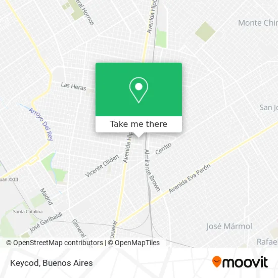
See Keycod, Lomas De Zamora, on the map
Public Transit to Keycod in Lomas De Zamora
Wondering how to get to Keycod in Lomas De Zamora? Moovit helps you find the best way to get to Keycod with step-by-step directions from the nearest public transit station.
Moovit provides free maps and live directions to help you navigate through your city. View schedules, routes, timetables, and find out how long does it take to get to Keycod in real time.
Looking for the nearest stop or station to Keycod? Check out this list of stops closest to your destination: Gorriti Y España (164 - 540 - 542 - 543 - 544 - 550 - 561); Gorriti Y Avenida Meeks (Estación Lomas); Loria Y España (Estación Lomas De Zamora); Banfield.
Colectivo: 164, 266, 278, 318, 543, COMBI, 540, 542, 406, 338.Train: ROCA.
Want to see if there’s another route that gets you there at an earlier time? Moovit helps you find alternative routes or times. Get directions from and directions to Keycod easily from the Moovit App or Website.
We make riding to Keycod easy, which is why over 1.5 million users, including users in Lomas De Zamora, trust Moovit as the best app for public transit. You don’t need to download an individual bus app or train app, Moovit is your all-in-one transit app that helps you find the best bus time or train time available.
For information on prices of Colectivo and train, costs and ride fares to Keycod, please check the Moovit app.
Use the app to navigate to popular places including to the airport, hospital, stadium, grocery store, mall, coffee shop, school, college, and university.
Keycod Address: España 78 1832 Lomas de Zamora street in Lomas De Zamora
- Adriana C Nizzero,
- Yesica Ferraro Psicológa,
- Dentista-Larraburu Guillermo,
- Dentista-Gonzalez Alejandra M,
- Instituto Ecografico Dr Fuentes,
- Lomas de Zamora,
- Ginecologo-Lopez Oscar Ruben,
- España 55,
- Teatro Coliseo,
- Veronica I Bignone,
- Ricky Sarkany,
- Elementos Esenciales-Perfumería,
- Dermatologo-Baccarini Emiliano,
- Peralta Silvia,
- Estudios Juridicos-Estudio Chari & Asociados,
- Dra. Rossi Liliana S,
- Contexto Analítico,
- Dentista-Foti Viviana Fernanda,
- Ginecologo-Egitto Maria Ana,
- Estética-Dermatomedicina
Places Near Keycod (Lomas De Zamora)
- Hospital Santa Lucia, Distrito Federal,
- Barrio Chino, Distrito Federal,
- Flores, Distrito Federal,
- Aeropuerto Ezeiza, Distrito Federal,
- CABA, Distrito Federal,
- Unicenter Shopping, San Isidro,
- Buenos Aires, Distrito Federal,
- Movistar Arena, Distrito Federal,
- Parque de la Ciudad, Distrito Federal,
- Jardín Japonés, Distrito Federal,
- Estadio Monumental (River Plate), Distrito Federal,
- Avellaneda, Avellaneda,
- La Plata, La Plata,
- Facultad de Odontología (UBA), Distrito Federal,
- Once, Distrito Federal,
- Tecnópolis, Vicente López,
- La Plata, La Plata,
- Abasto Shopping, Distrito Federal,
- Aeroparque Jorge Newbery,
- Dot Baires Shopping, Vicente López
How to get to popular places in Buenos Aires with public transit
Get around Lomas De Zamora by public transit!
Traveling around Lomas De Zamora has never been so easy. See step by step directions as you travel to any attraction, street or major public transit station. View bus and train schedules, arrival times, service alerts and detailed routes on a map, so you know exactly how to get to anywhere in Lomas De Zamora.
When traveling to any destination around Lomas De Zamora use Moovit's Live Directions with Get Off Notifications to know exactly where and how far to walk, how long to wait for your line, and how many stops are left. Moovit will alert you when it's time to get off — no need to constantly re-check whether yours is the next stop.
Wondering how to use public transit in Lomas De Zamora or how to pay for public transit in Lomas De Zamora? Moovit public transit app can help you navigate your way with public transit easily, and at minimum cost. It includes public transit fees, ticket prices, and costs. Looking for a map of Lomas De Zamora public transit lines? Moovit public transit app shows all public transit maps in Lomas De Zamora with all Colectivo, Train, Subte, Light Rail and Ferry routes and stops on an interactive map.
Buenos Aires has 5 transit type(s), including: Colectivo, Train, Subte, Light Rail and Ferry, operated by several transit agencies, including Municipalidad Carmen de Areco, Trenes Argentinos, Ferrovías, Metrovías, Subte de Buenos Aires, Doscientos Ocho Transporte Automotor S.A., Empresa del Oeste, Empresa de Transportes Tratado del PIlar S.R.L., Transportes Veintidos de Septiembre, Sargento Cabral, Transportes Sesenta y Ocho, Transportes Quirno Costa, Transportes Santa Fe, Transportes Automotores Riachuelo and Transportes Atlantida